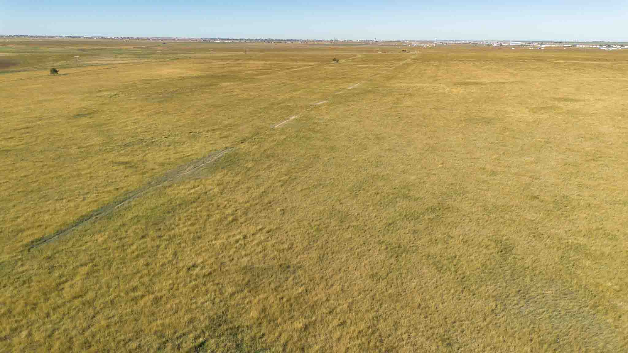
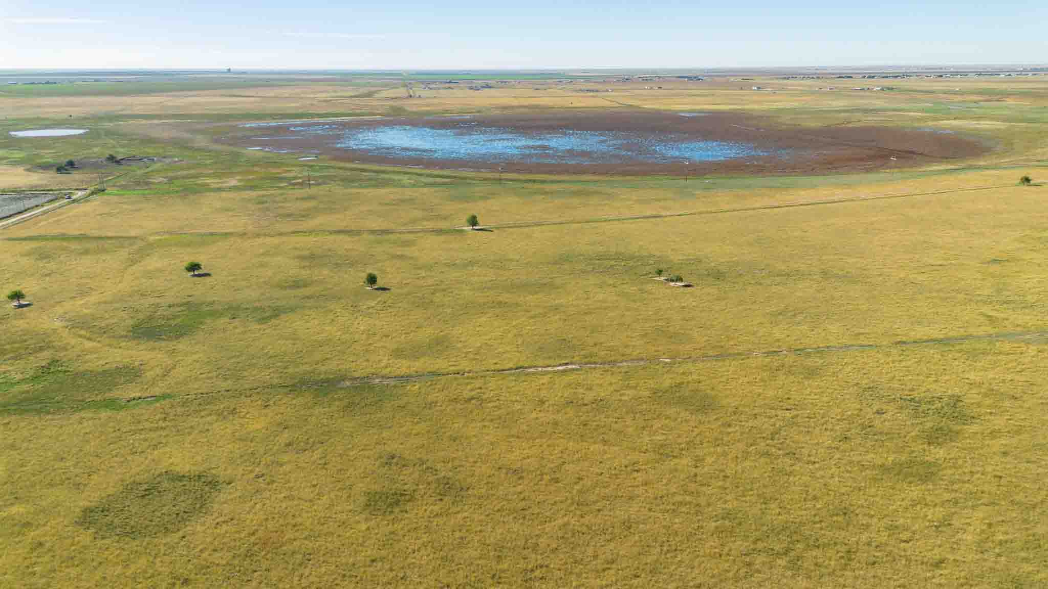
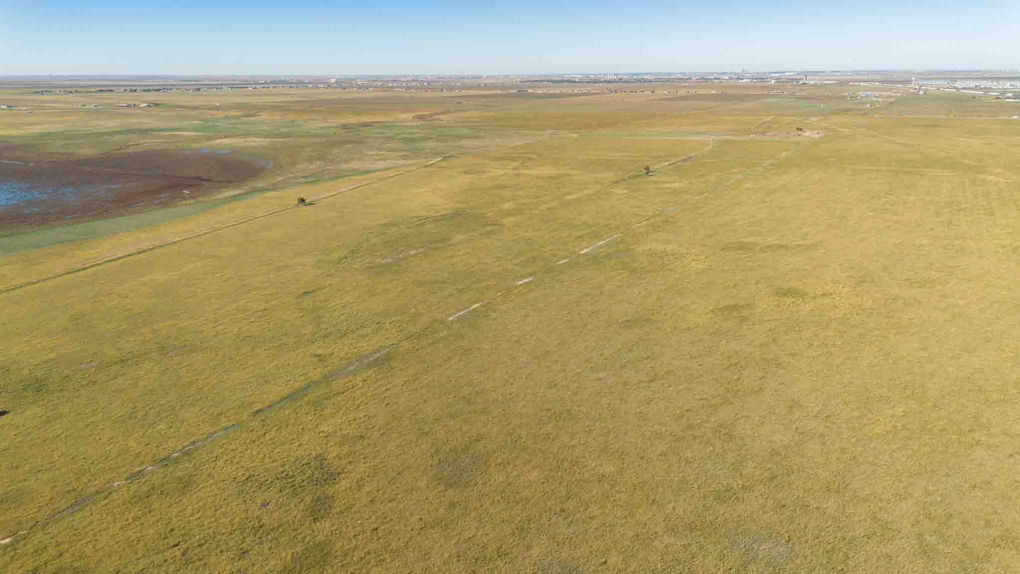
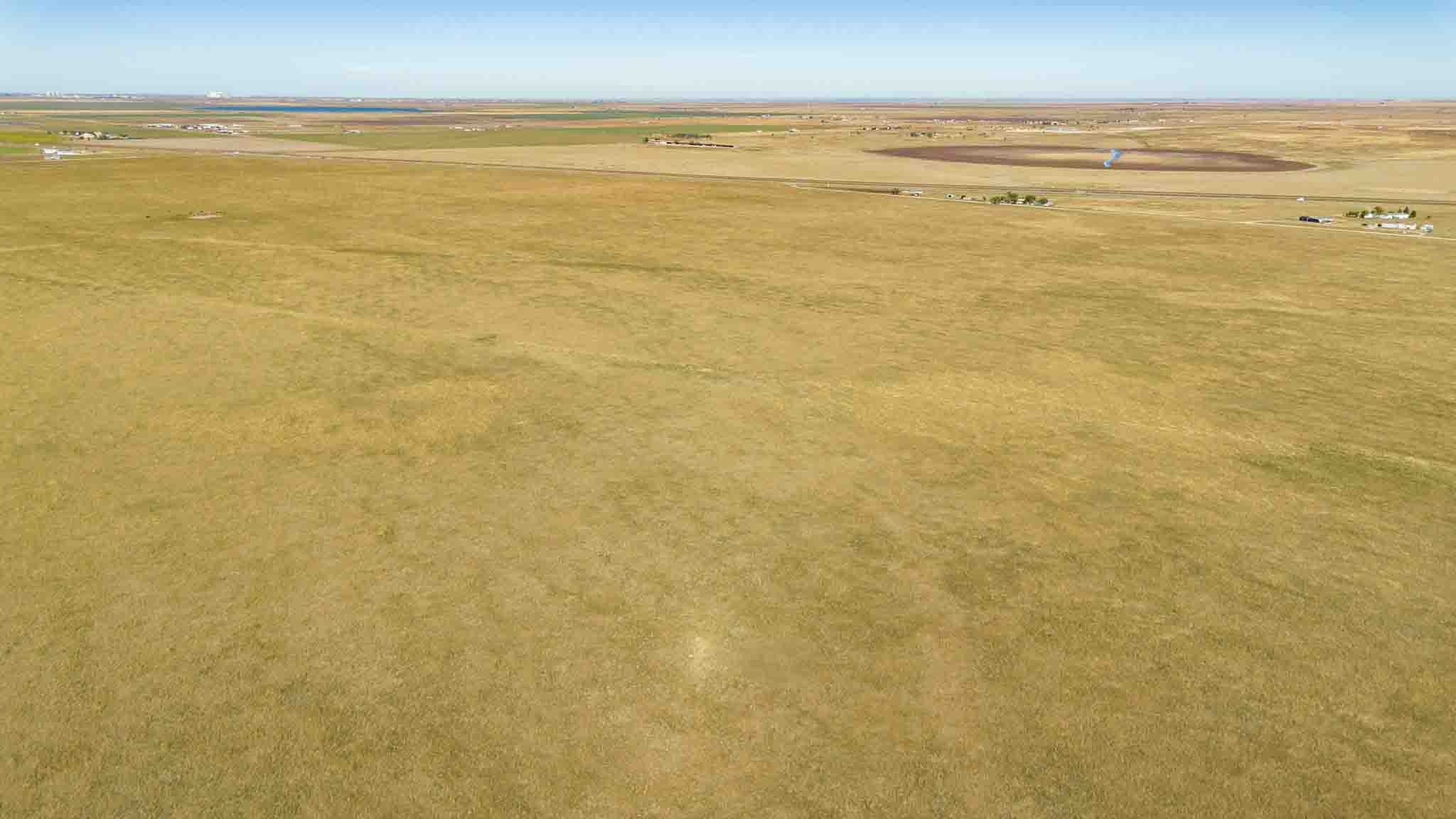
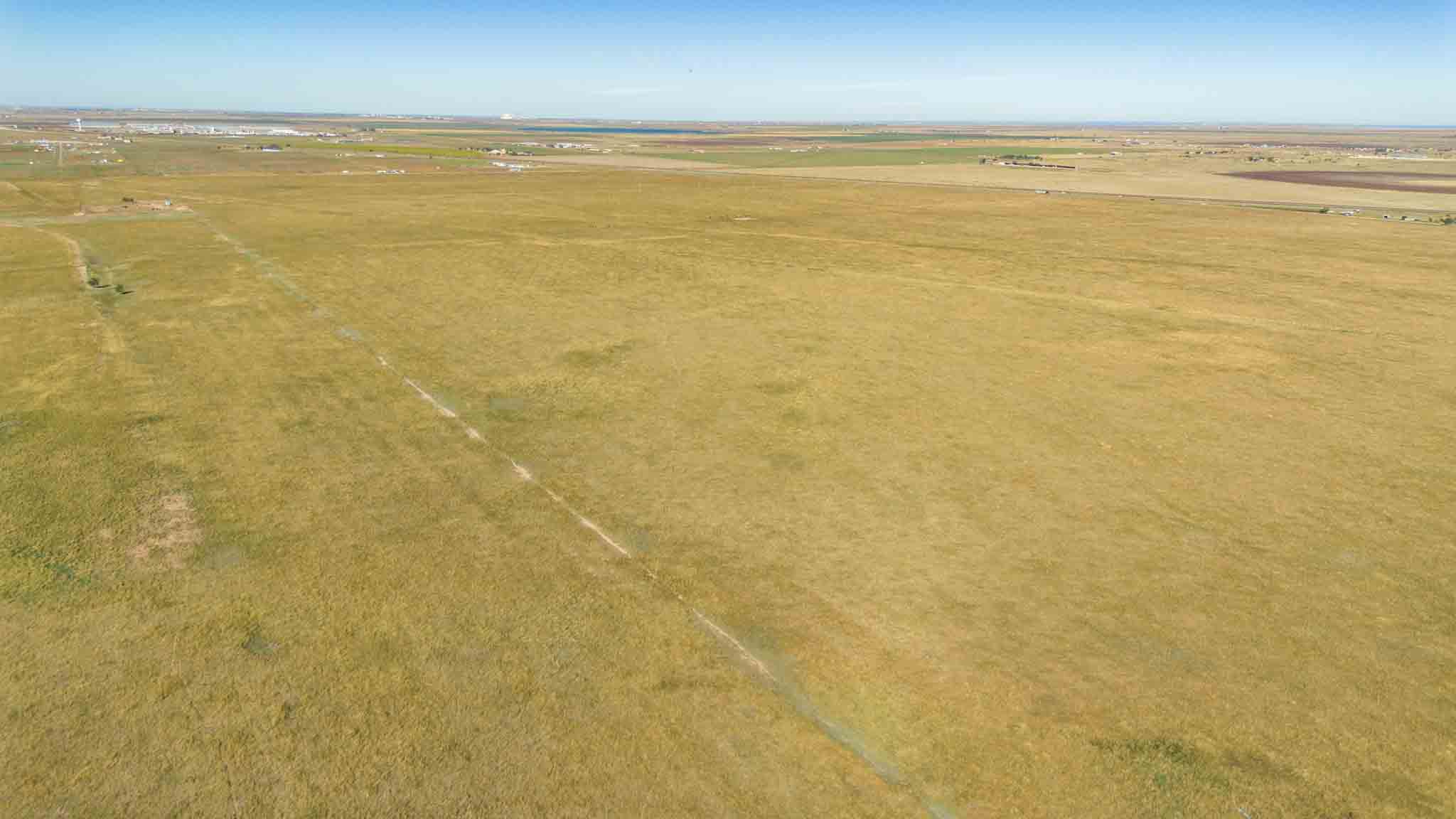
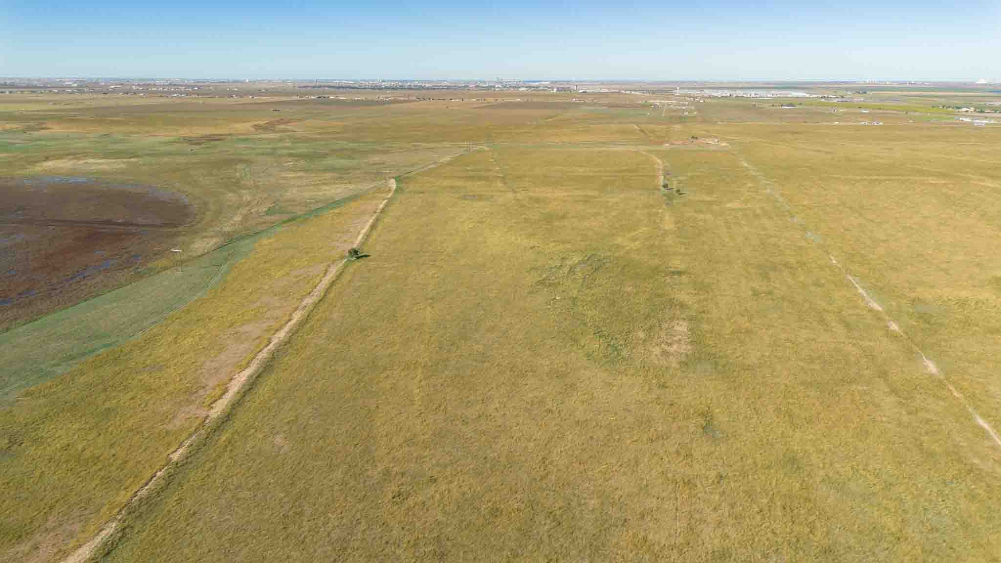
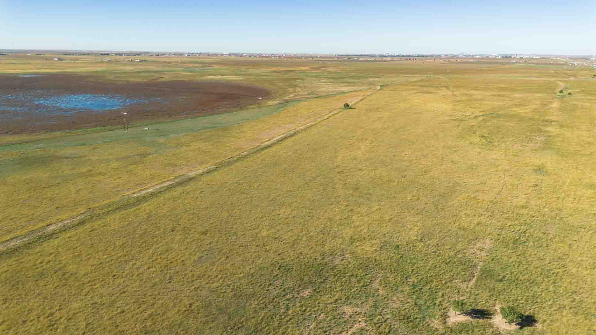
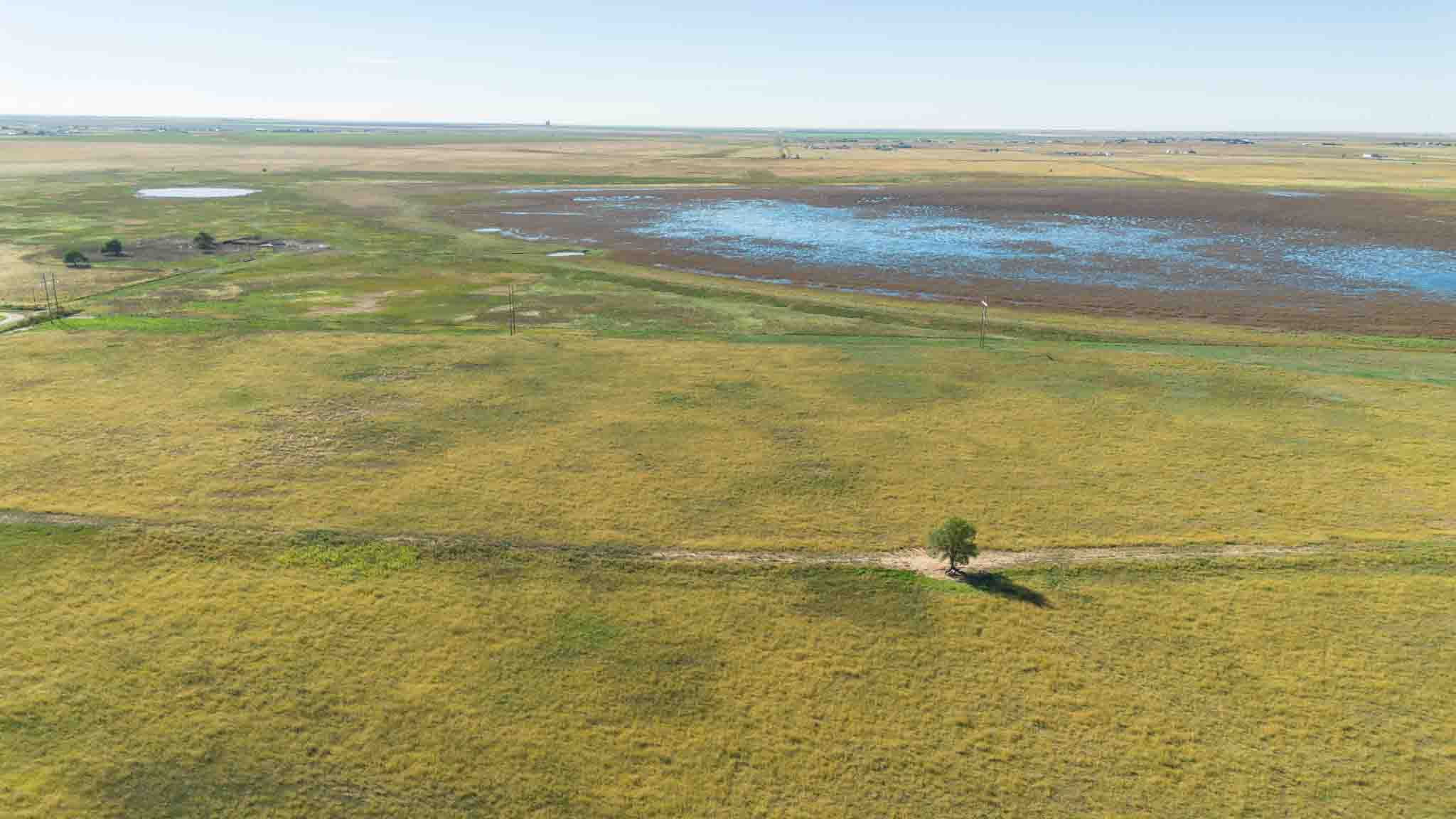
Property Description
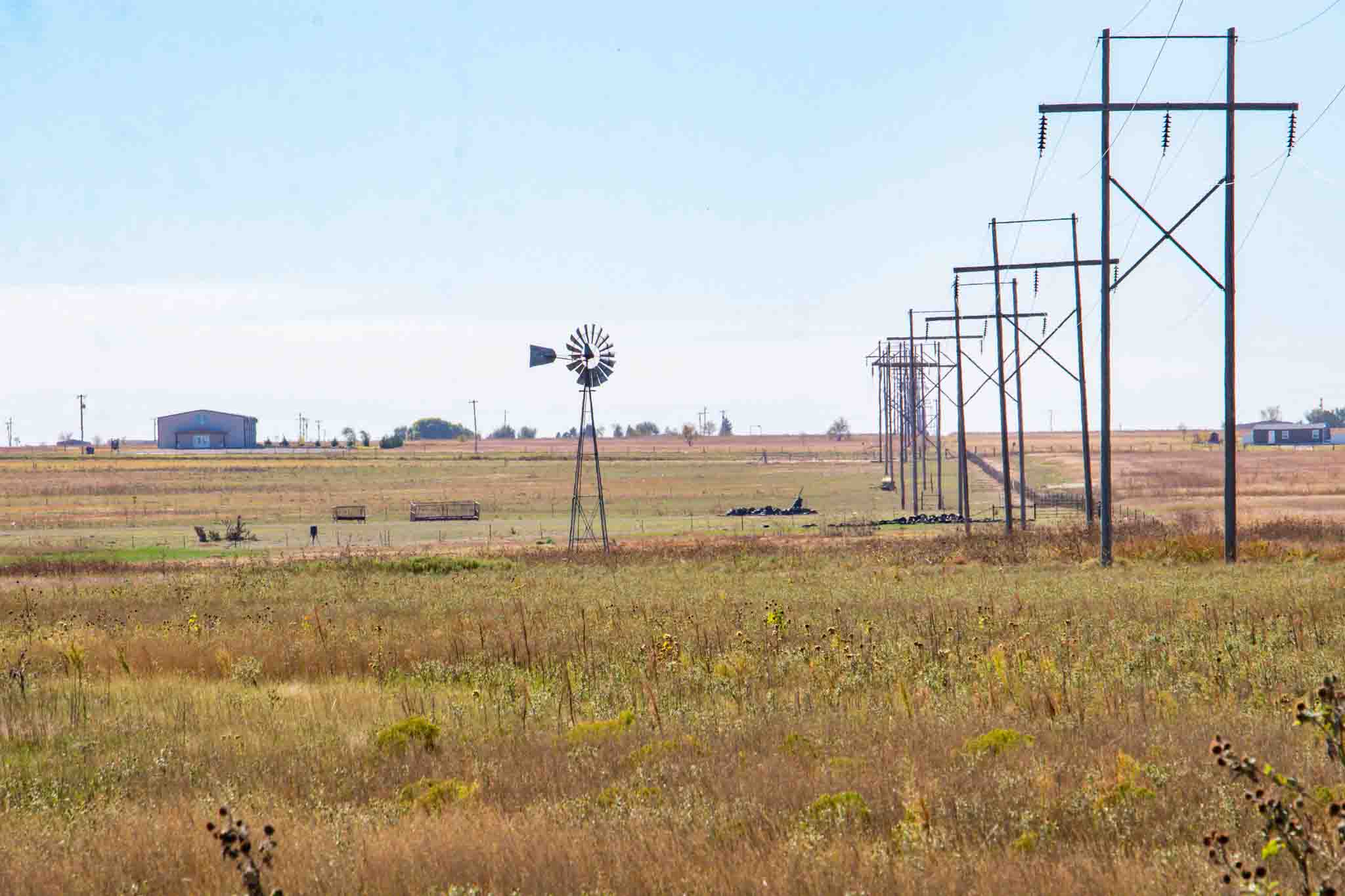
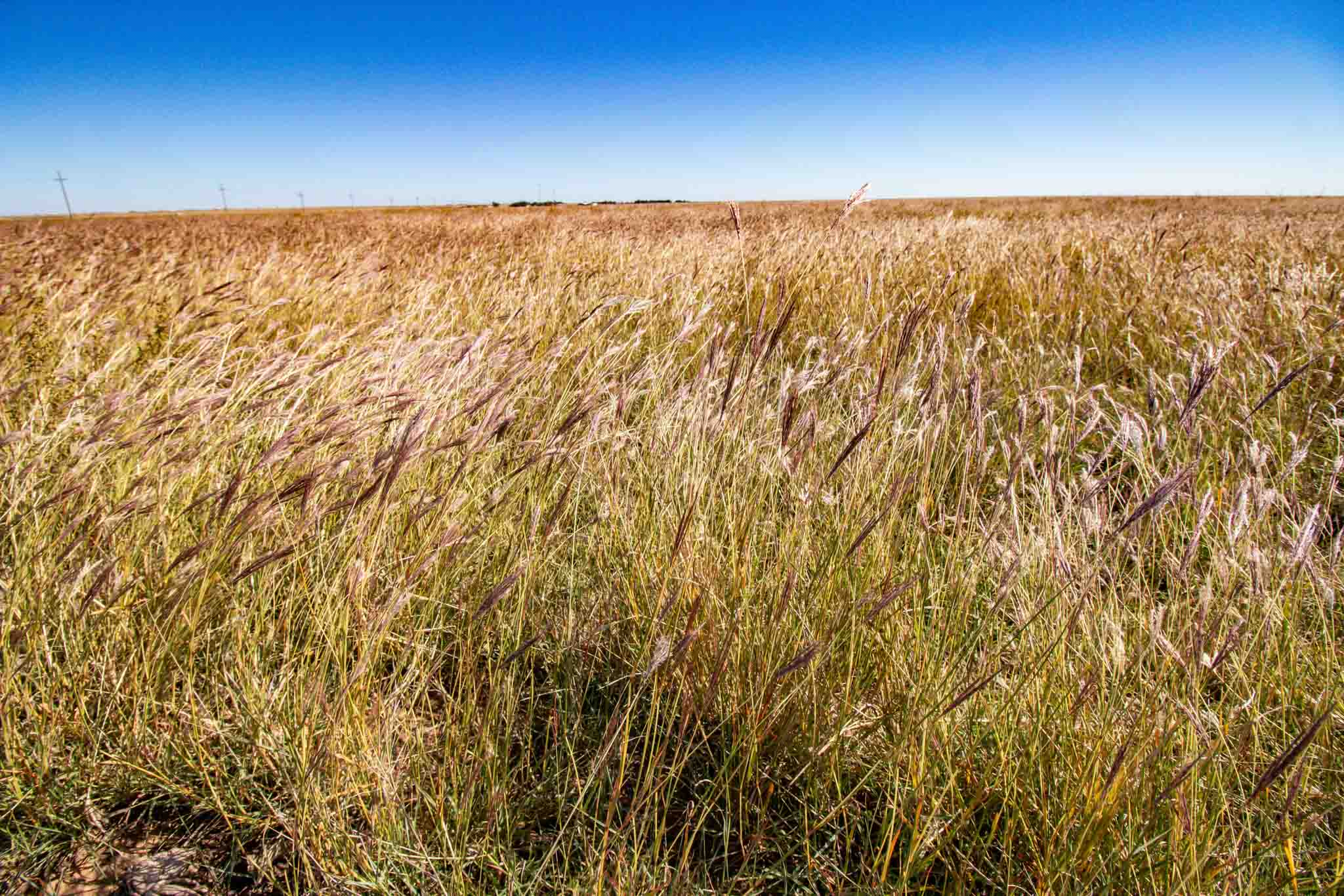
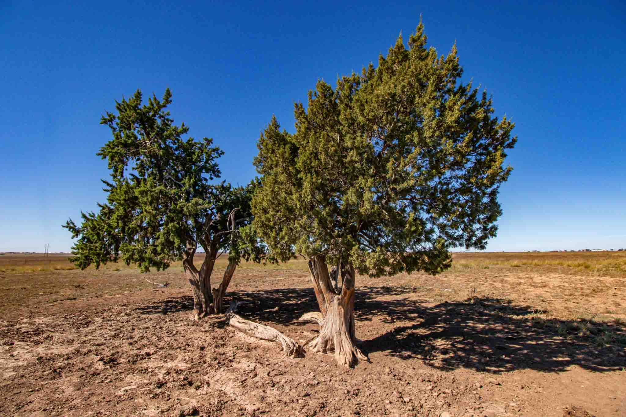
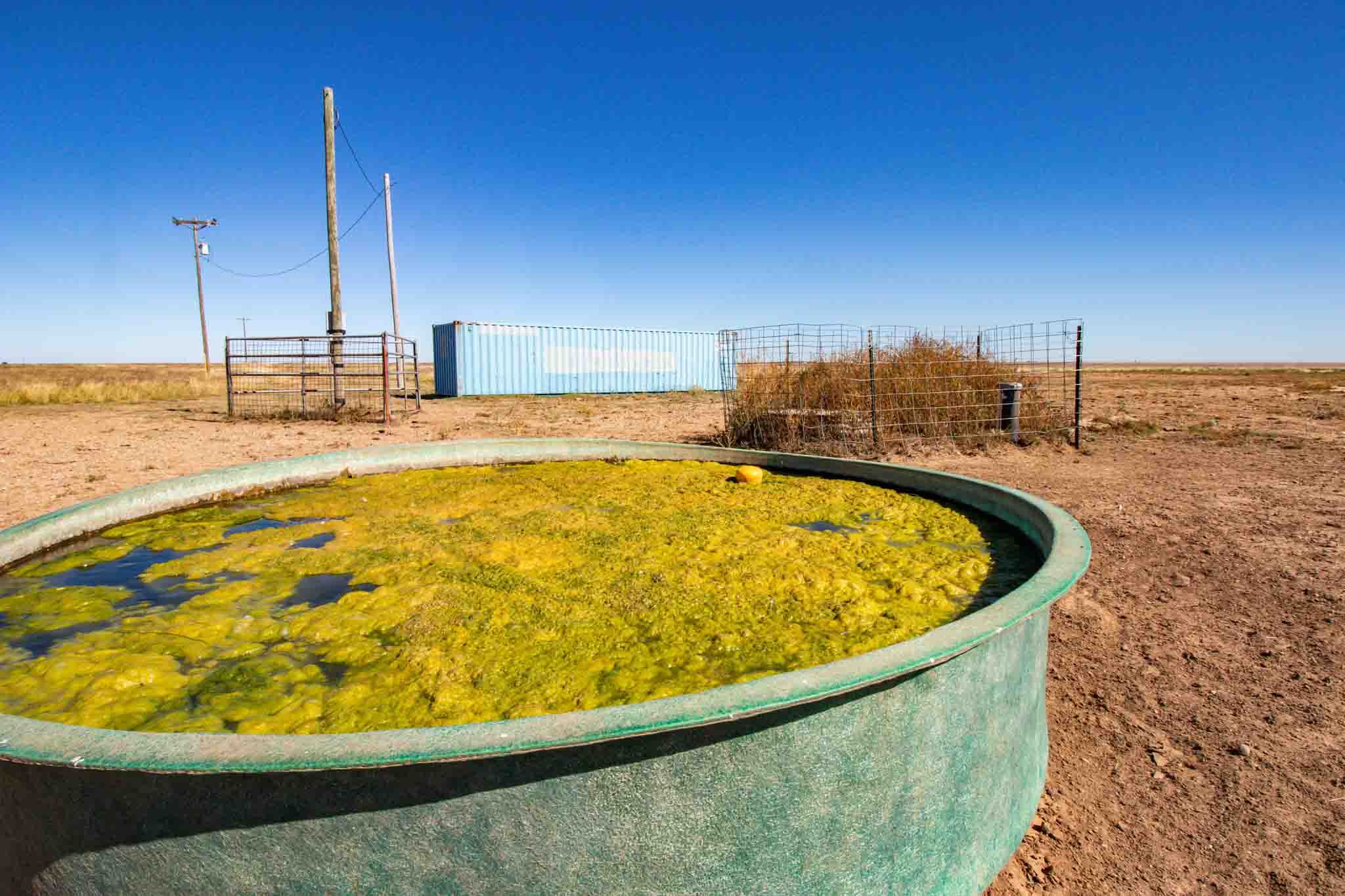
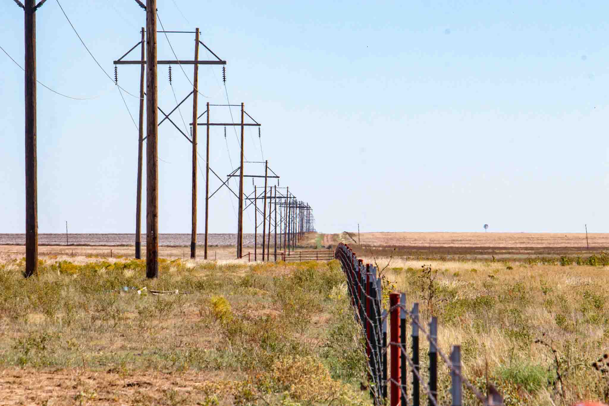
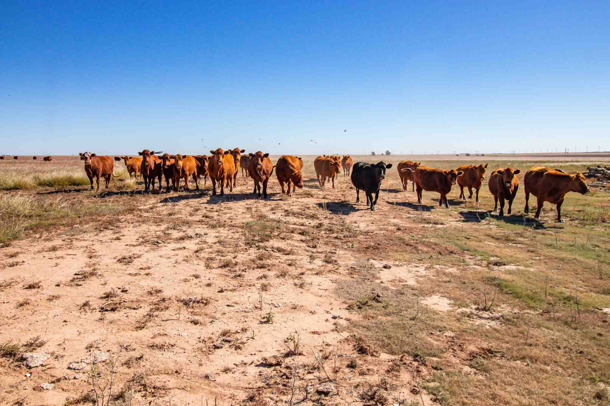
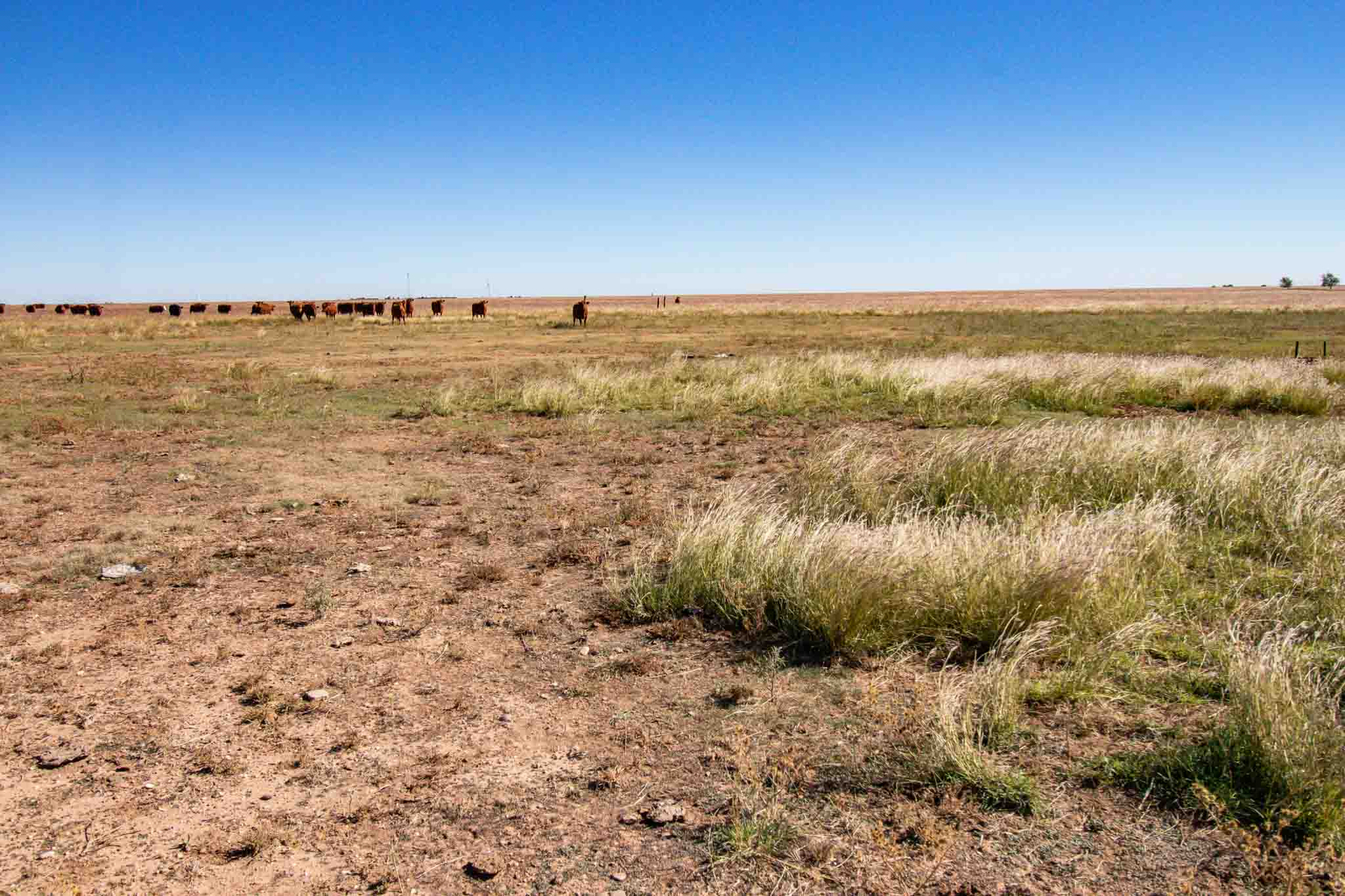
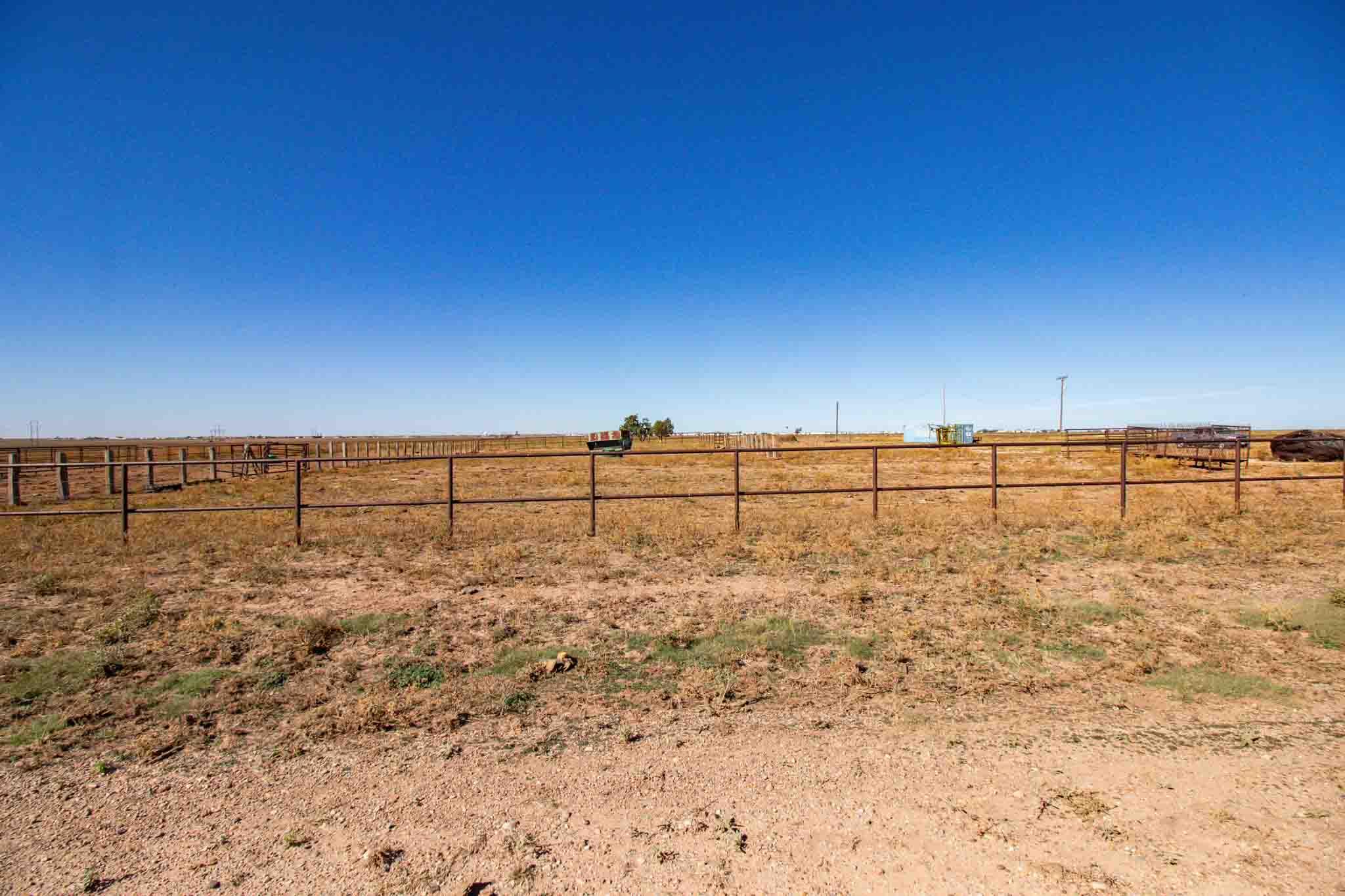
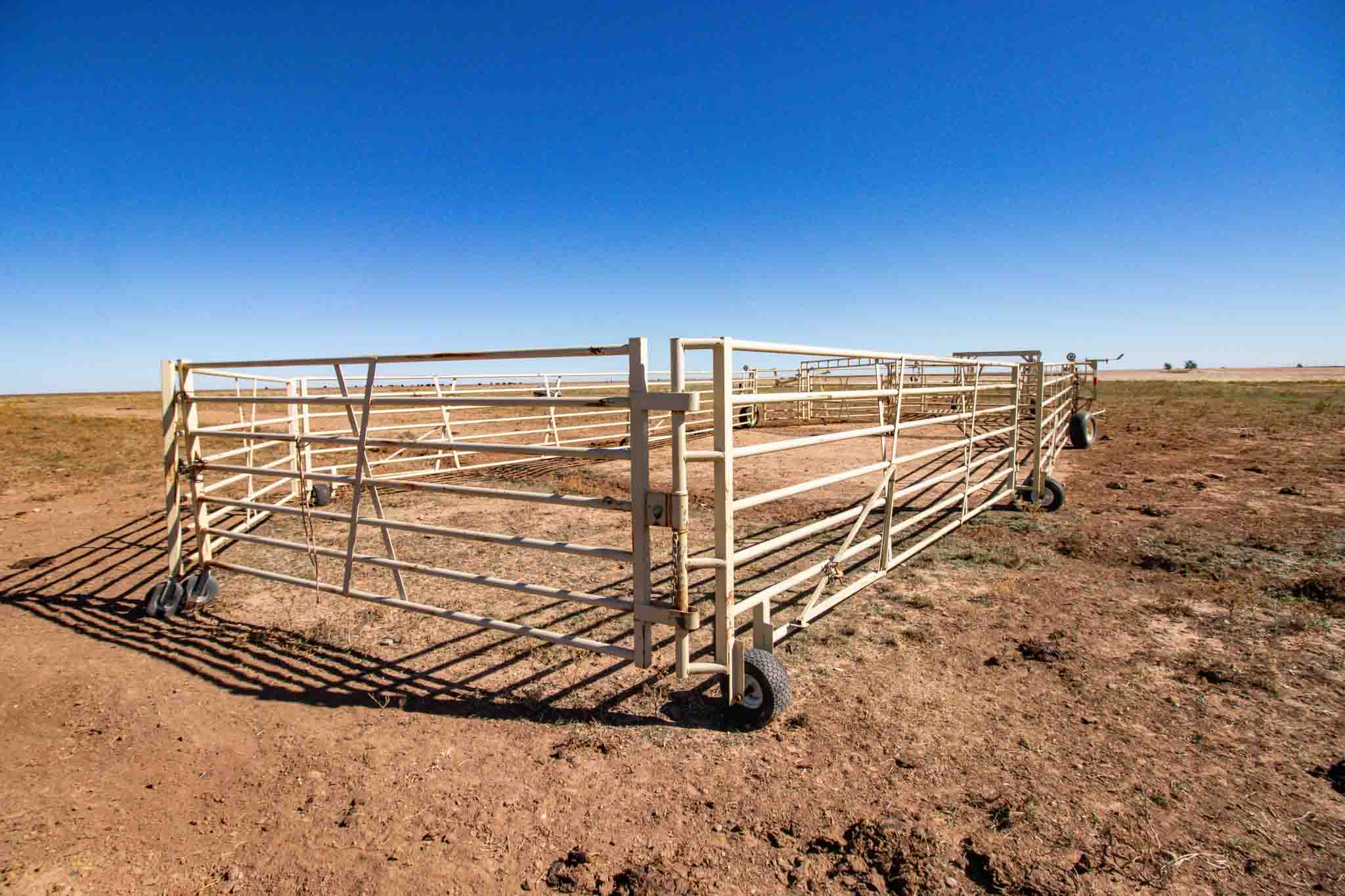
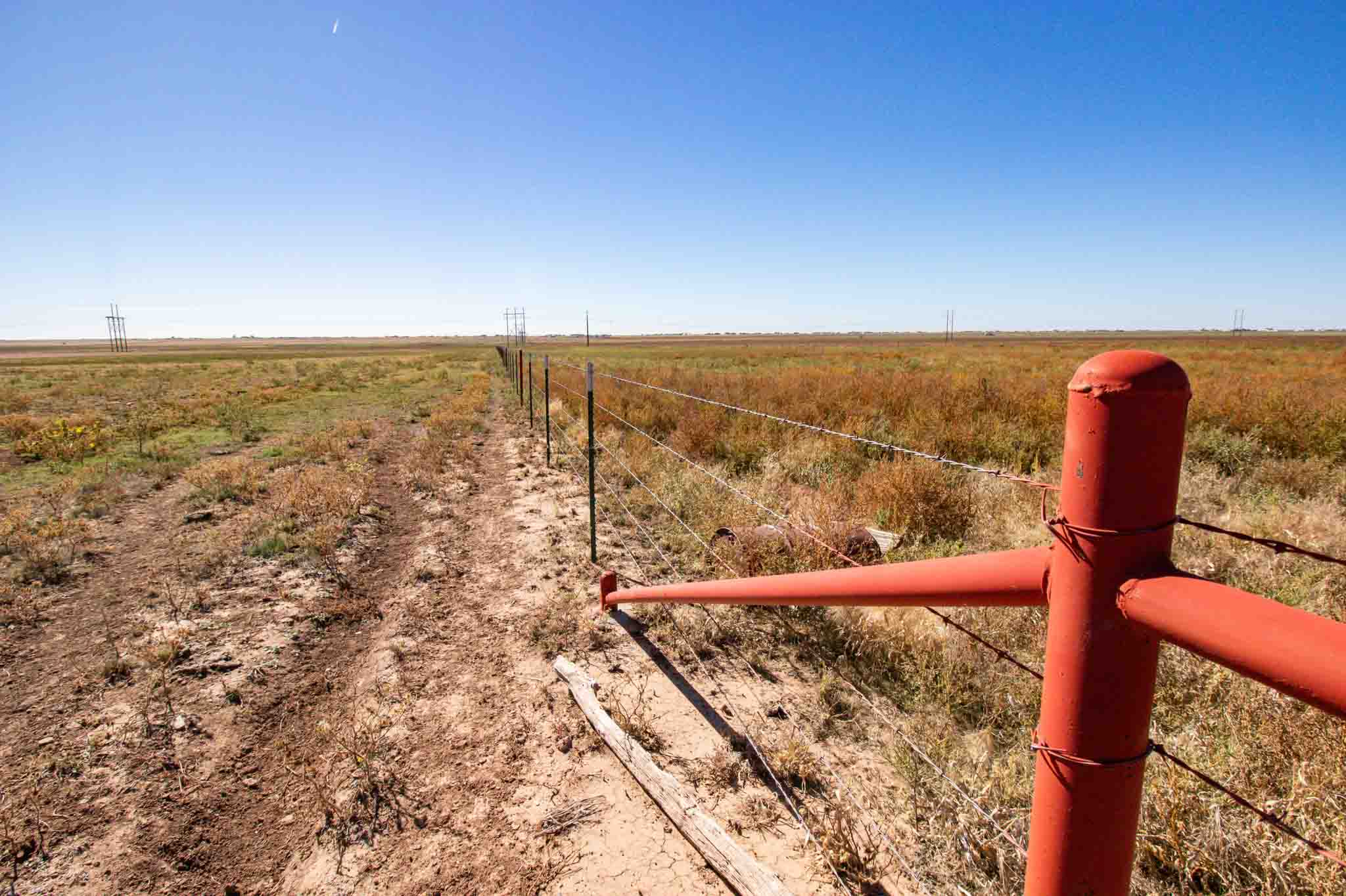
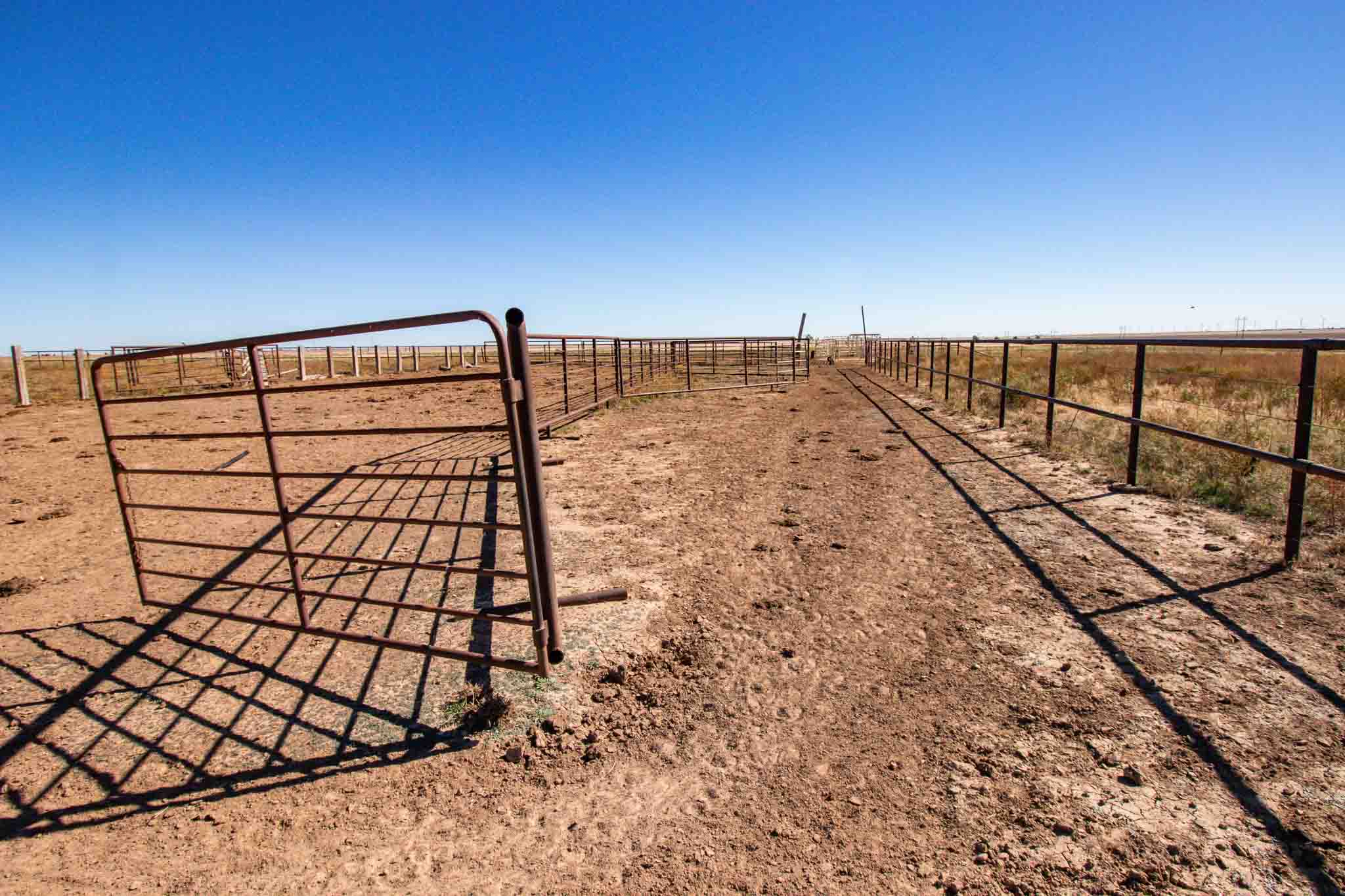
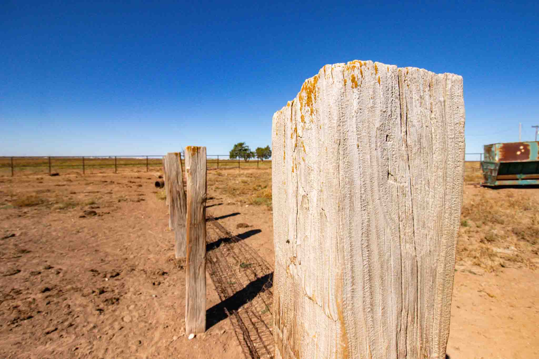
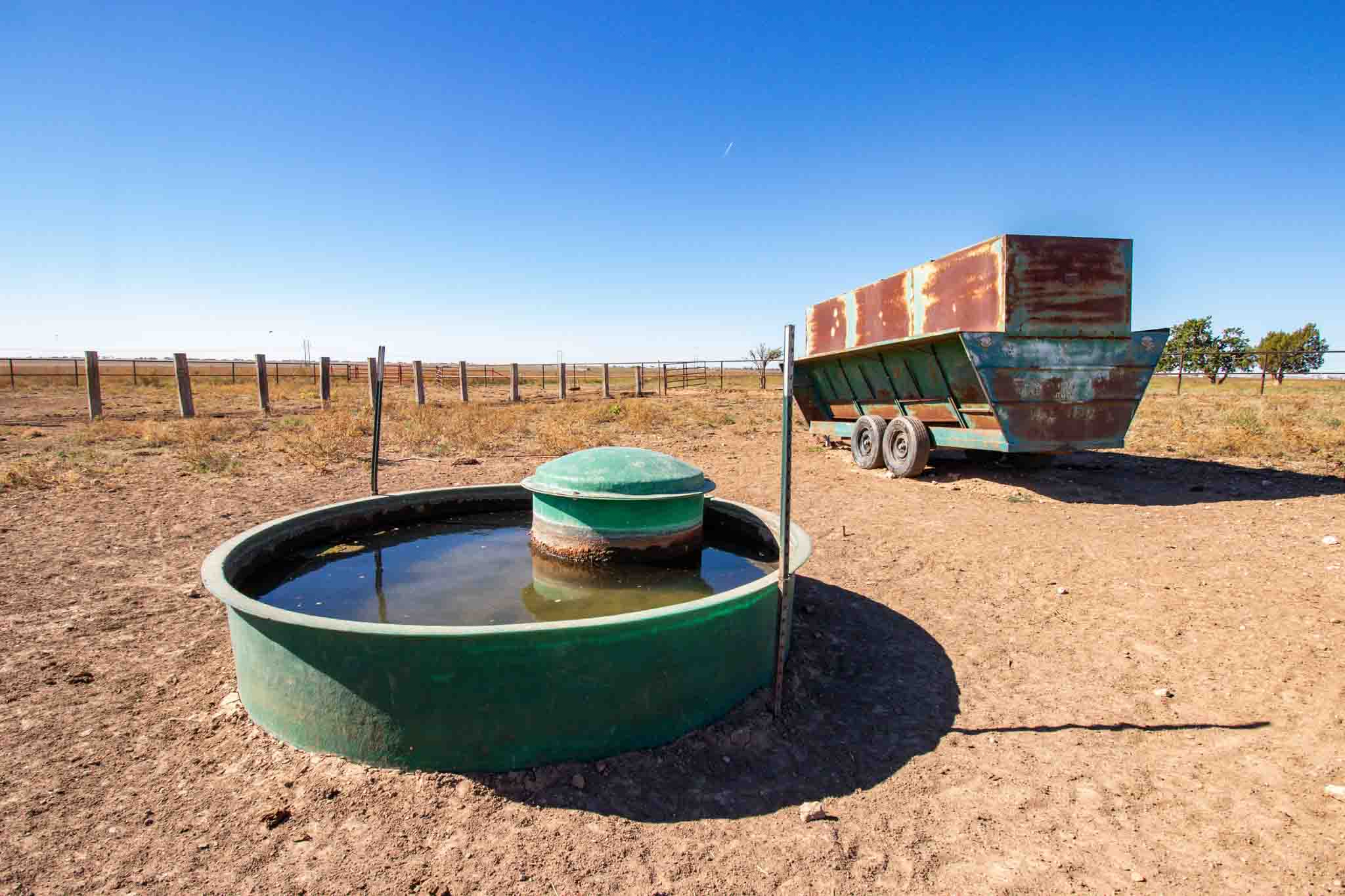
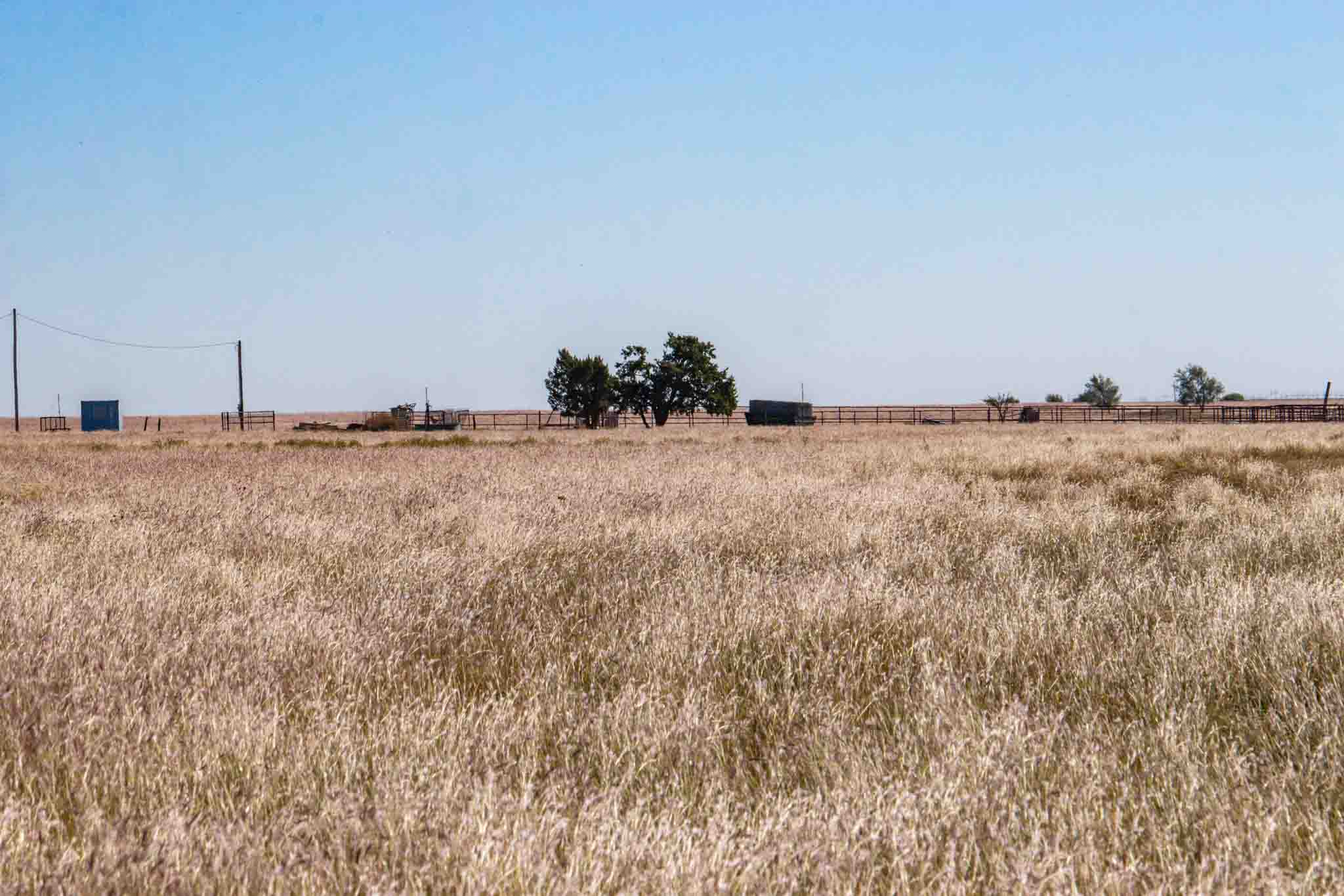
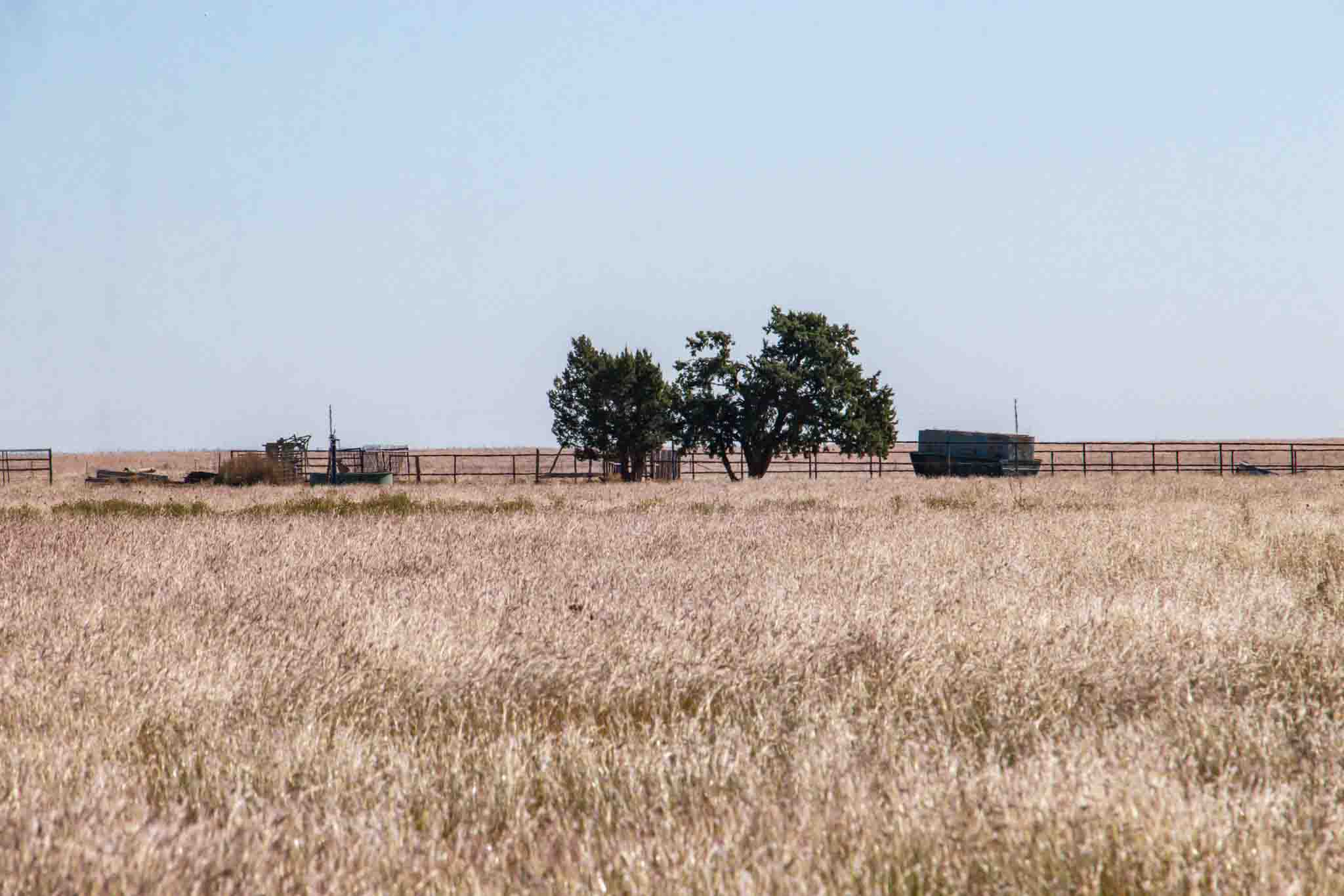
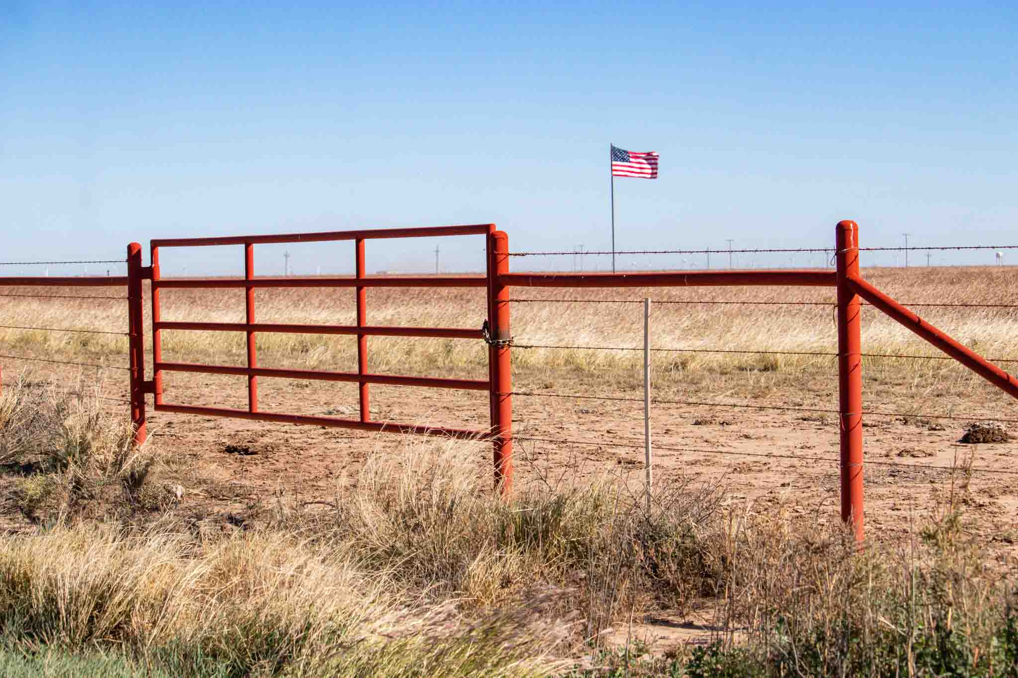
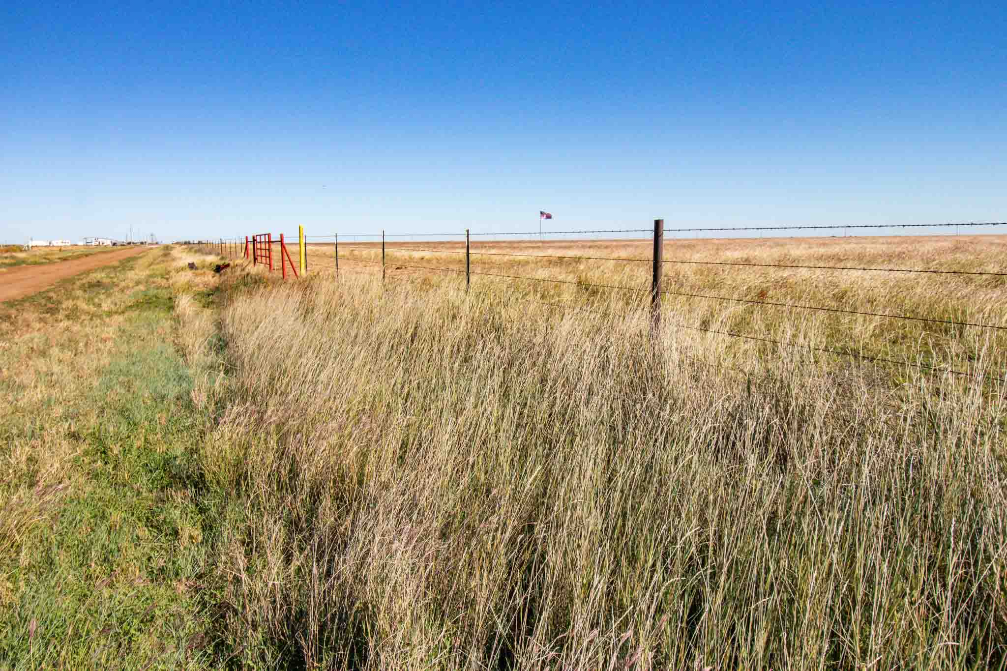
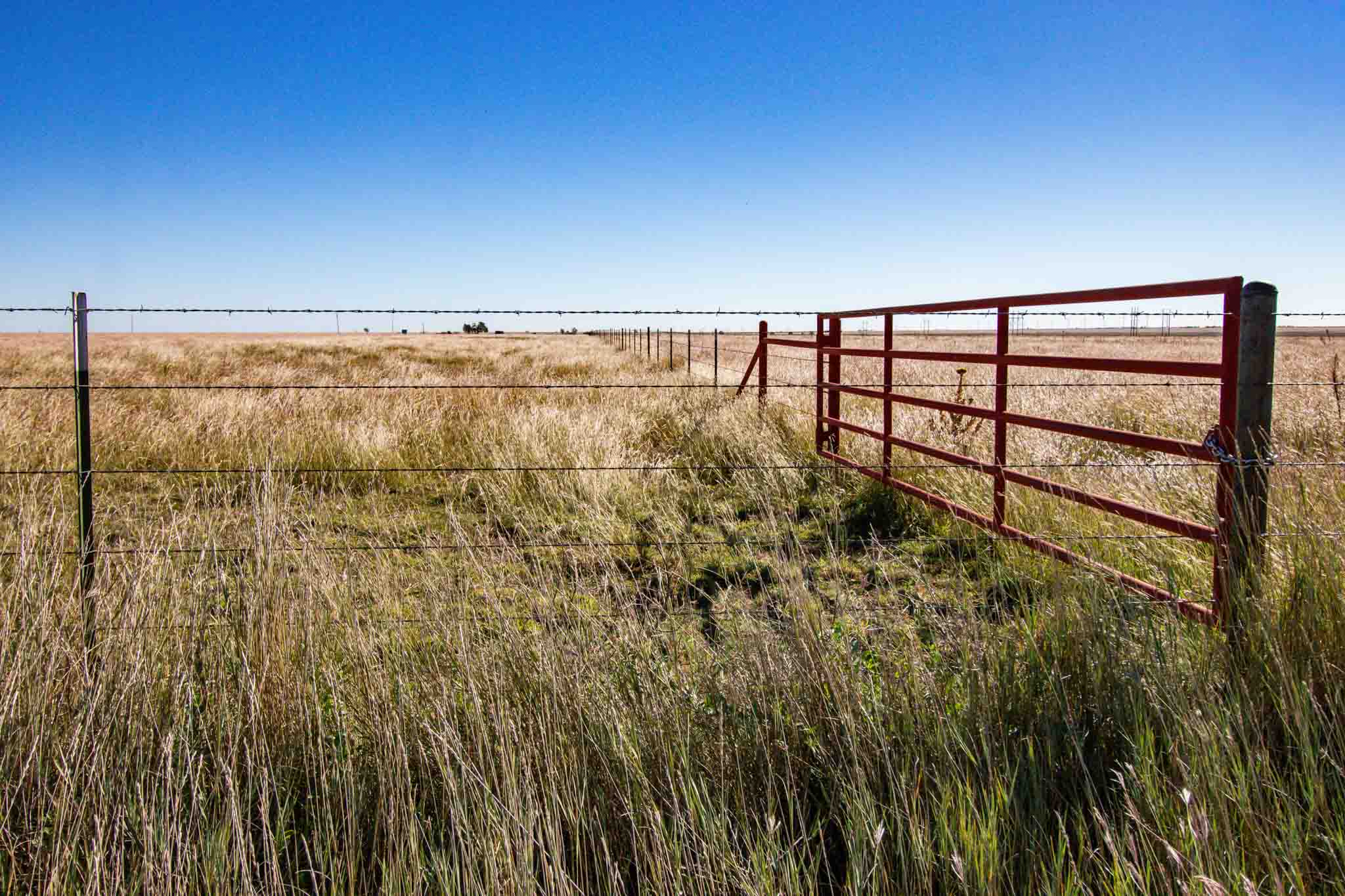
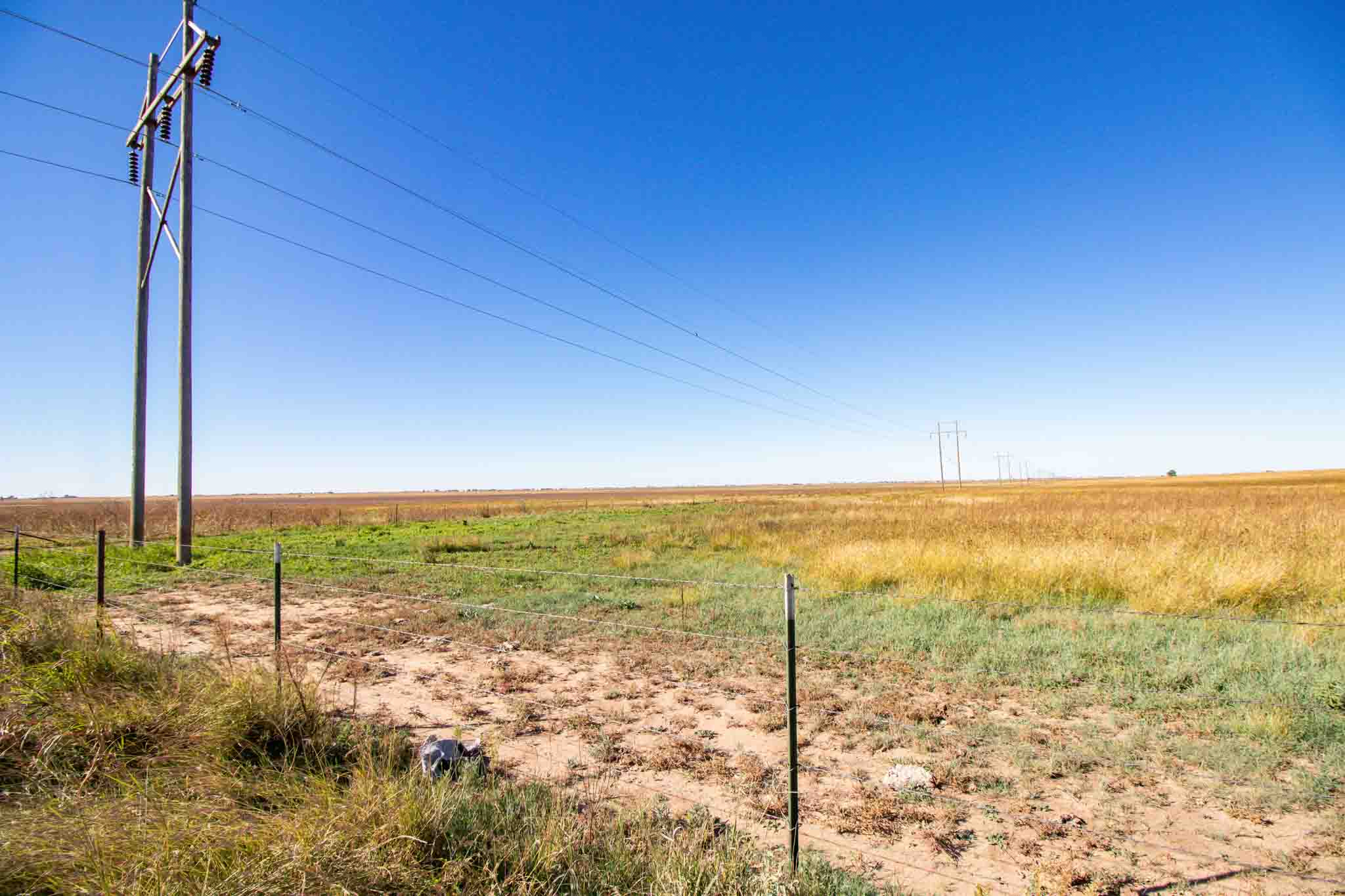
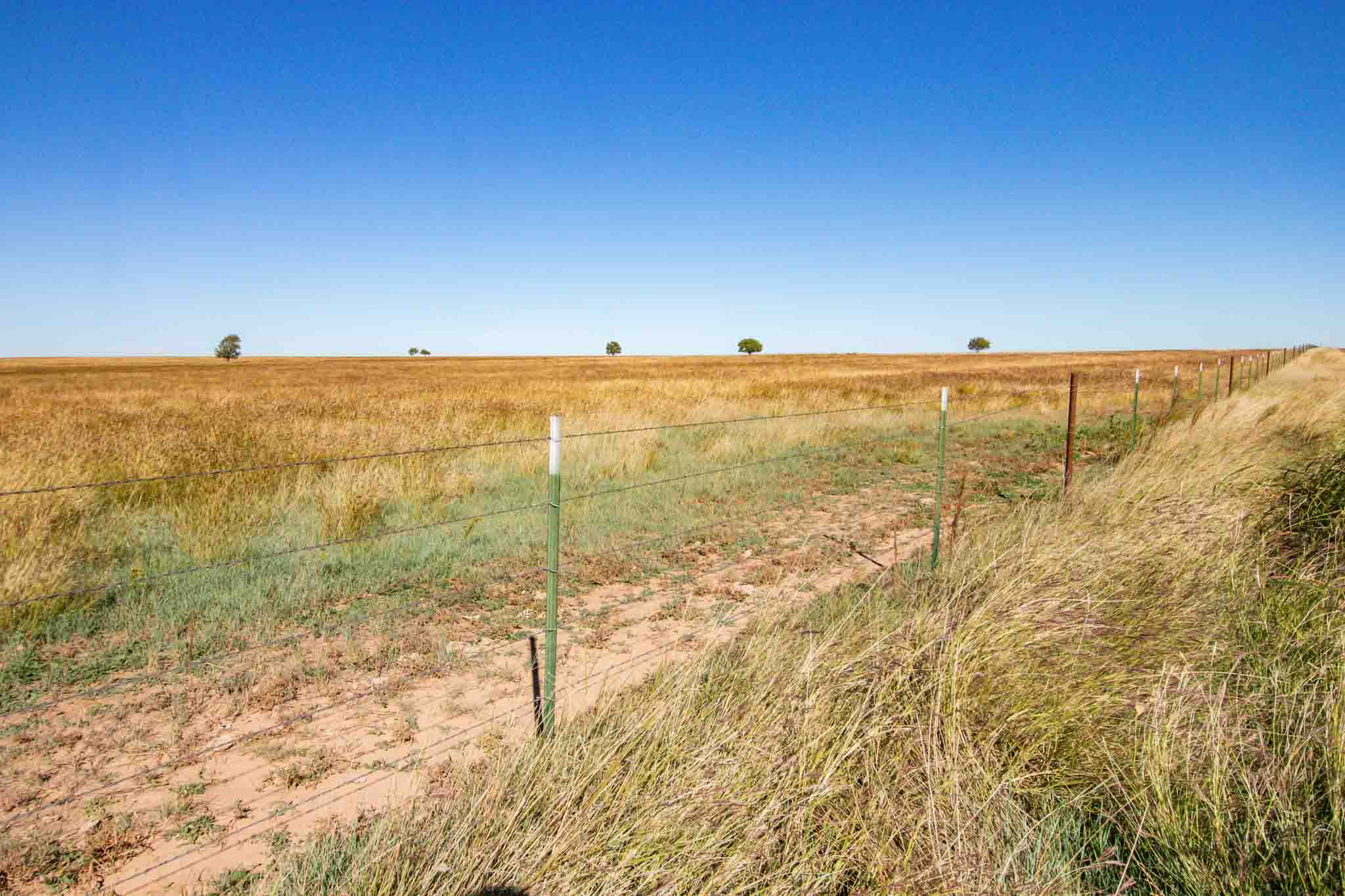
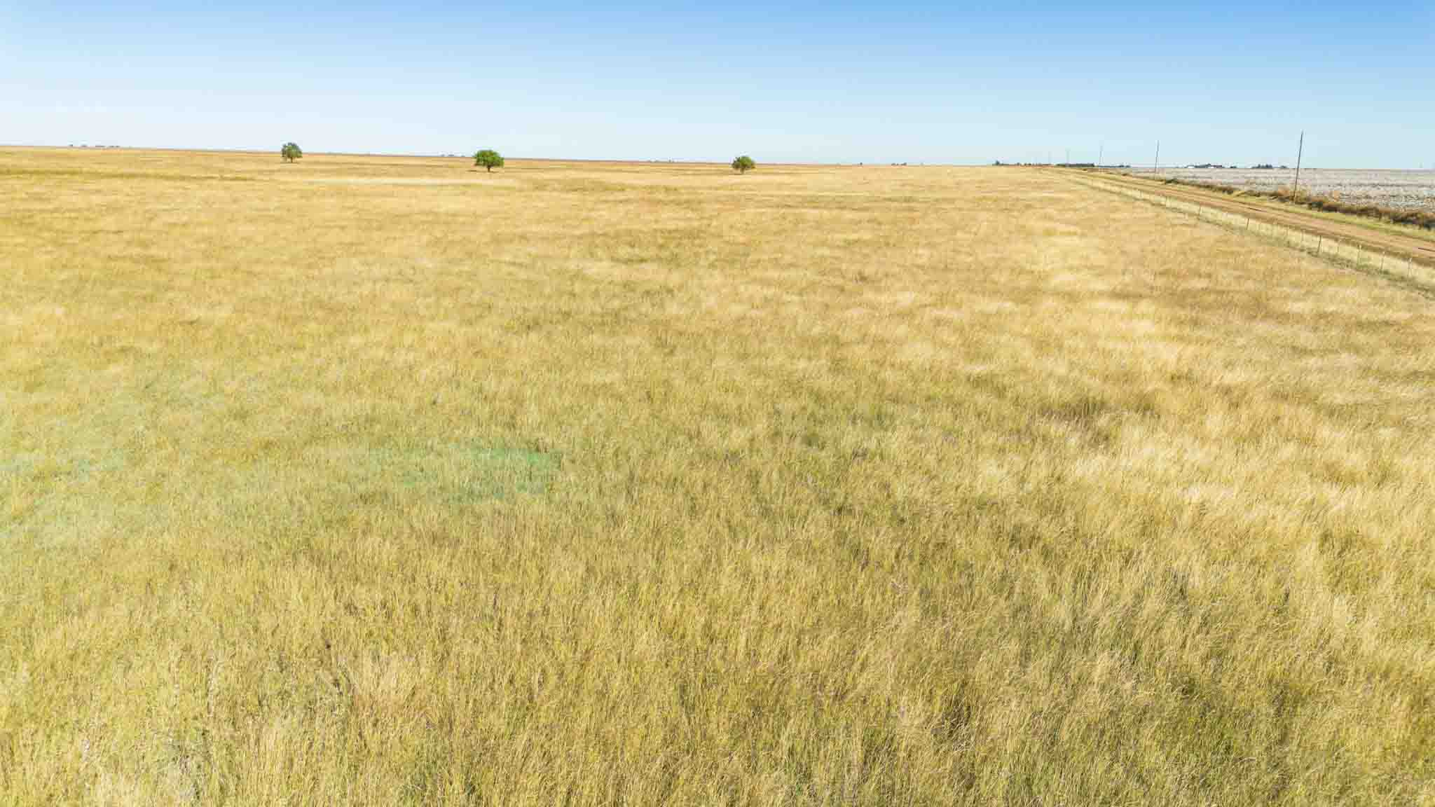
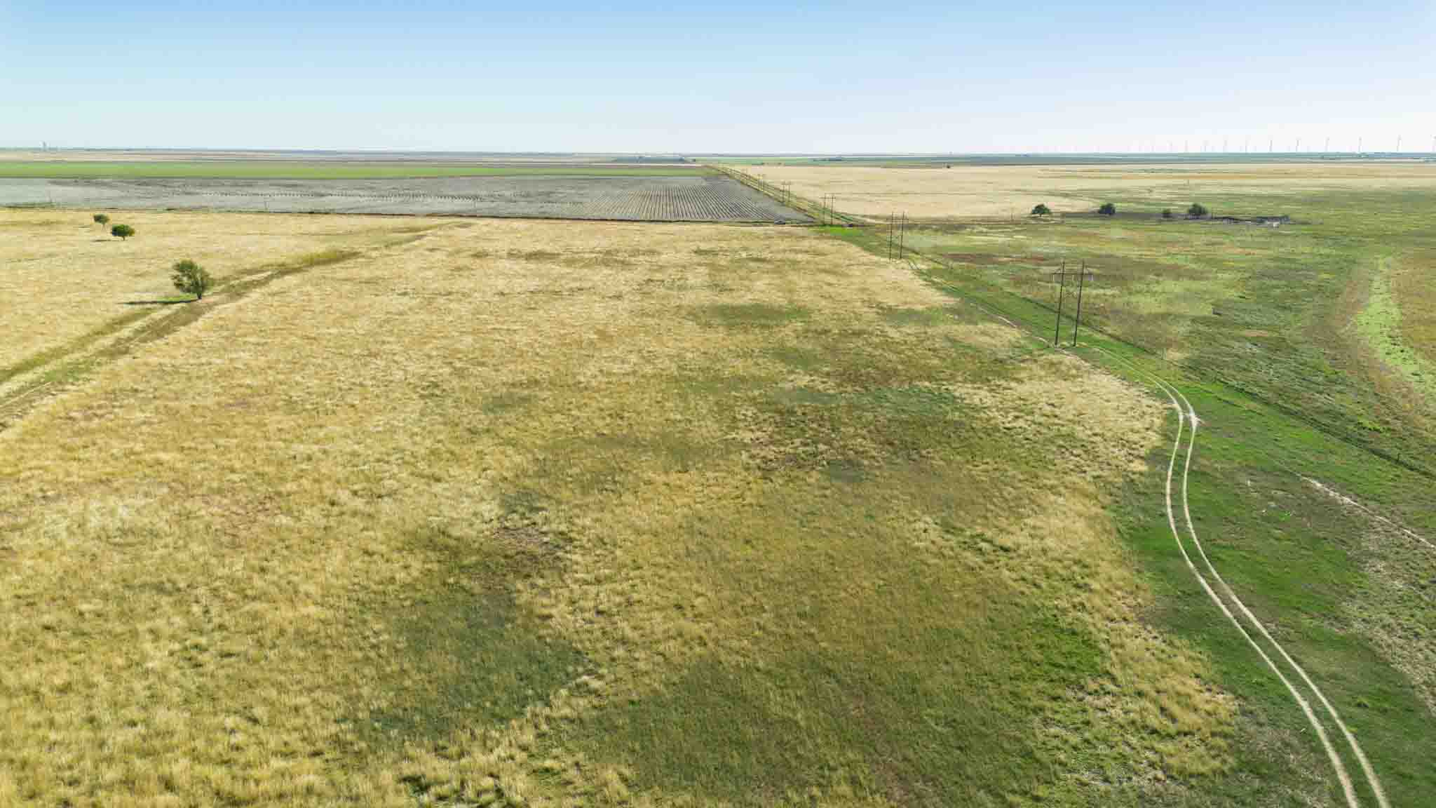
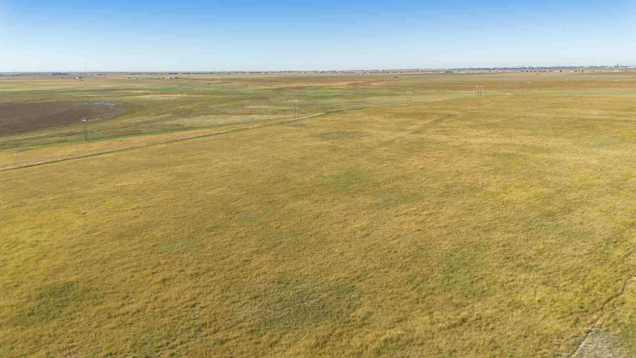
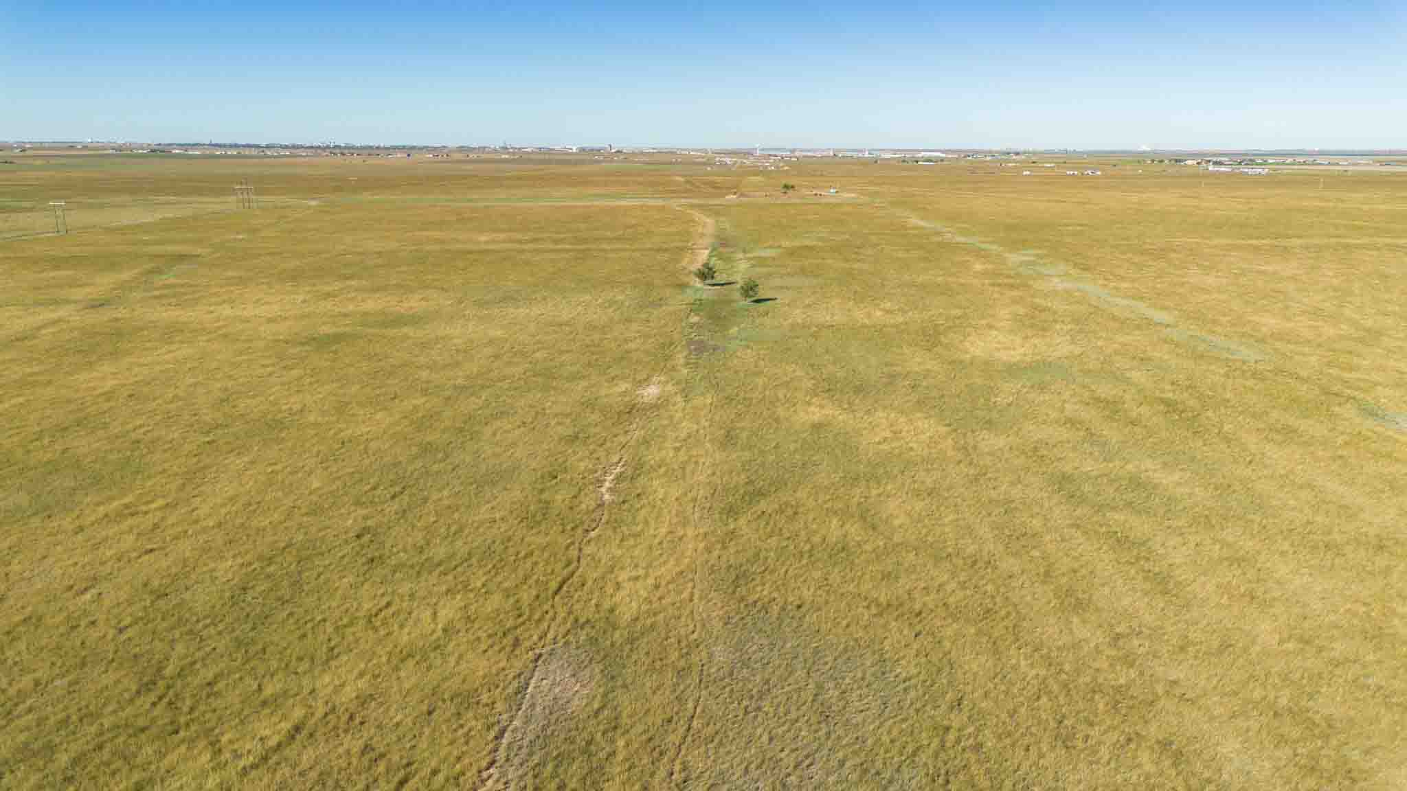
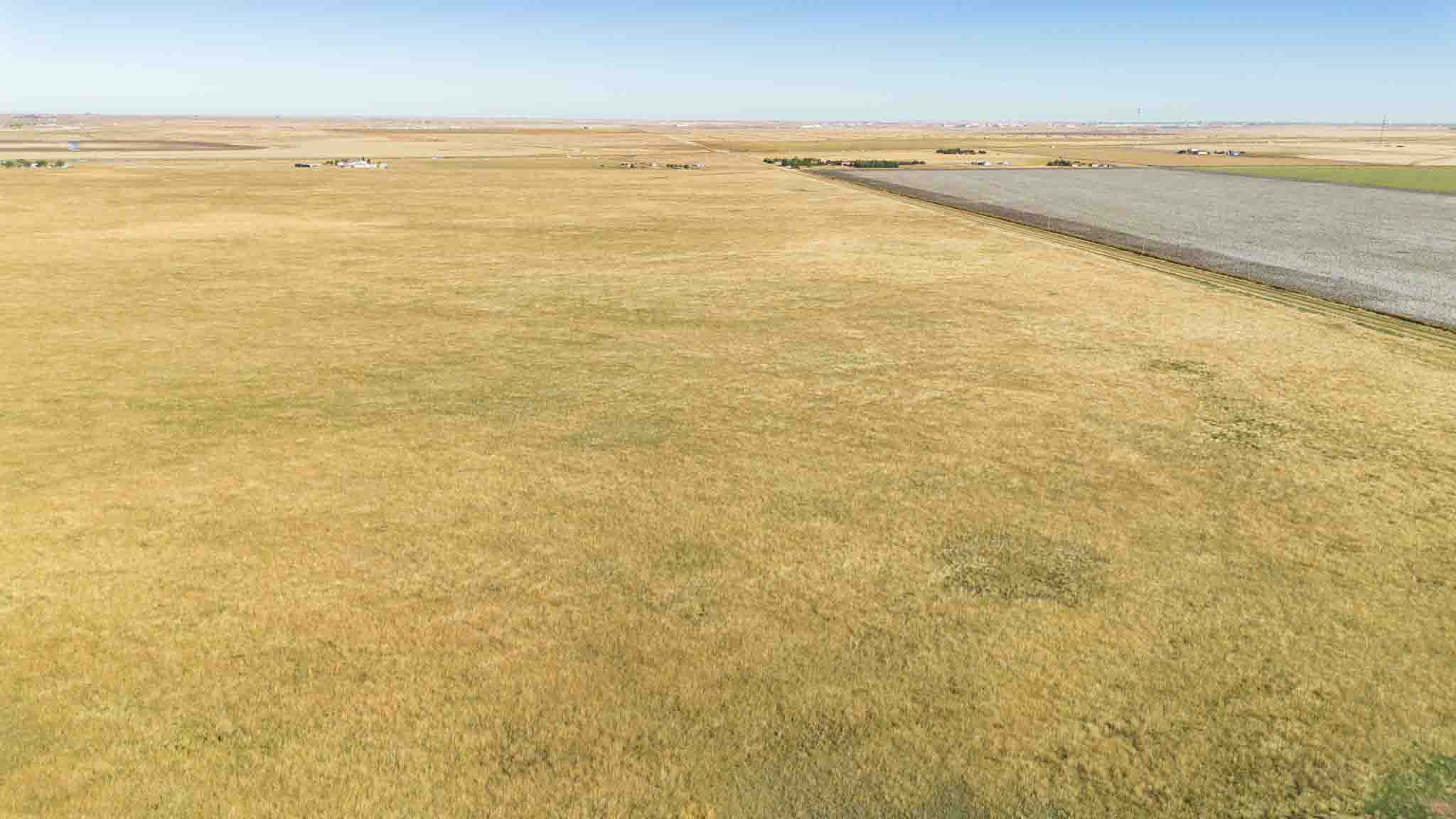
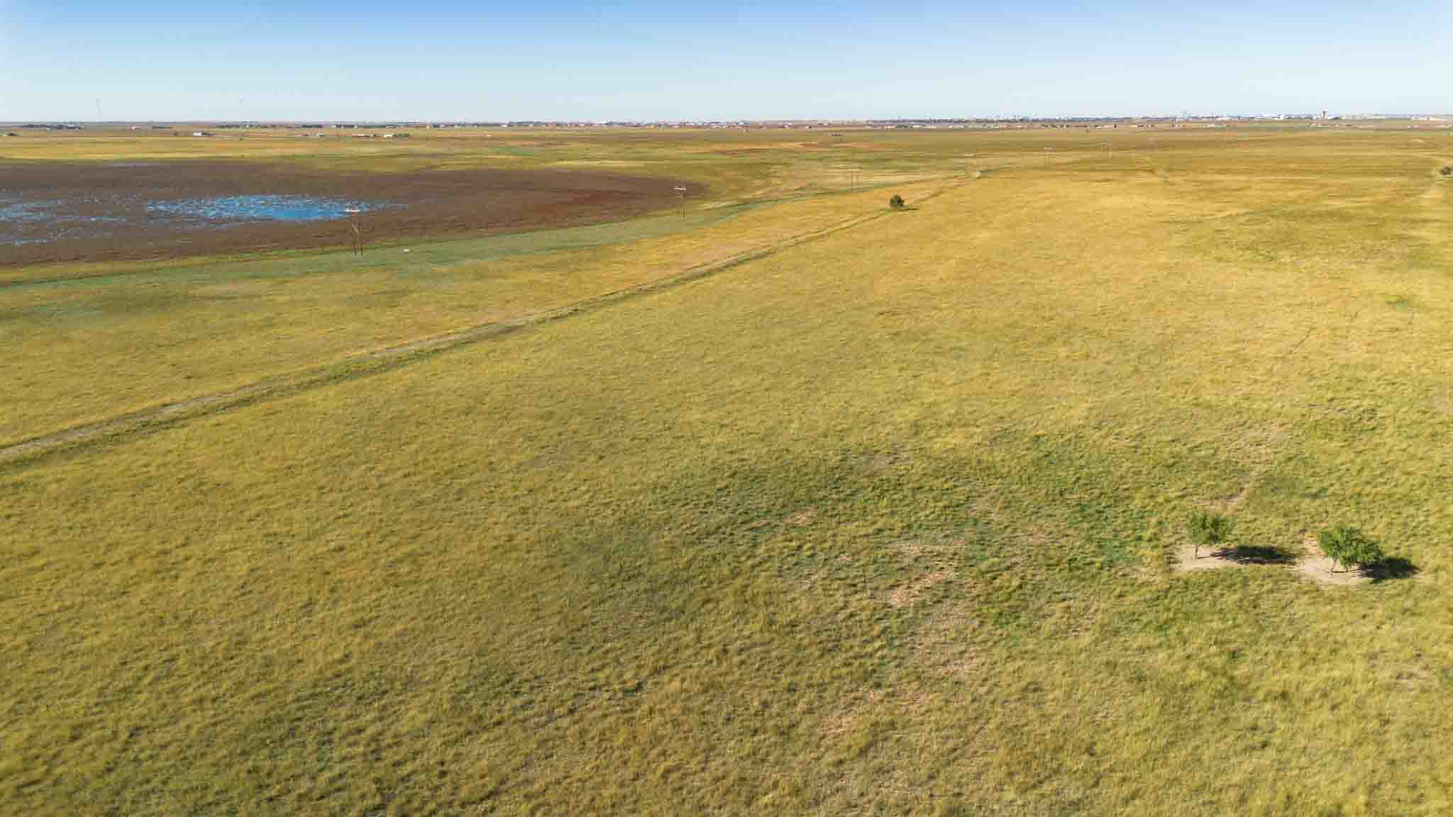
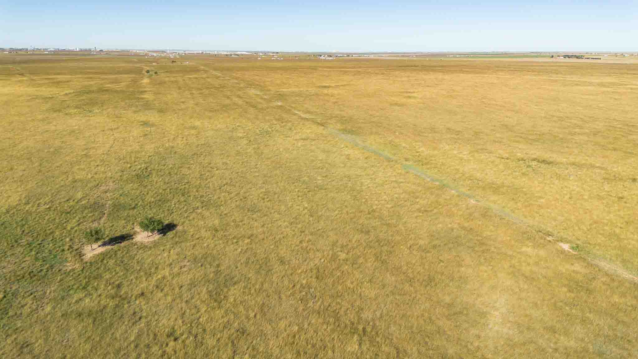
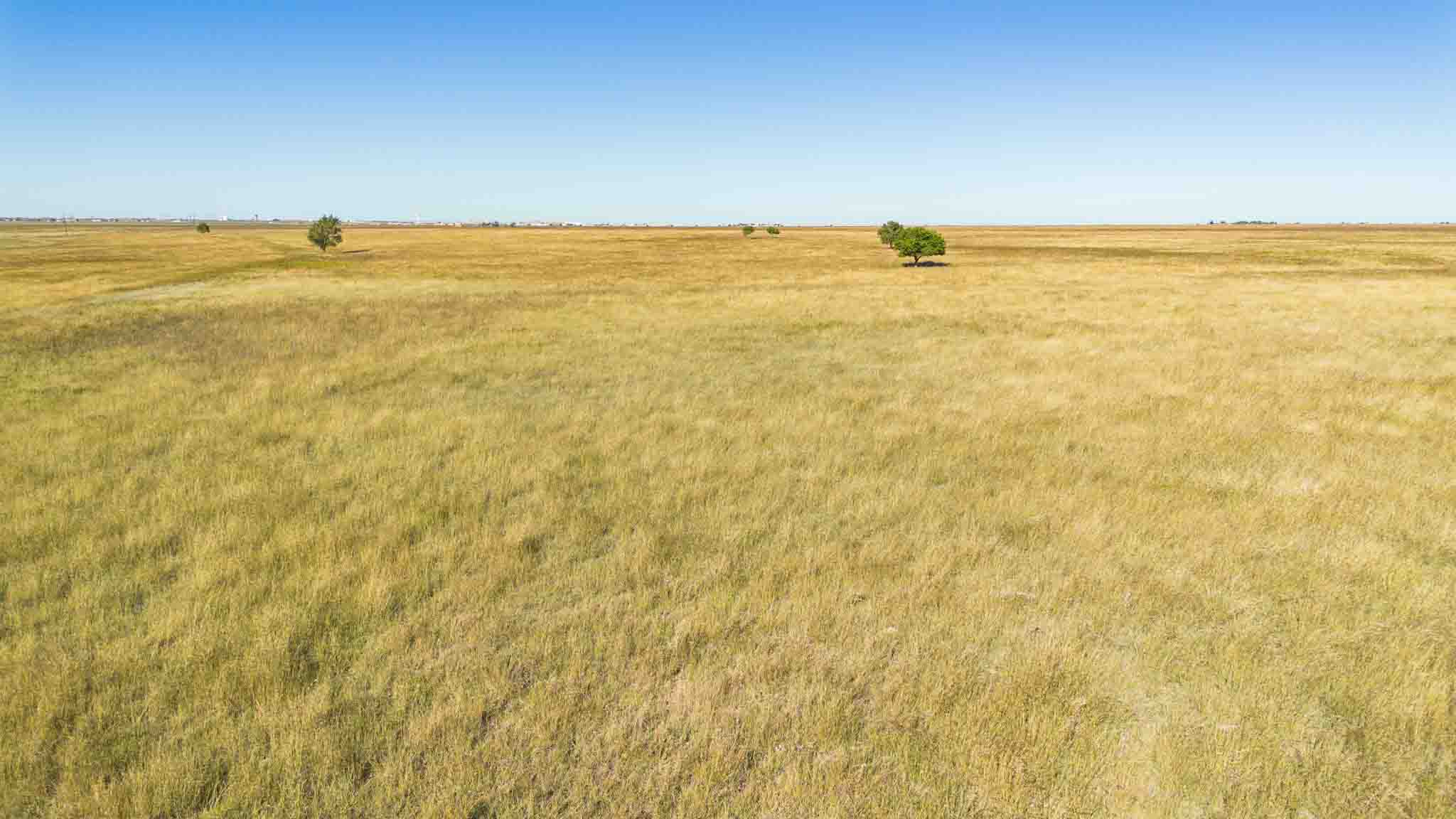
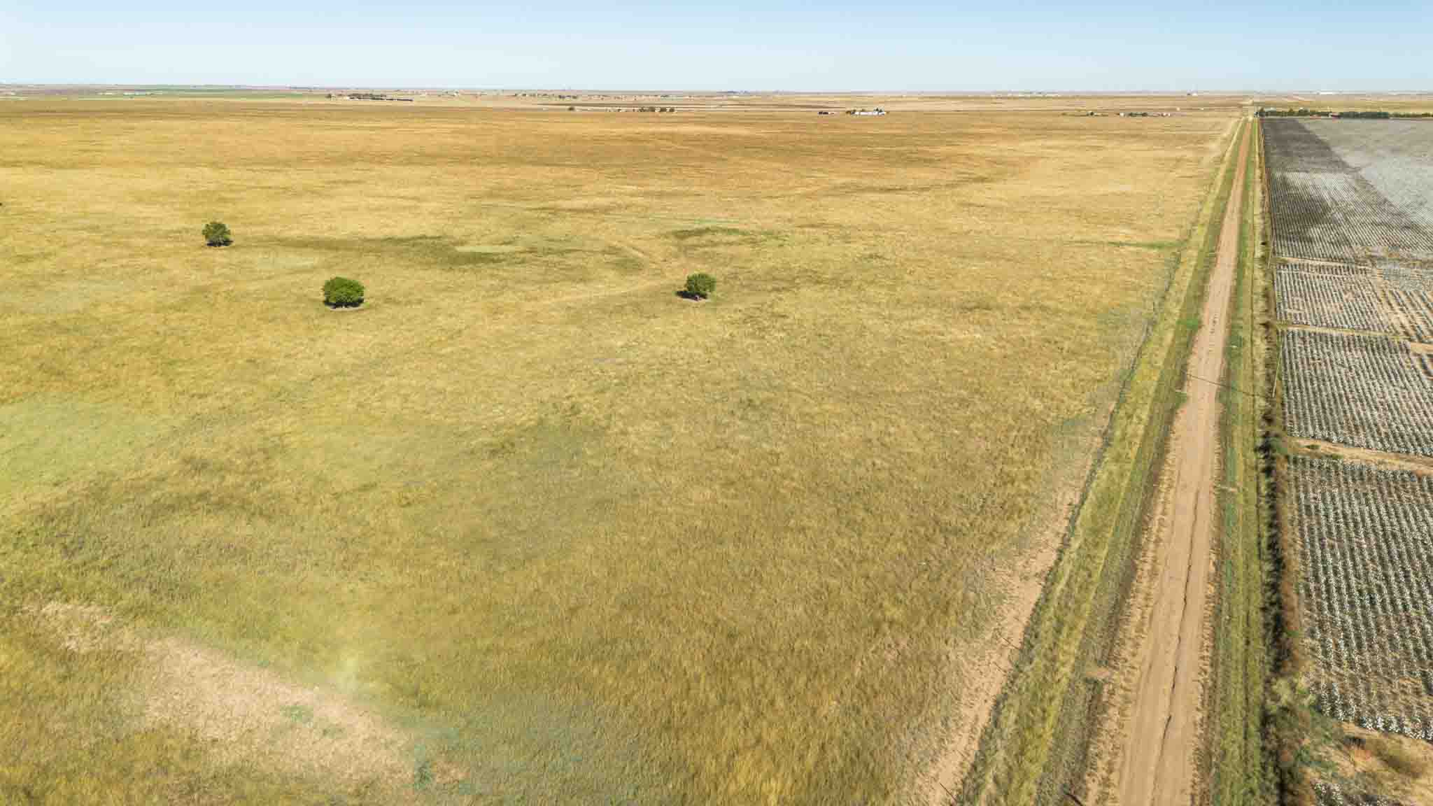
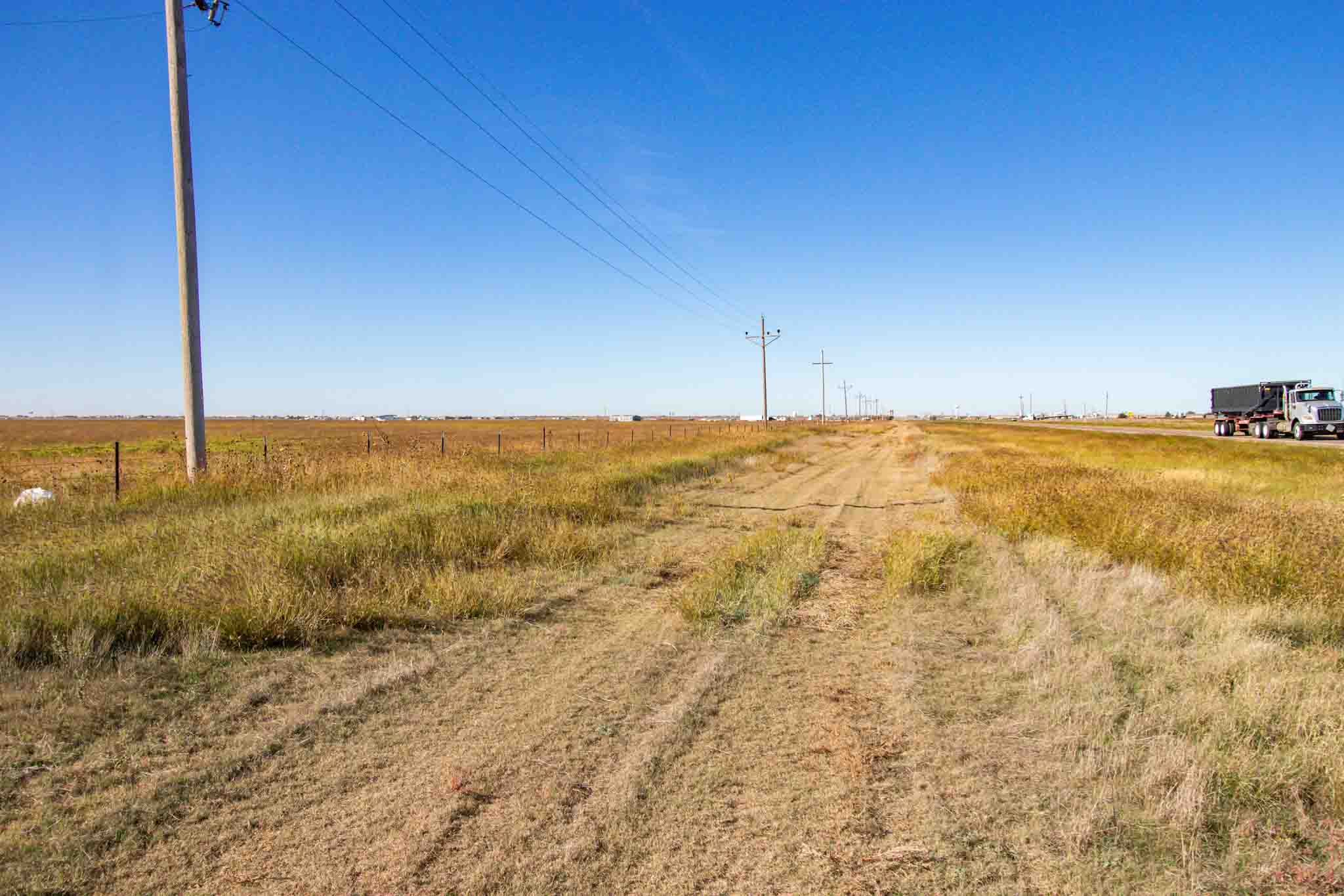
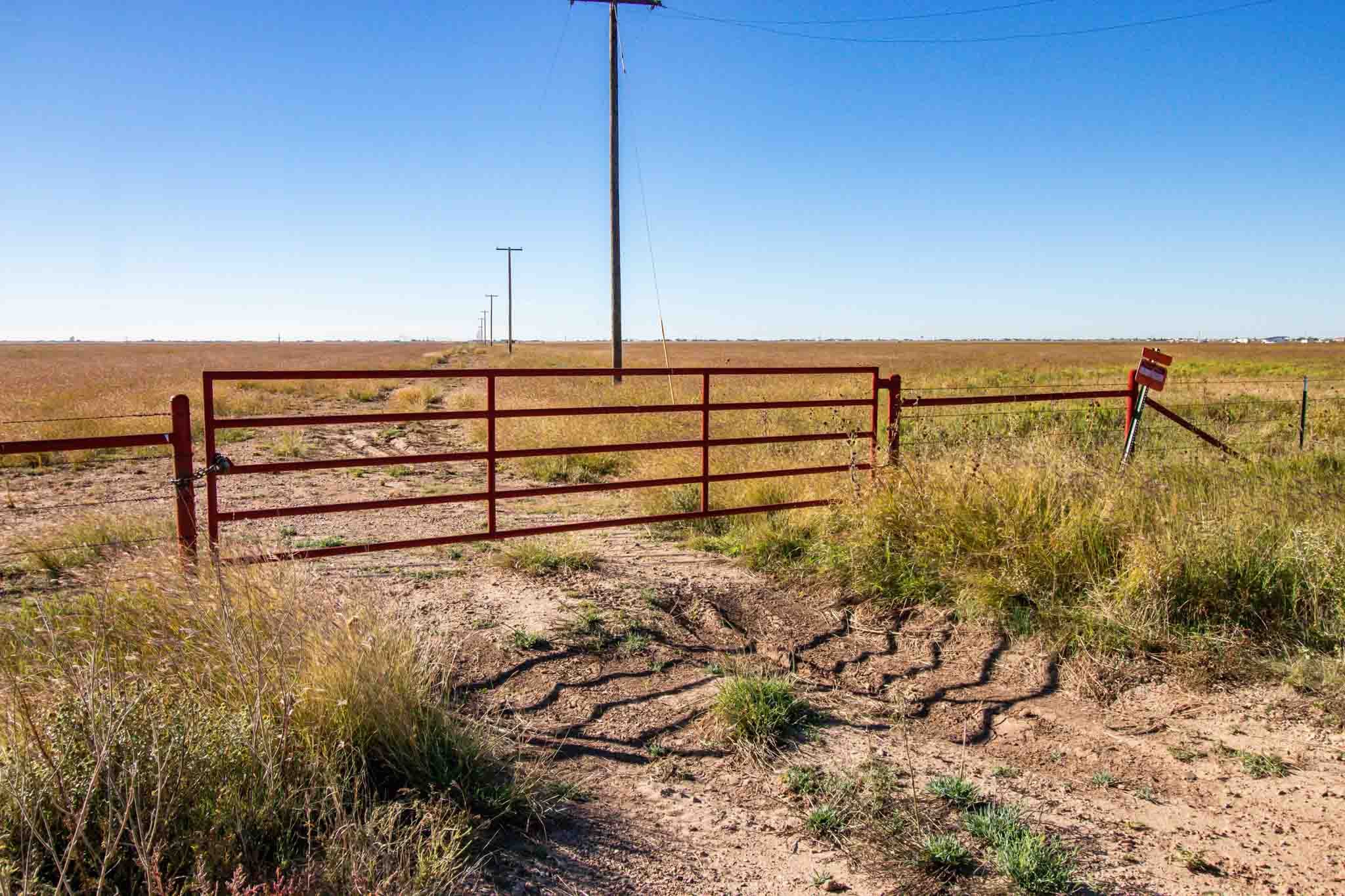
Prime location just 2 miles outside of Amarillo, across from Pantex in southwestern Carson County, this historic property offers a rich agricultural legacy and excellent accessibility from Highway 60, Route 66, and multiple county roads. Originally established as a dryland farm, the land has supported wheat crops, cattle grazing, and, most recently, continued use for livestock after the CRP program expired in 2020. The property includes perimeter and cross-fencing, several livestock waters, a small set of pens, and a submersible well near the center. Its gently rolling landscape of native grasses is anchored by productive Pullman and Estacado clay loam soils, well-suited for grazing or future development.±
Located on the south side of Hwy. 60 across from Pantex and just east of Amarillo City Limits.
See Property Photos
See Map Photos


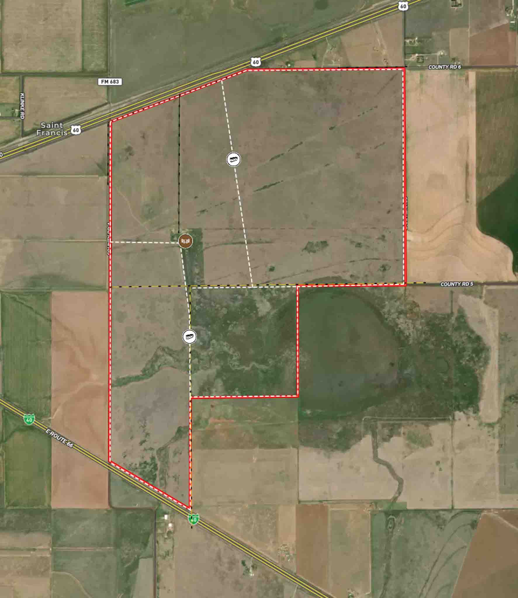
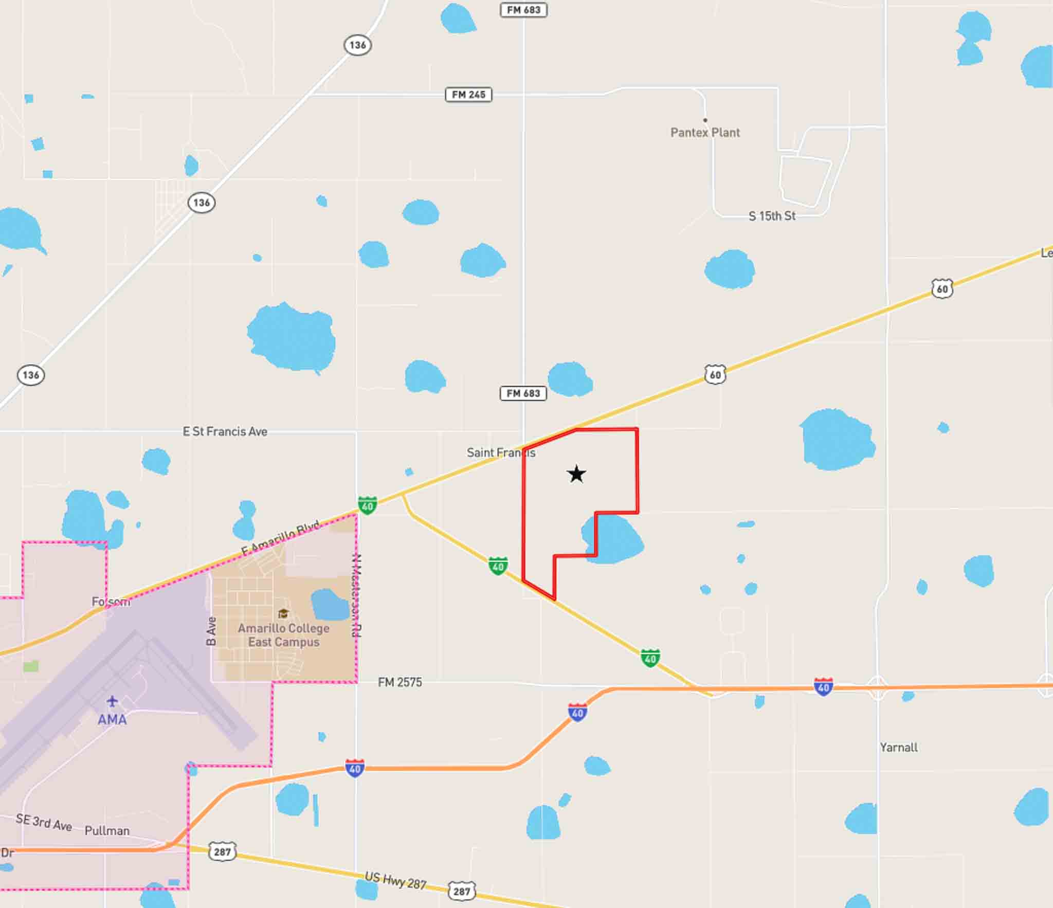
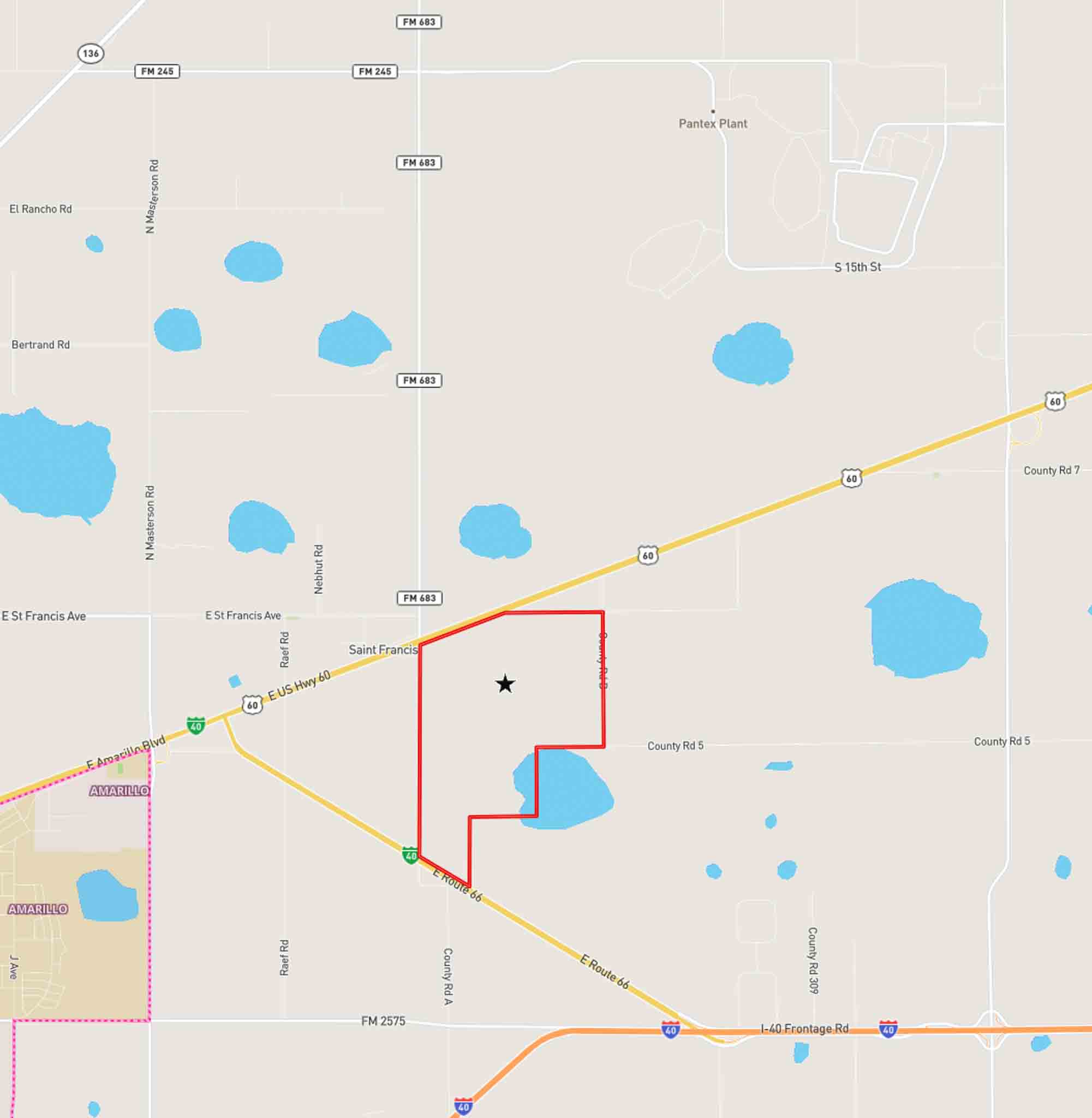
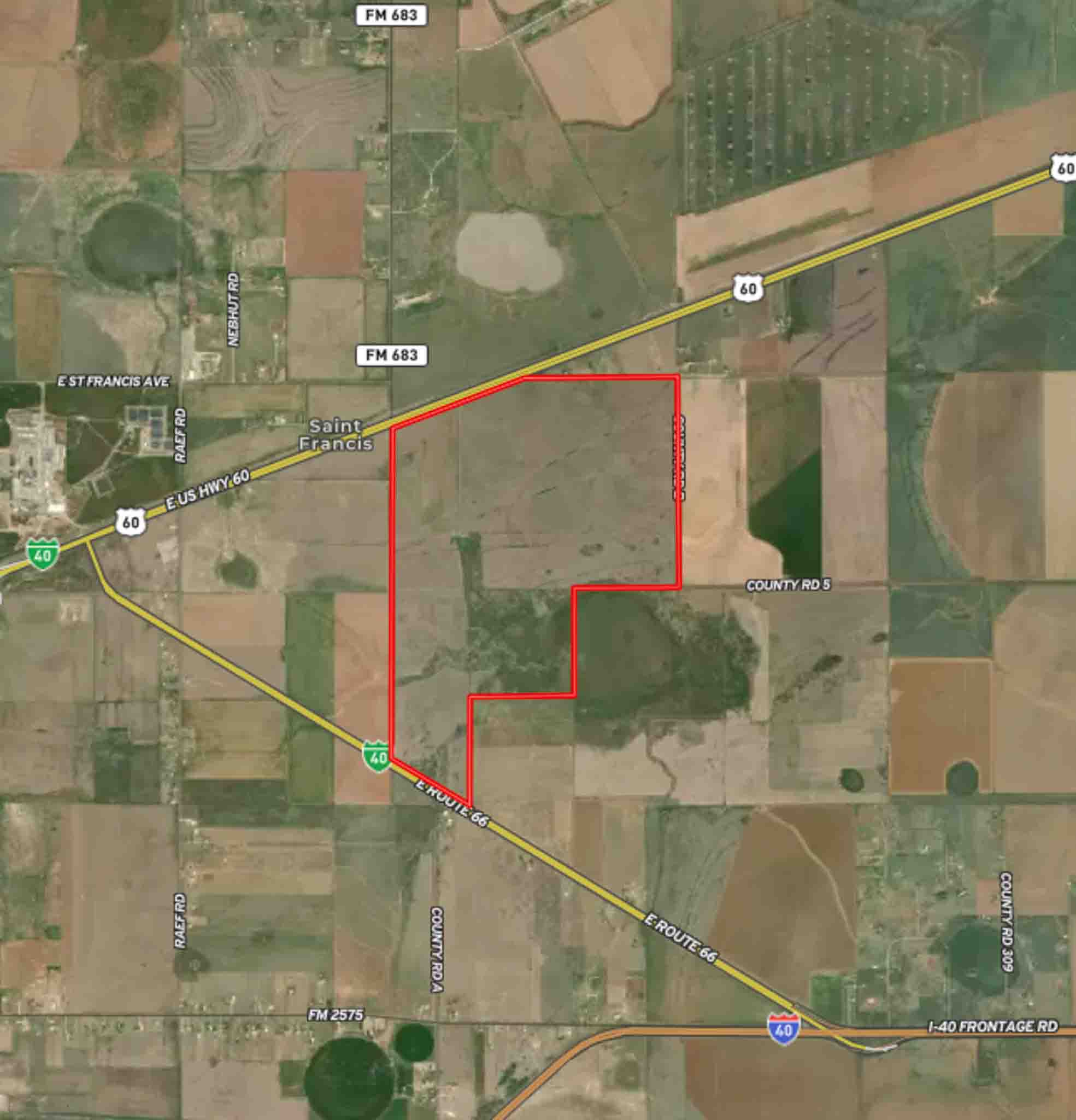
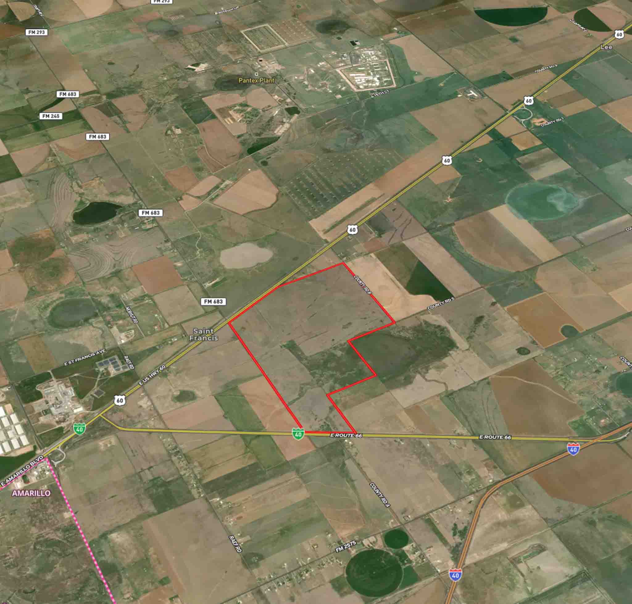
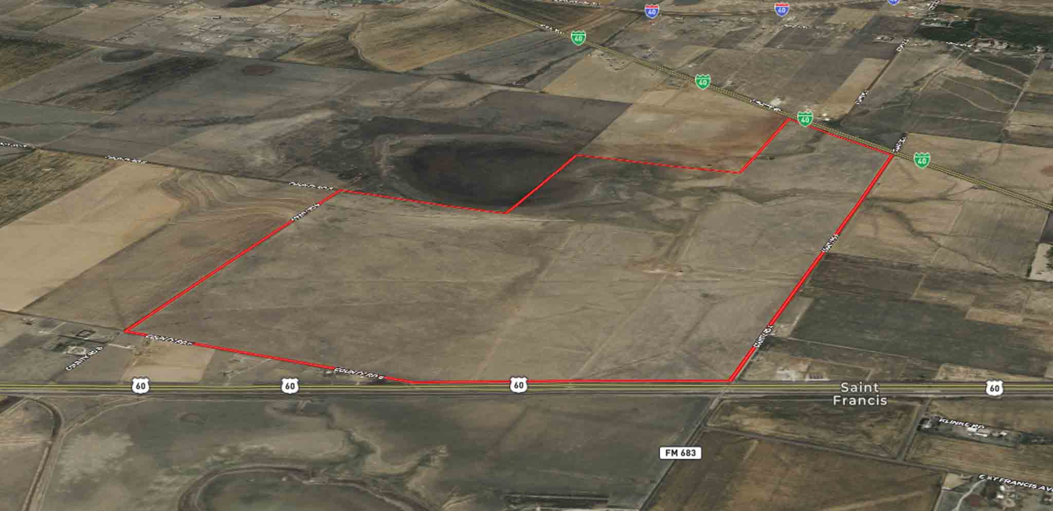
Property Map
Listing Agent: The Haynes Team
Licensed In States: TX, NM, OK, CO
E-mail: us@trianglerealtyllc.com | Cell Phone: 806-513-5055
Meet The Haynes TeamThe listing data on this web site is provided on an "as is" basis and for information and reference purposes only. We do not claim to review the accuracy of information and other materials available online about the clients that utilize its services. All those that review this site should take the appropriate precautions to verify all information. Neither owners or employees, or trianglerealtyllc.com or its affiliates can be held liable for typographical errors, layout error, or misinformation contained herein.