Located In: Canyon Communities

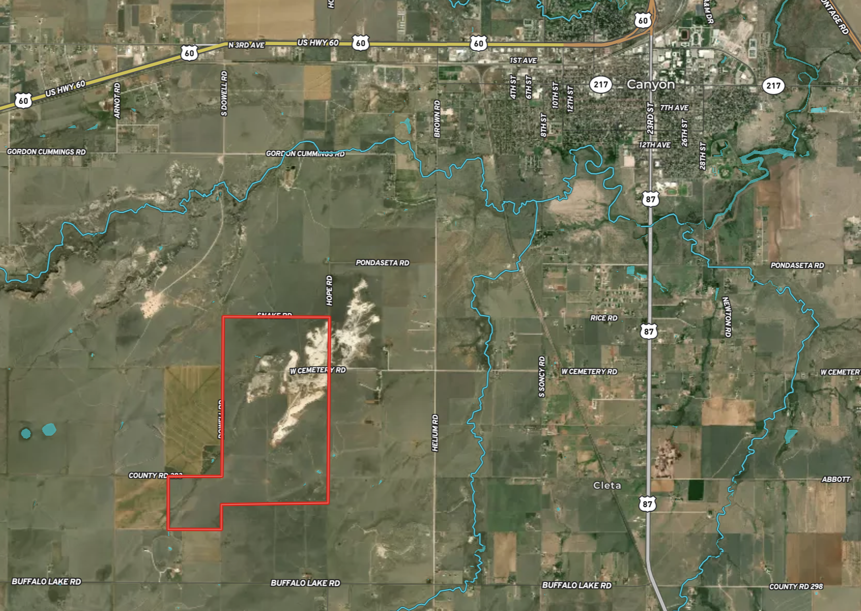
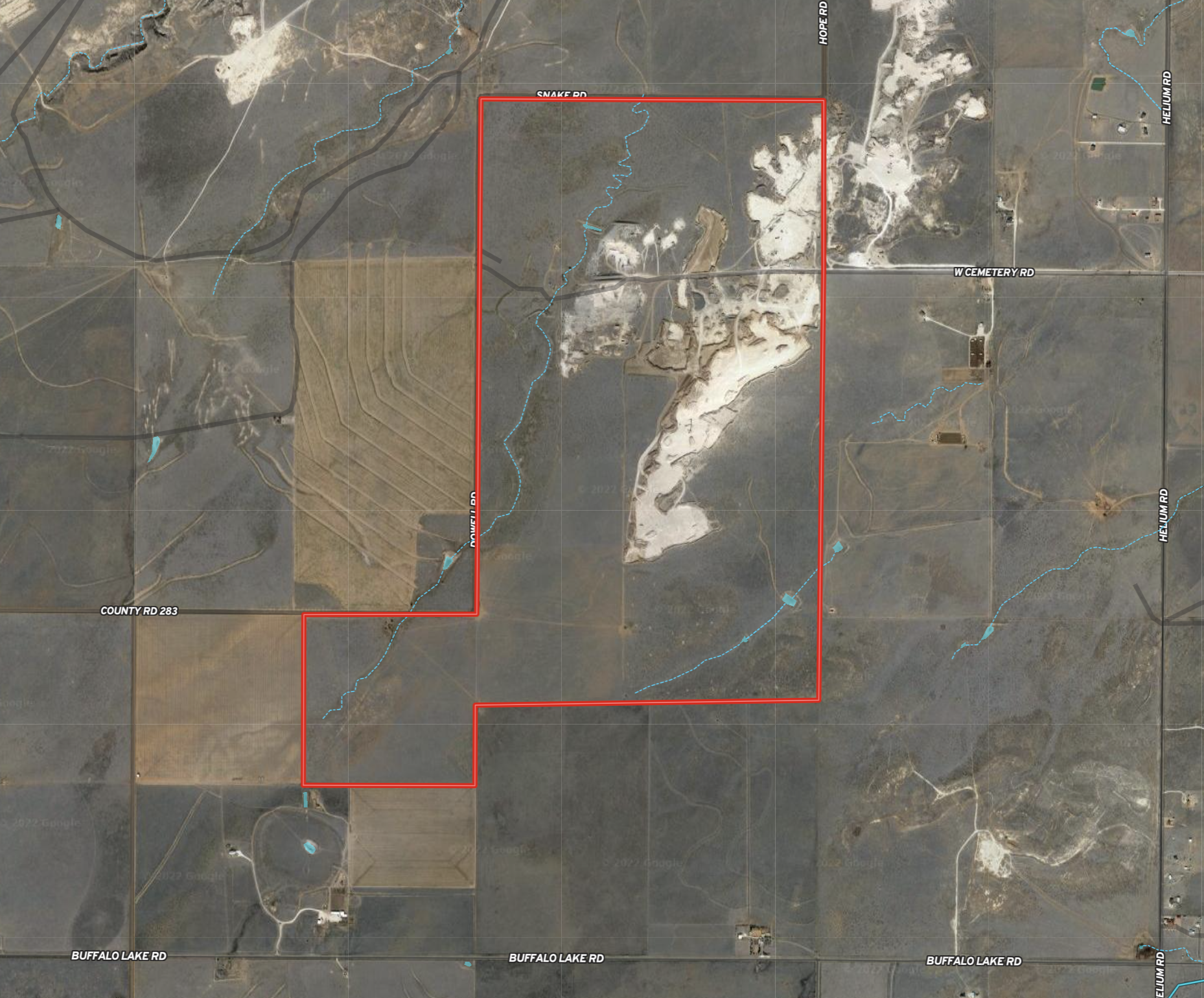
Property Description

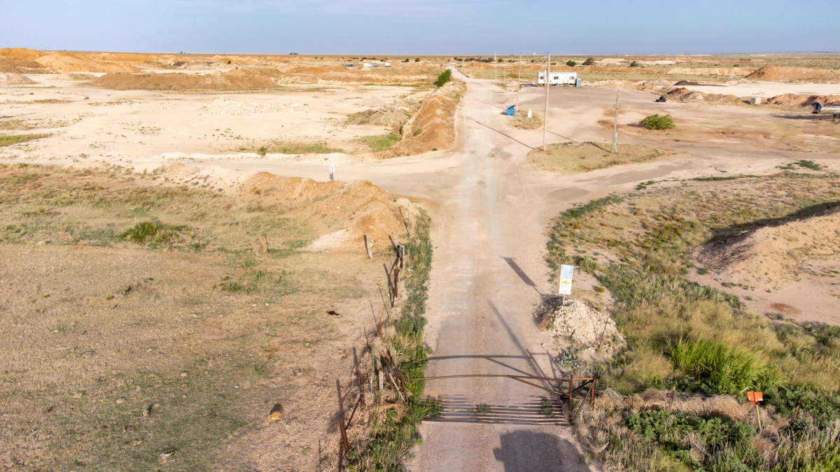
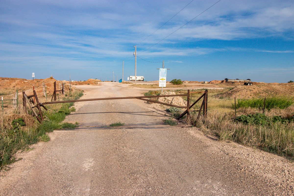
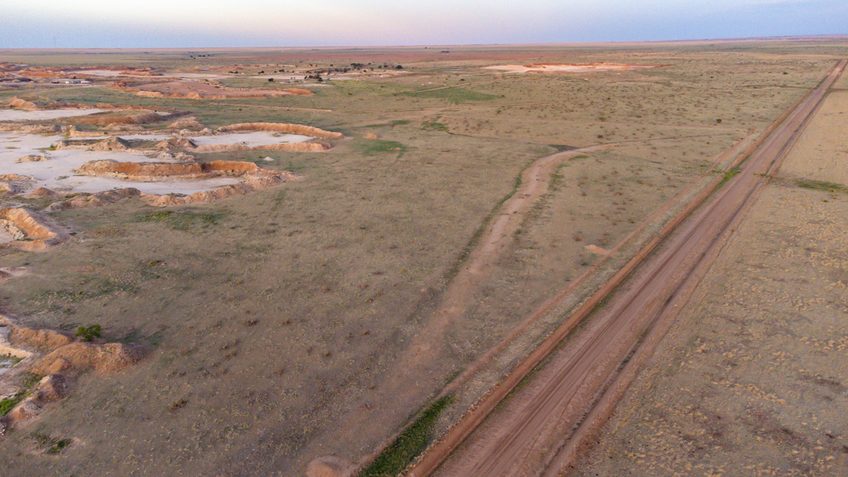
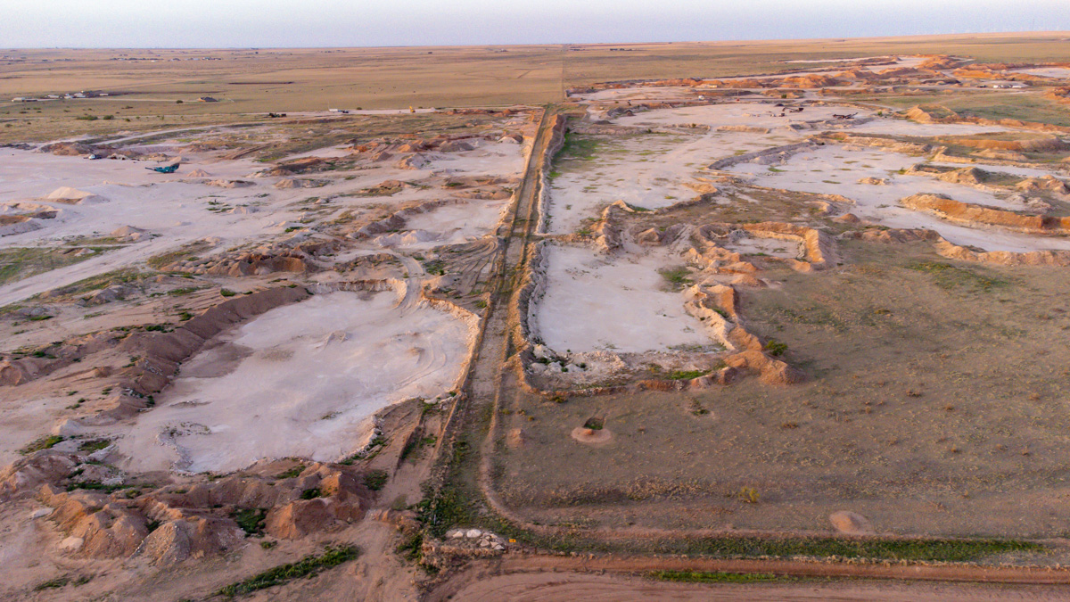
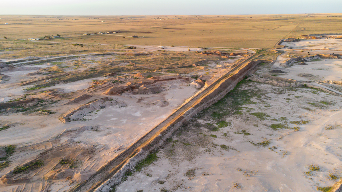
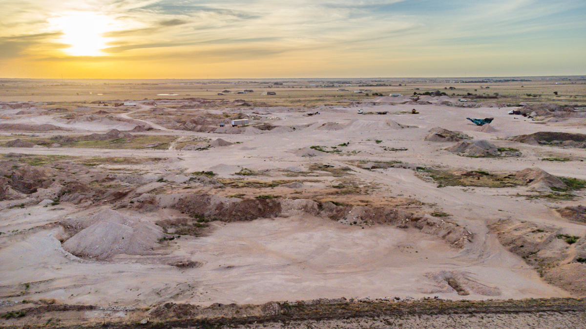
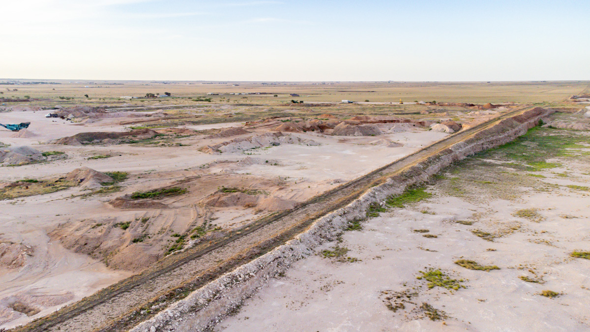
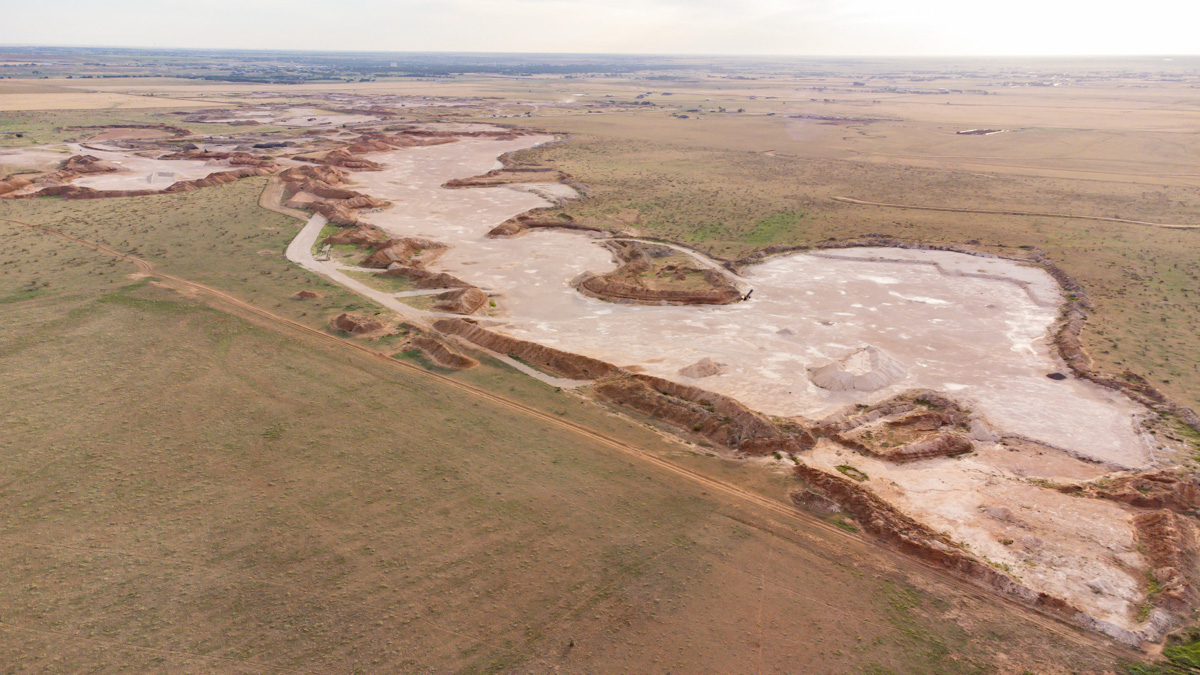
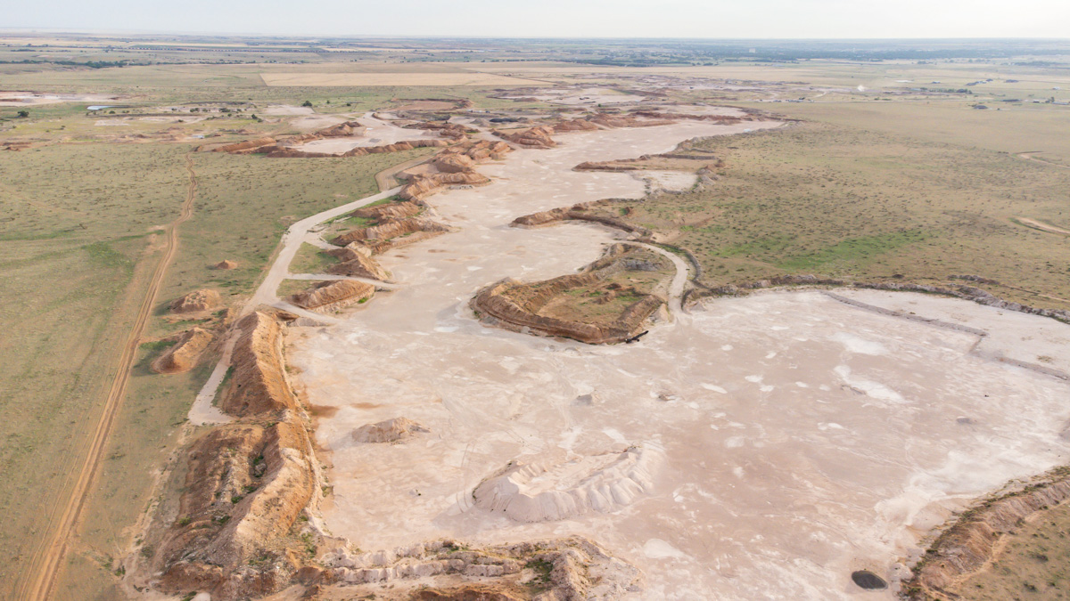
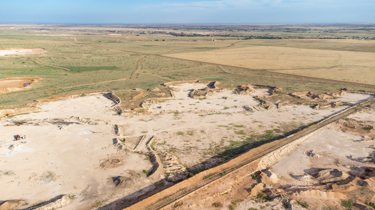
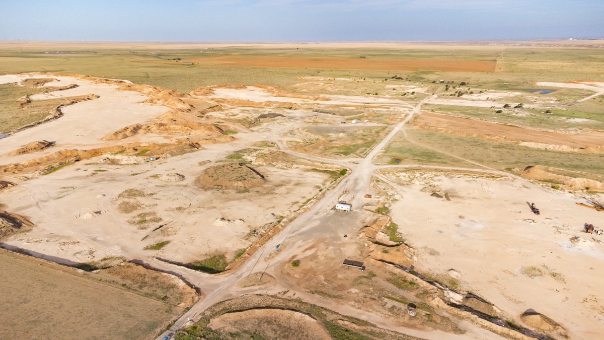
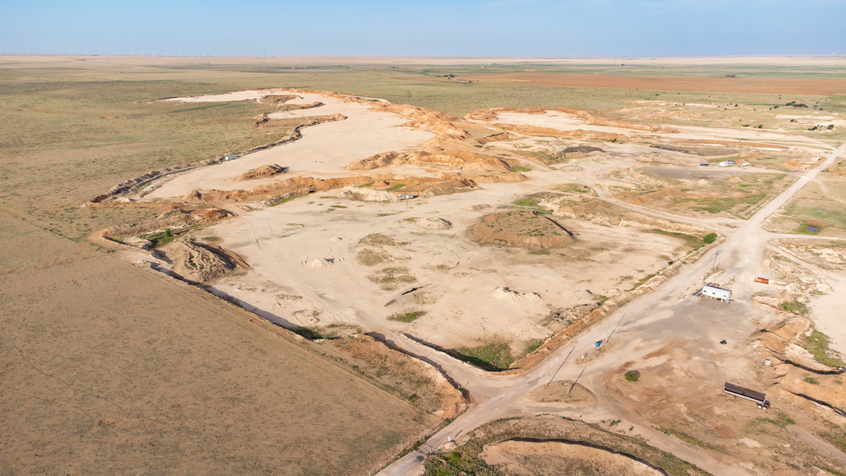
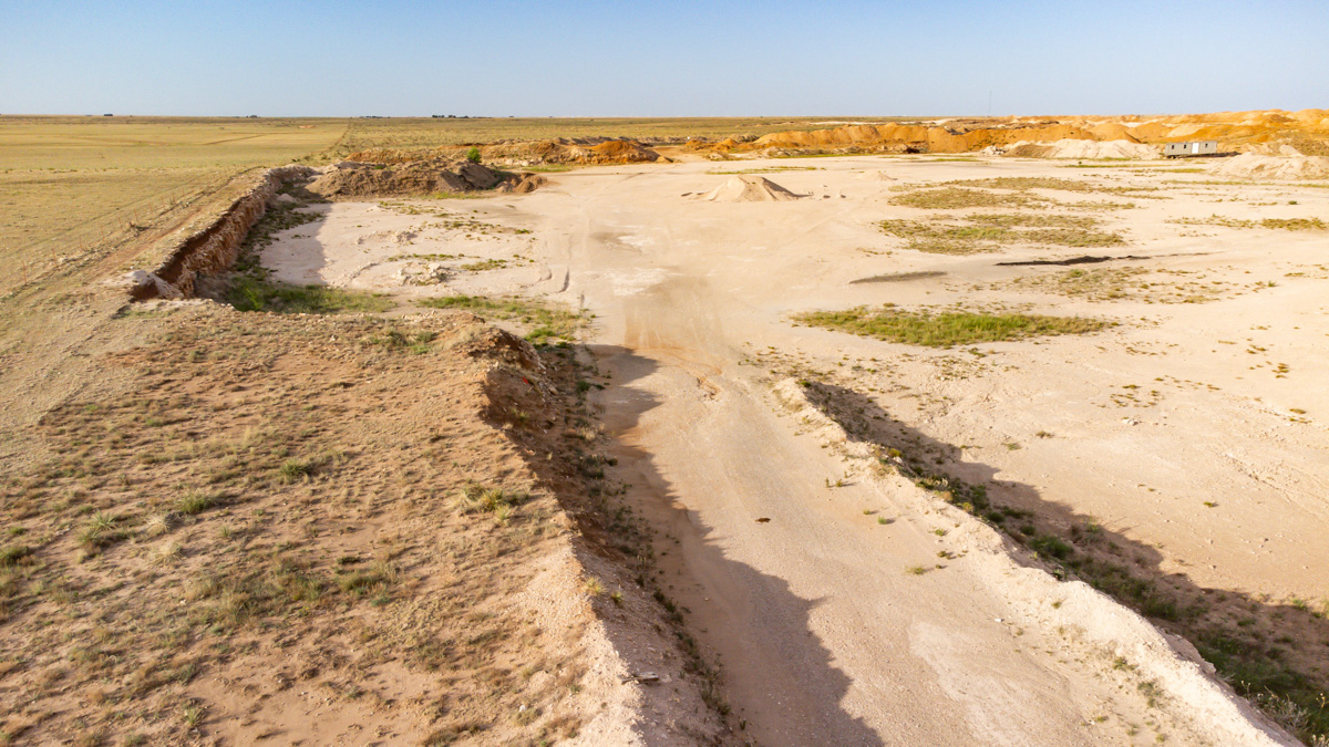
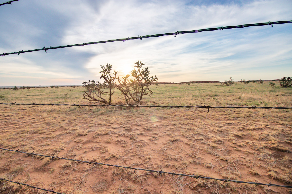
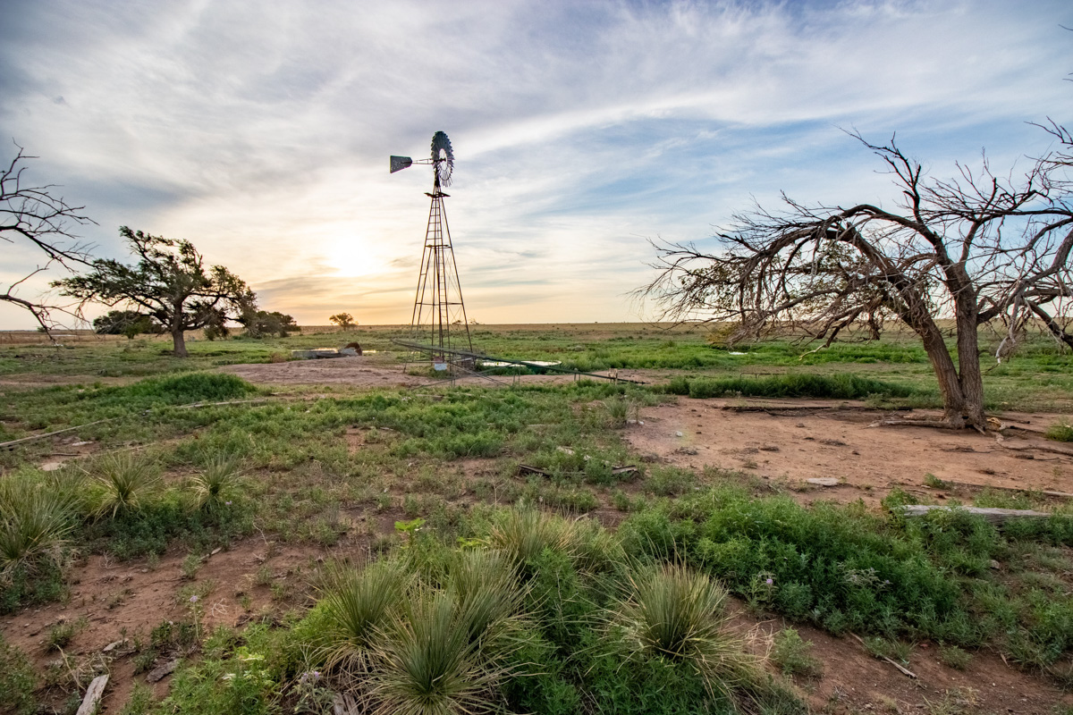
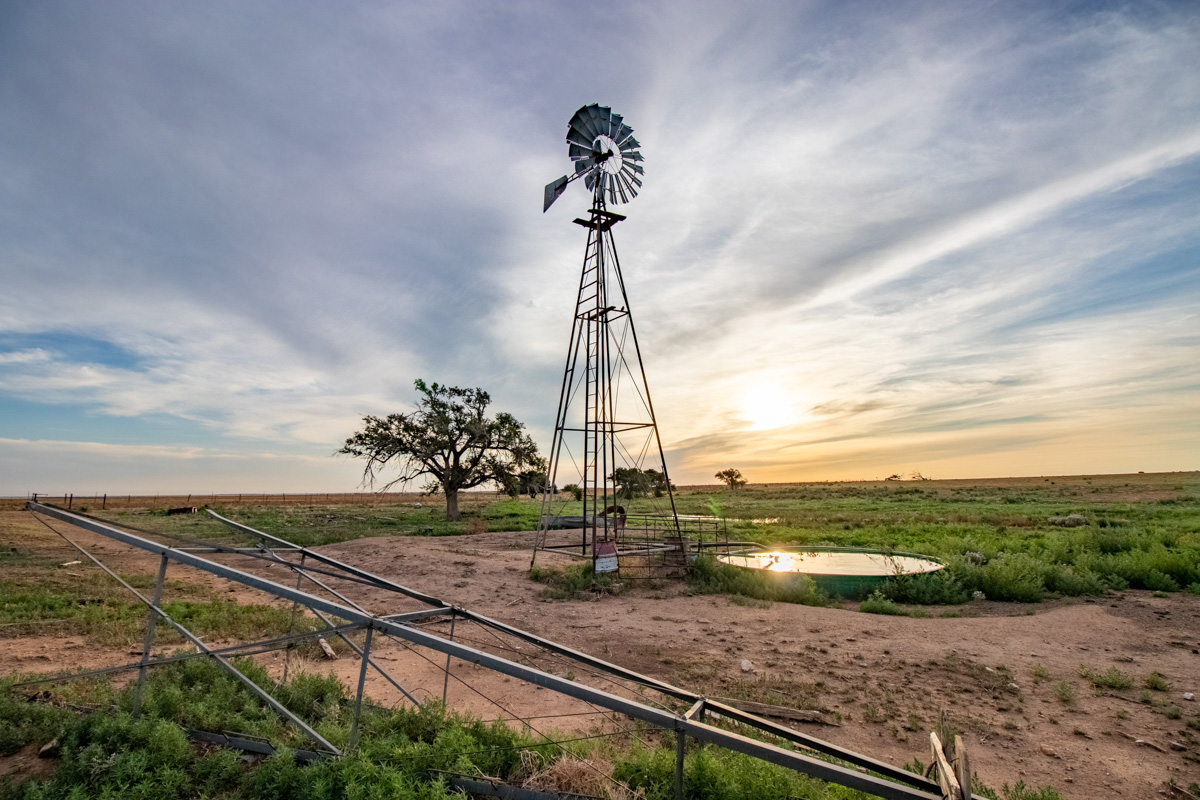
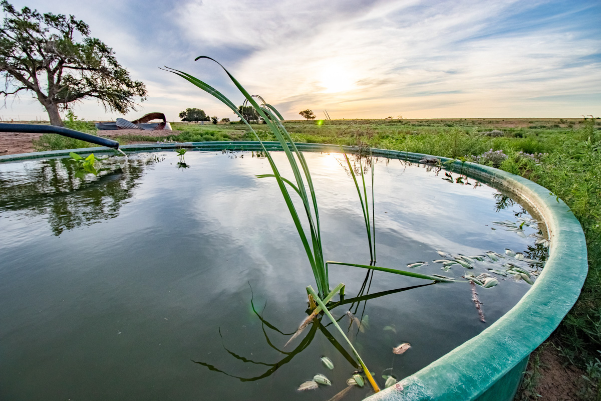
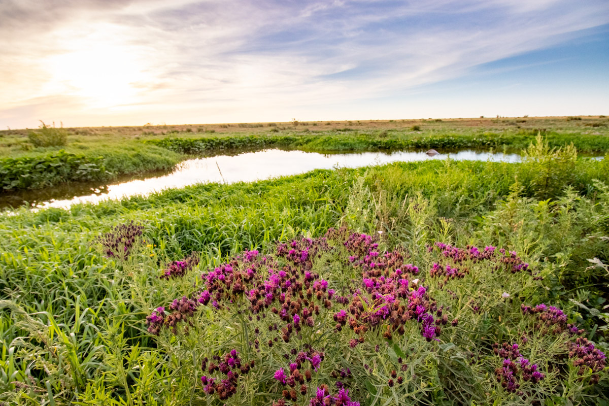
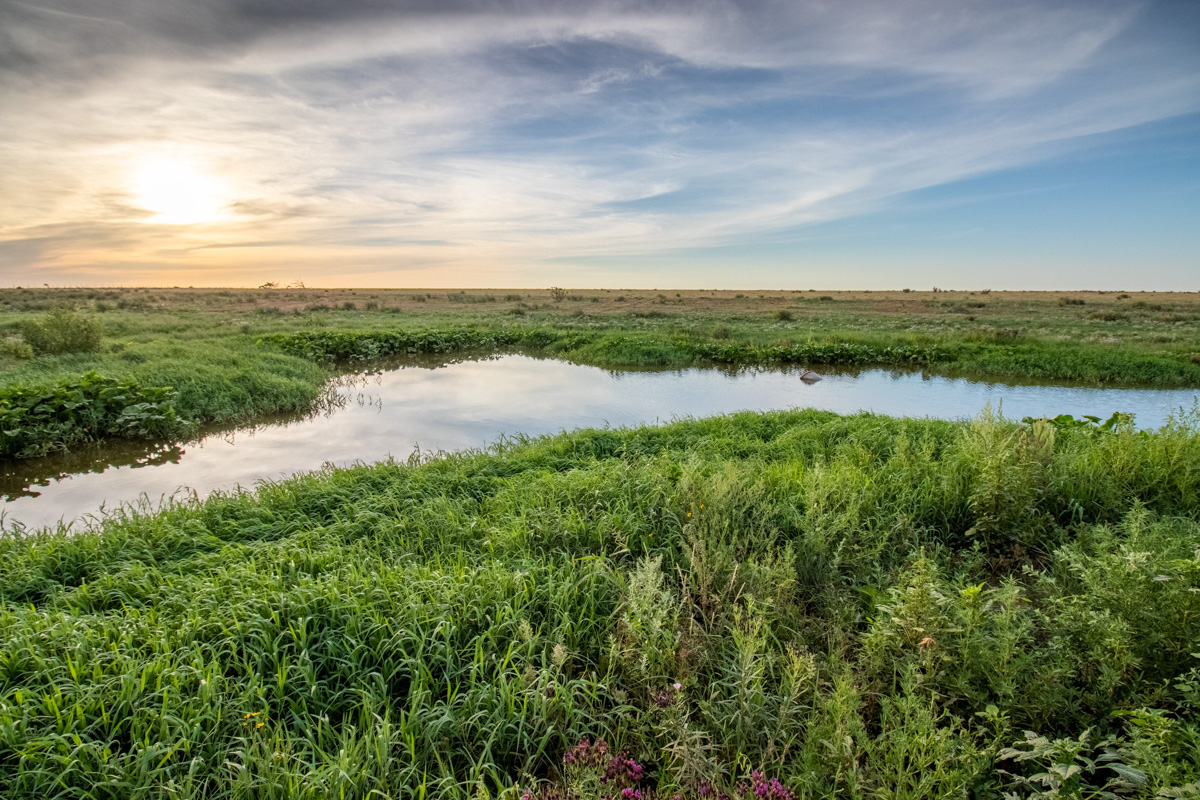
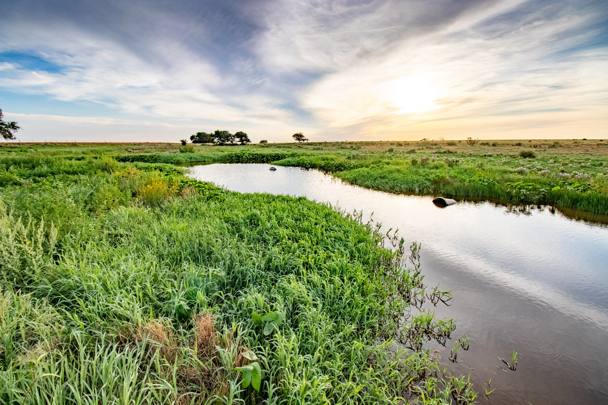
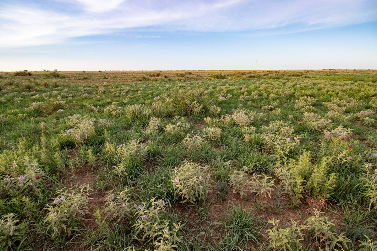
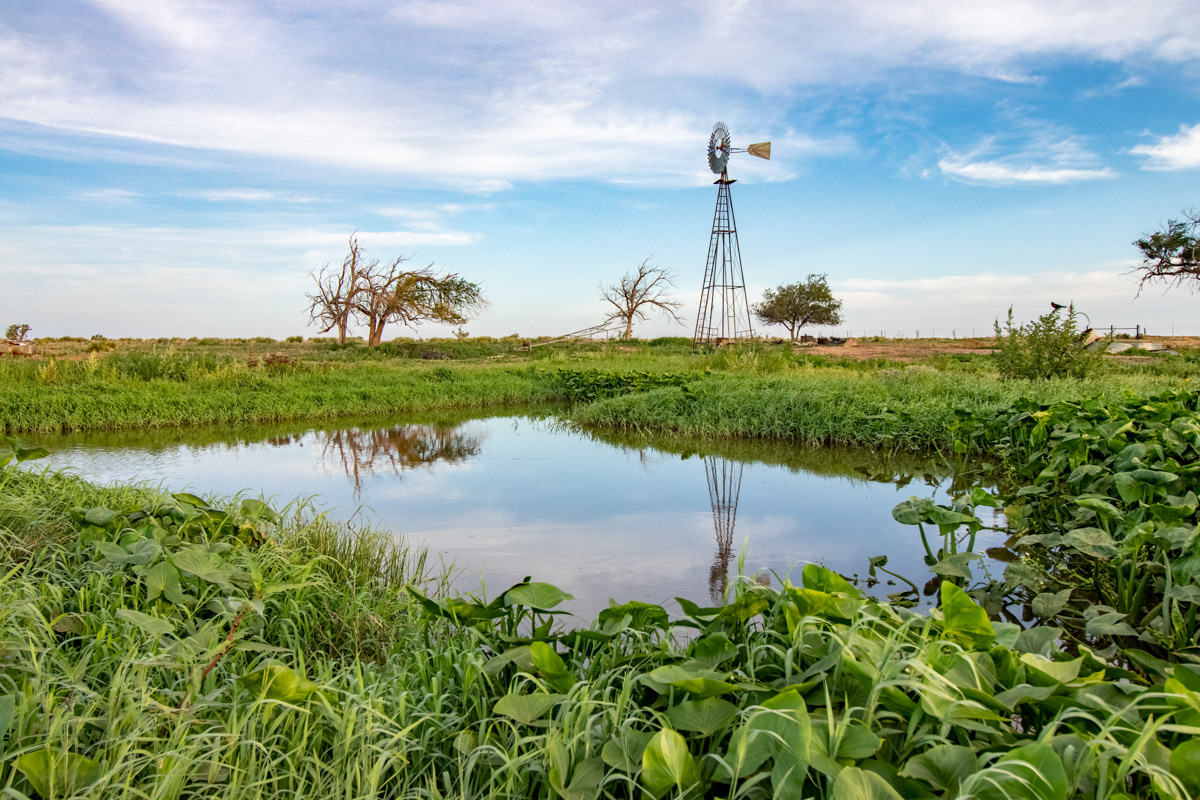
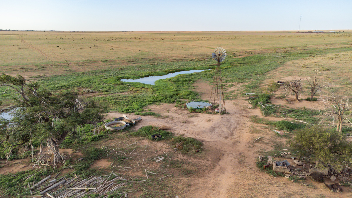
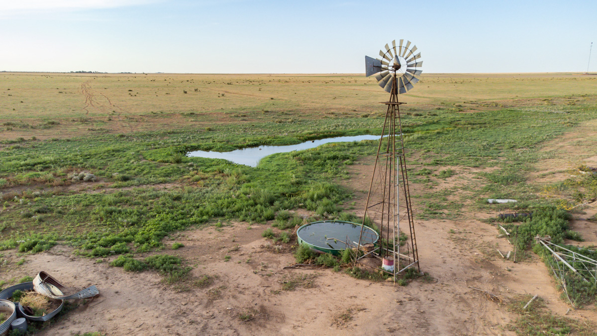
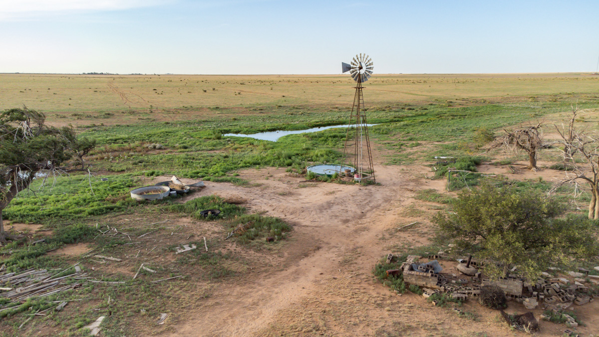
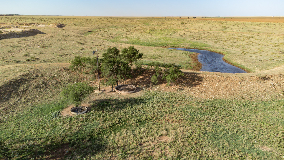
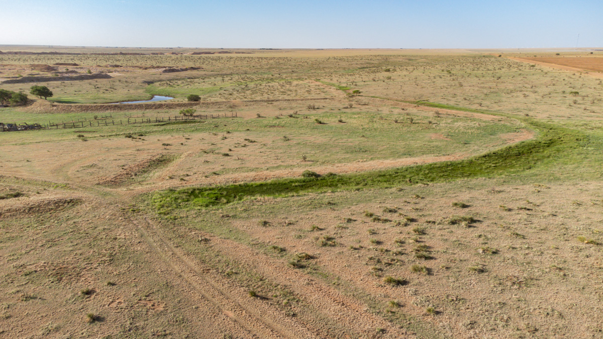
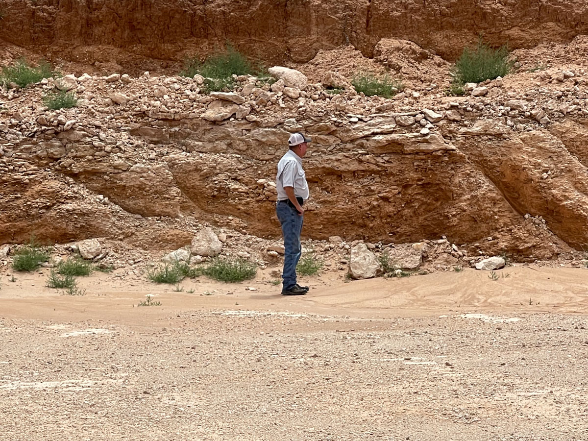
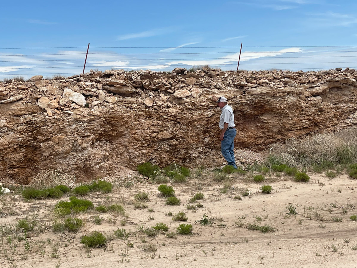
This is a one-of-a-kind property offering an investor the opportunity to own an income producing, caliche mining operation. The caliche mine encompasses  approximately 270 acres, with an additional ±740 acres of excellent ranch land. The combined acreage of ±1280 acres is located 5 miles southwest of Canyon, TX. Native grasses provide a great pasture for cattle grazing with boundary fencing. Livestock water is supplied by 1 windmill piped to 2 separate water tanks, with two submersible wells also available. The property is very accessible; county road frontage on three sides, and legal access from four county roads. This property has great investment potential and income diversity.

Price: $10,740,000

Status: For Sale

Size: ±1280 Acres

Want Updates?

Be the first to know!

TEXT LAND15 to 806-452-4090

Cemetery Road Caliche Pit is near Canyon, TX and about 20 miles from Amarillo.

Property Video

Property Info and Links

Location:
Cemetery Road Caliche Pit is located approximately 5 miles southwest of Canyon and 20 miles from Amarillo.
 
Water:
Water for livestock is supplied by 1 windmill piped to 2 separate water tanks, with two submersible wells also available. Additional seasonal ponds and a creek may be found.
 
Hunting:
Mule deer and quail can be found on the property.
 
History:
In the past years, the property has been used as an operating caliche mine, and the remain acreage for grazing cattle.
 
Improvements:
Cemetery Road Caliche Pit has barbed wire fencing around the entire property and multiple wells. The fencing is held up with steel and wood posts that are in good condition.
 
Minerals:
All rights are negotiable.
 
Landscape:
The property is used for general agricultural operation and has an operating caliche pit. The soils here within are listed with accompanying percentages for area of interest totaling 100%: Estacado clay loam (EcB) 29.81%, Kimberson gravelly loam (KmB) 21.51%, Olton clay loam (OcA) 14.13%, Pep clay loam (PcB) 11.79%, Acuff loam (AcB) 8.29%, Olton clay loam (OcB) 6.93%, Plemons loam (PnC) 5.41%, and other soils 2.13%.
Please see Soil Report for more information.
 
Exclusions:
There are no known exclusions at this time.
 
Zoning/Easements: 
The property is outside of any municipality so is not zoned. There are no known easements that would affect operation of the land. It is anticipated all existing easements will be identified by surveyors.
 
Estimated Taxes:
*$1,239.04
*This is an estimated taxes for 2022 based on the previous year's taxes. Potential buyers will be responsible for verifying the taxes with any potential exemptions.
 
Water Conservation District: 
Cemetery Road Caliche Pit lies within the High Plans Water Conservation District. Please see website for more information about water information.
 
Area:  
This property is located in the panhandle, outside of Canyon. Cemetery Road Caliche Pit lies within Randall County.
 
Access:
Property has county road frontage on three sides, and legal access from four county roads. There is frontage on Snake Road, Dowell Road and CR 283. In addition, legal access to mining operation can be used from Cemetery Road & Brown Road.
 
Directions:
From Amarillo: Go towards Canyon and take HWY 60 west, to Brown Rd. Turn left onto Brown Rd. Travel 3 miles to Cemetery Rd. Take a right onto Cemetery, entrance is less than a mile.

Contact Us

Triangle Realty is here to support you. Please complete the form below, and we will be in touch with you shortly.

Don’t want to fill out a form? Give us a call anytime at 806.367.8334, or email here to get in touch directly.

  • This field is for validation purposes and should be left unchanged.

1
Operating Cliche Mine

2
±1280 Acres

3
Excellent Grassland

4
Multiple Access Roads

Property Map

Listing Agent: The Haynes Team

Licensed In States: TX, NM, OK, CO

E-mail: us@trianglerealtyllc.com | Cell Phone: 806-513-5055

Meet The Haynes Team