Property Description
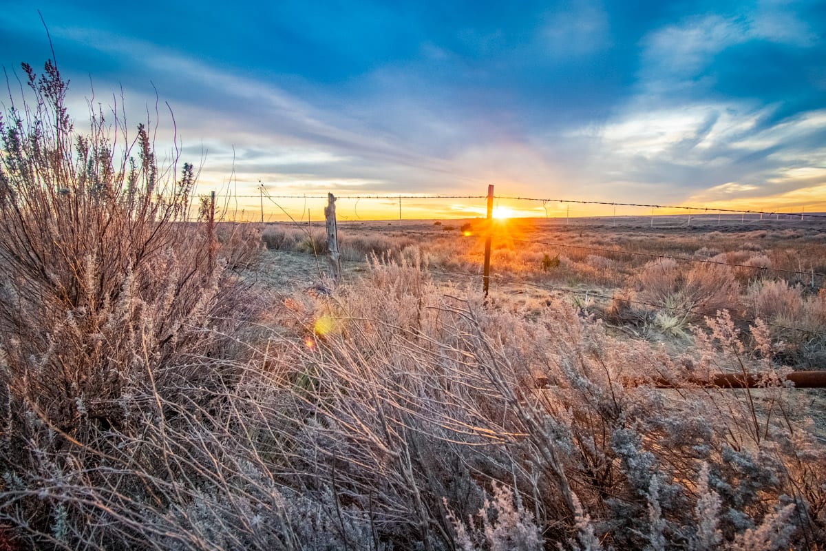
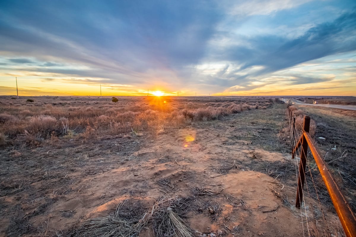
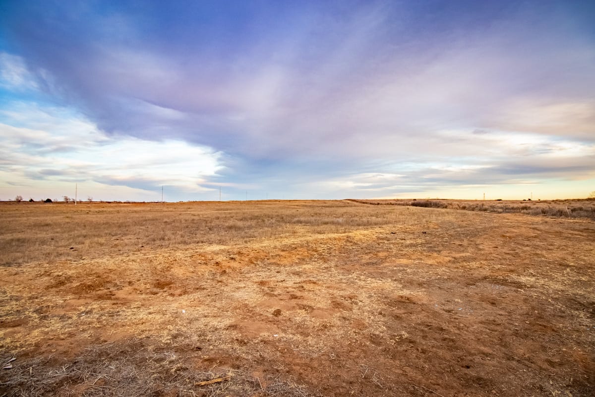
Fantastic property on HWY 287 between Lelia Lake and Hedley or about 9 miles southeast of Clarendon, Texas. Would make a great homesite with easy access in and out of the property. There is a new 5-strand fence on the west side along County Road 20 and the fence along the highway has been completely rebuilt. There are 2 water wells on the property. 1 well at the pens has a new pump installed September 2019.
Want Updates?
Be the first to know!
Text LAND45 to 806-452-4090
The property sits about 9 miles southeast of Clarendon, TX on Highway 287.
1
Paved Frontage
2
New Well Pump
3
Pens
4
New Fencing on North and West
Property Map
Sold Listing Agent: The Haynes Team
Licensed In States: TX, NM, OK, CO
E-mail: us@trianglerealtyllc.com | Cell Phone: 806-513-5055
Meet The Haynes TeamThe listing data on this web site is provided on an "as is" basis and for information and reference purposes only. We do not claim to review the accuracy of information and other materials available online about the clients that utilize its services. All those that review this site should take the appropriate precautions to verify all information. Neither owners or employees, or trianglerealtyllc.com or its affiliates can be held liable for typographical errors, layout error, or misinformation contained herein.