Property Info and Links
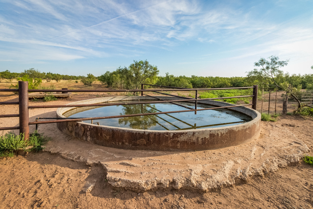
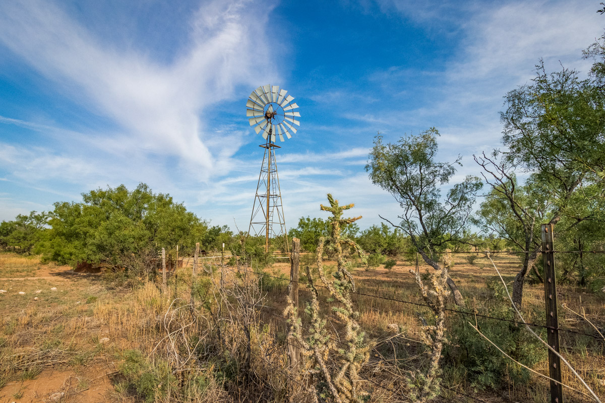
Water:
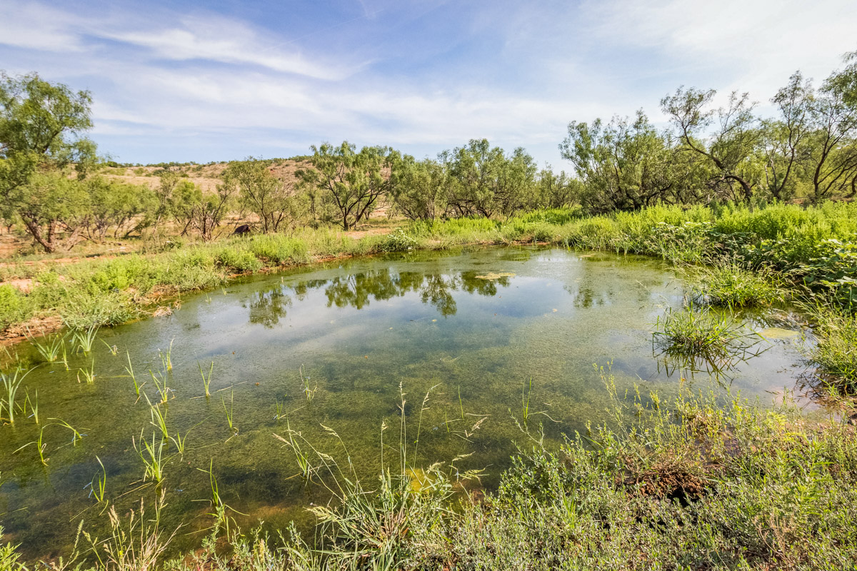
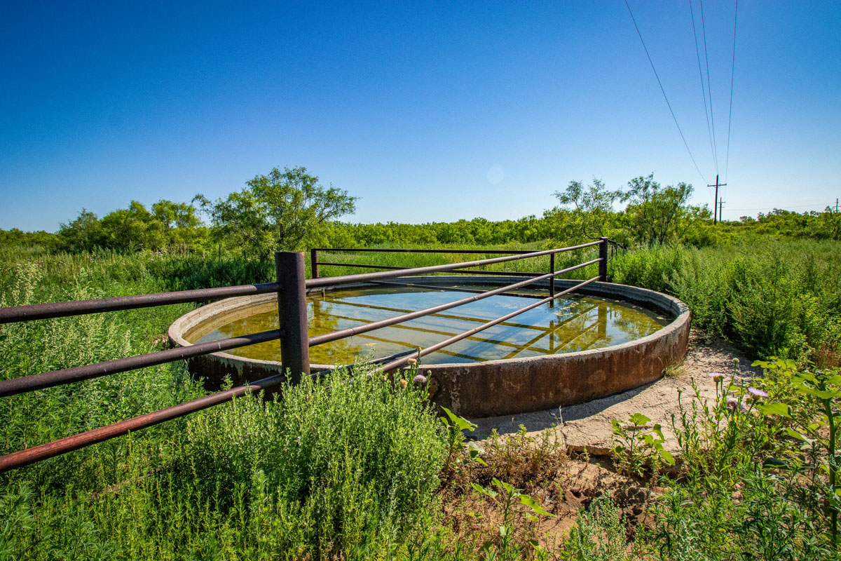
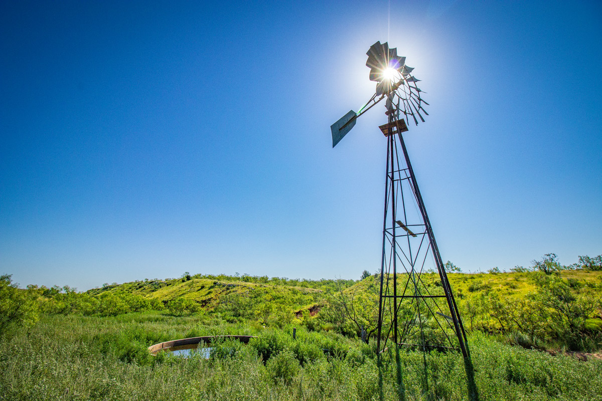
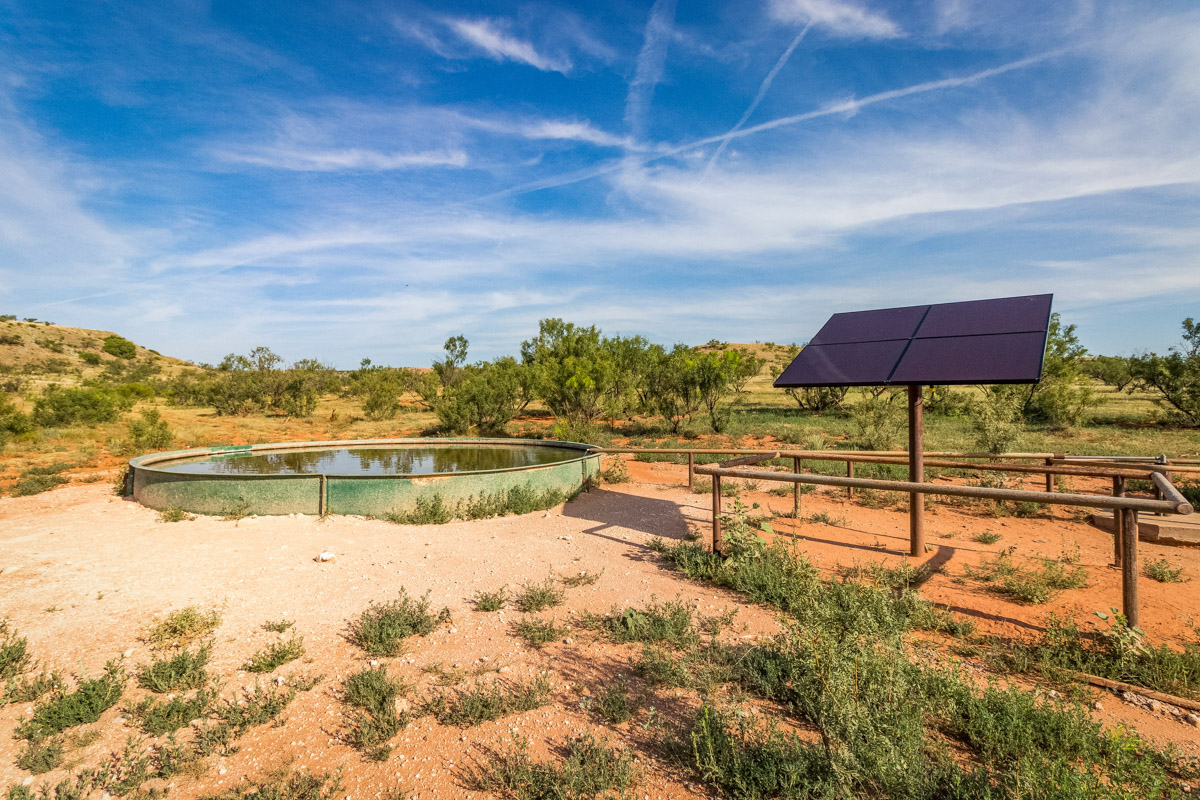
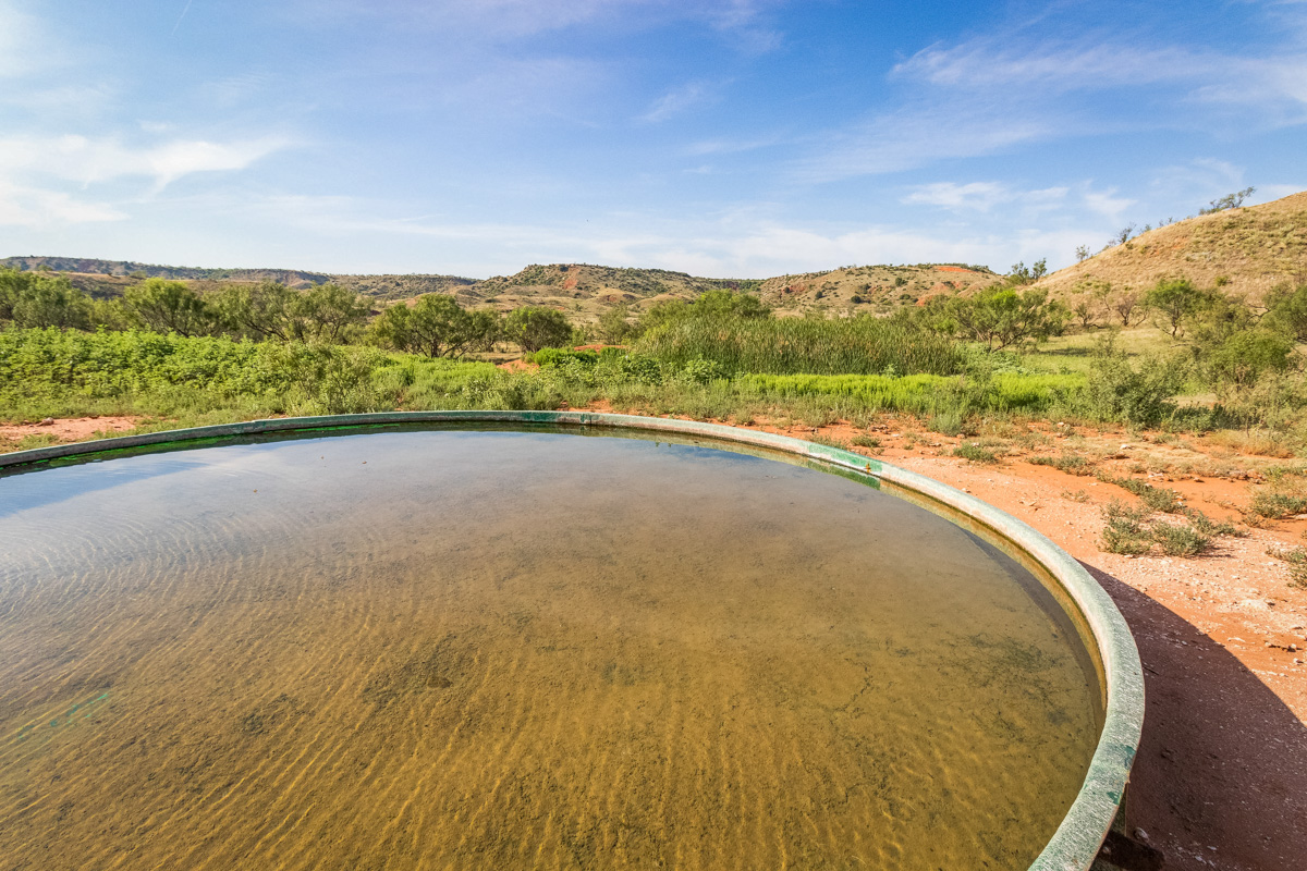
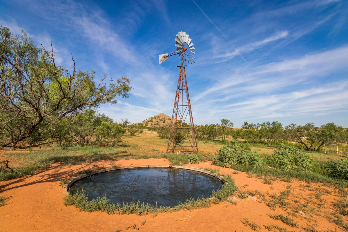
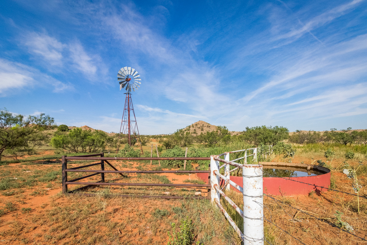
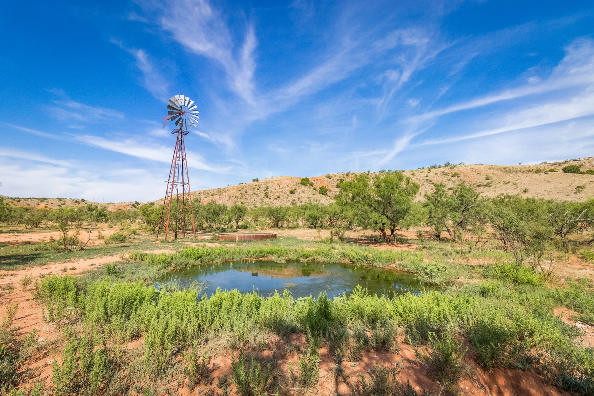
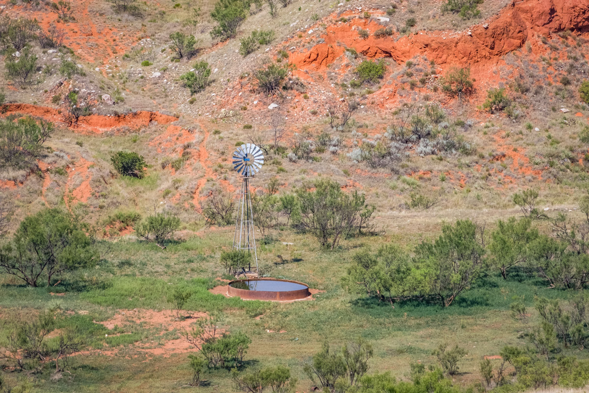
The Rock Creek Ranch includes a variety of water features. The ranch has several different watering locations. Approximately 8 miles of pipeline, fed by a large storage tank and electric submersible well located in the west trap, supplies water to 10 different drinkers. Water wells include seven windmills, one solar well and two wells with electric submersible pumps. Surface water features include several earthen tanks and seasonal holes of water in the many draws and creek bottoms.
Improvements:
Livestock facilities include a set of working pens with scales and an overhead two-hopper cake bin. The ranch is fenced and cross-fenced into four main pastures and three traps.
Hunting:
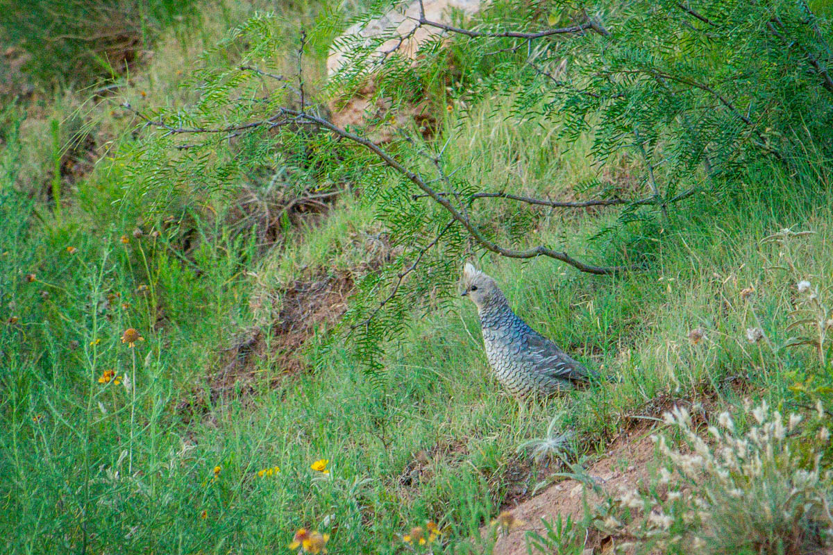
The Rock Creek Ranch has excellent recreational features. The Canadian River corridor is famous for its trophy quality mule deer. The ranch also supports a good population of quality white-tail deer, as well as quail, bobcat and coyote. The ranch shares a boundary with the nearly 21,000-acre Lake Meredith National Recreation Area, providing easy access to public hunting lands.
History:
The ranch has been conservatively stocked over the past several years and includes a good stand of native grasses and desirable browse for wildlife. The opportunity to purchase a ranch property such as the Rock Creek Ranch is rare. With several large long-term family land holdings in the area, seldom does a ranch of this size within 30 minutes of Amarillo become available for purchase.
Minerals:
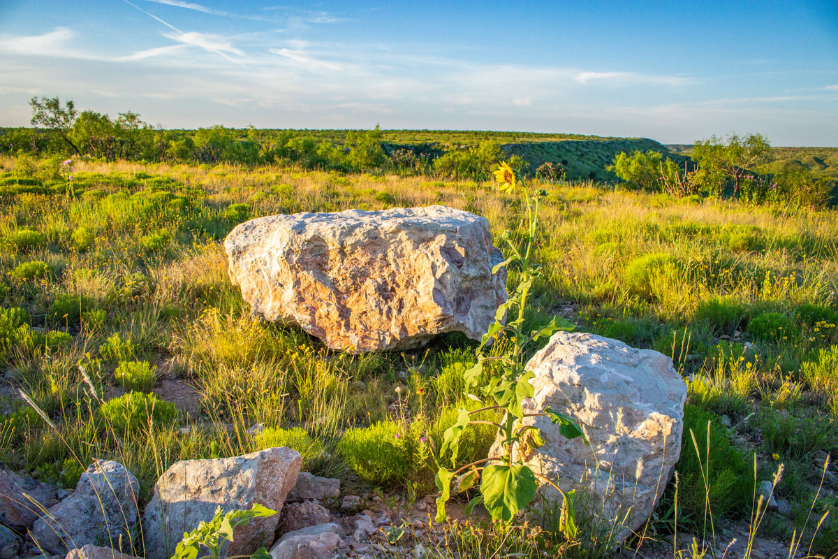
The Rock Creek Ranch is offered on a surface only basis. However, the ranch includes mineable caliche and all wind energy rights will be conveyed.
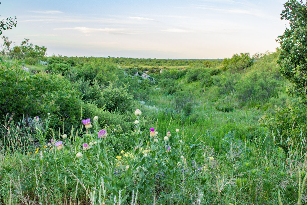
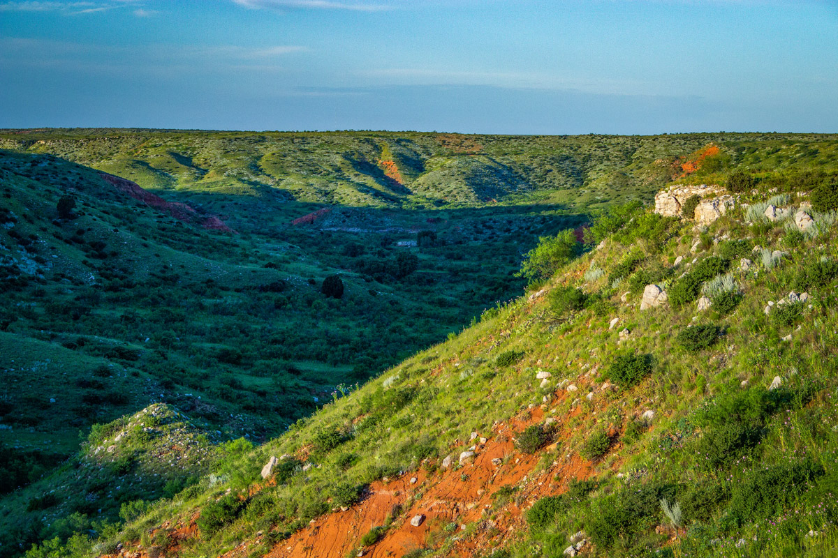
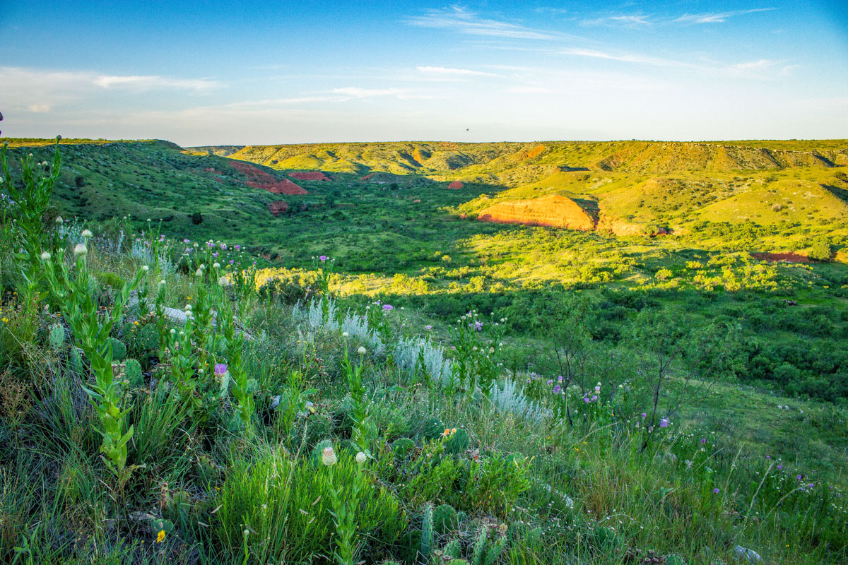
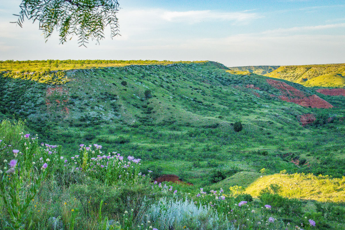
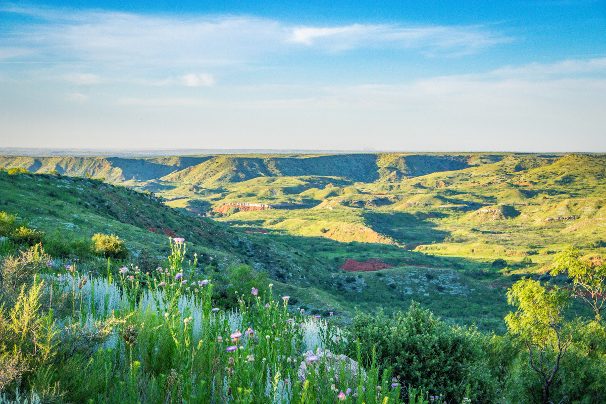
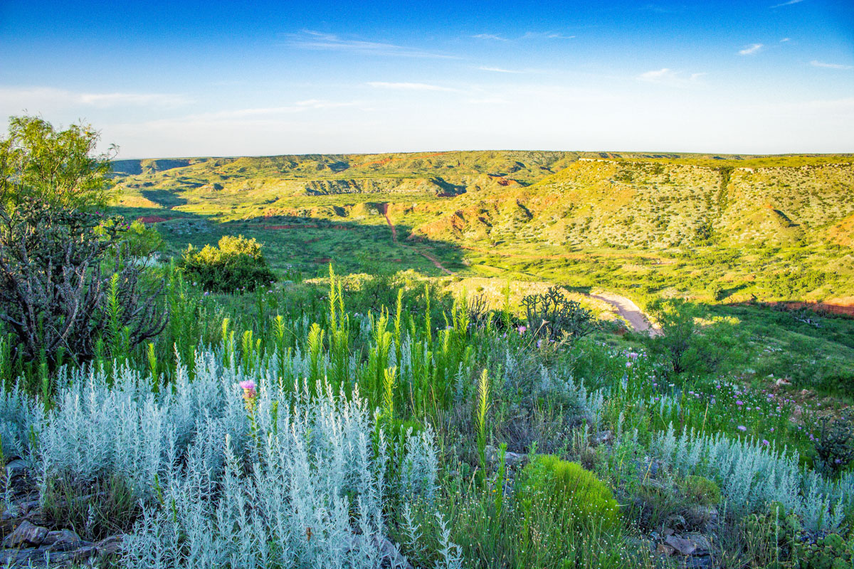
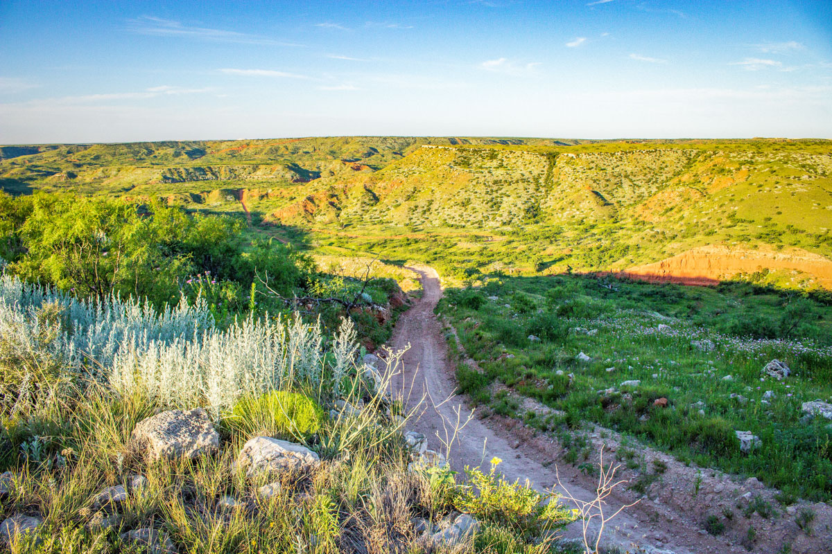
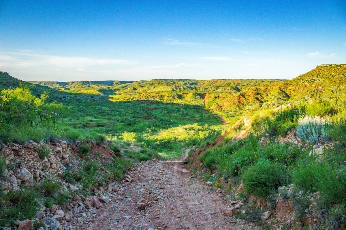
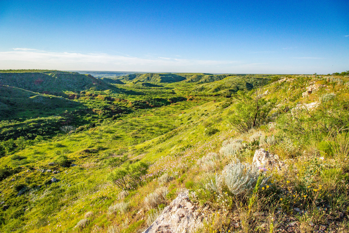
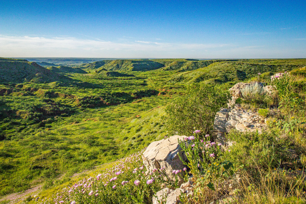
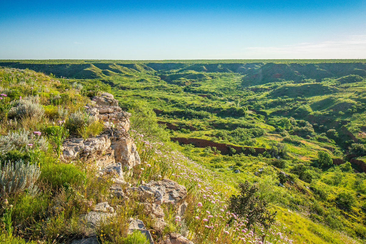
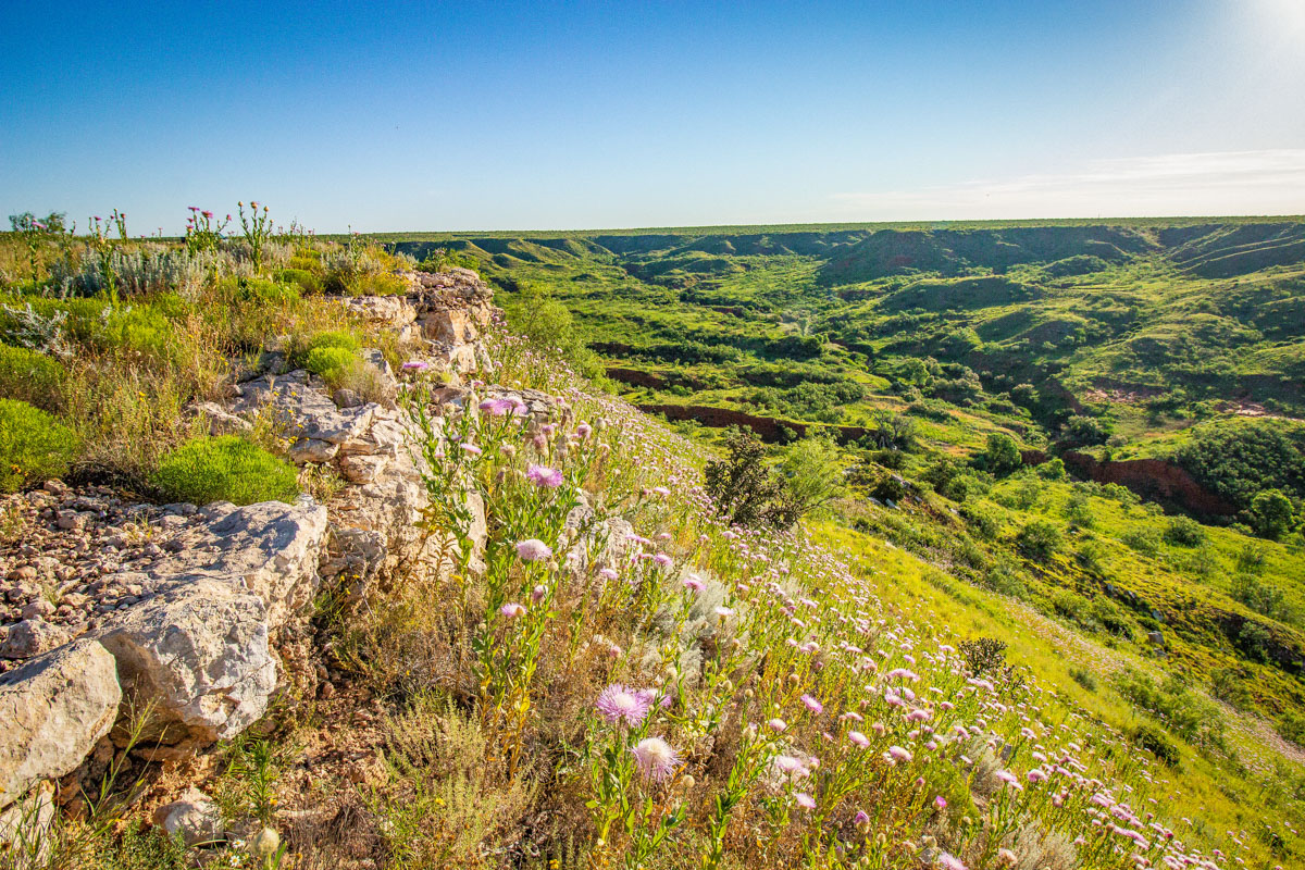
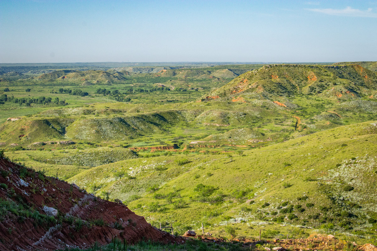
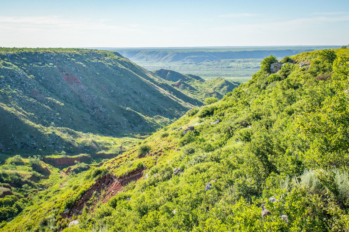
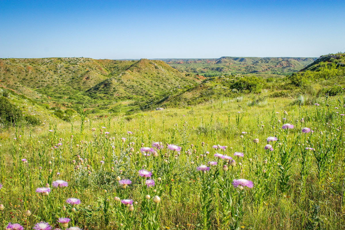
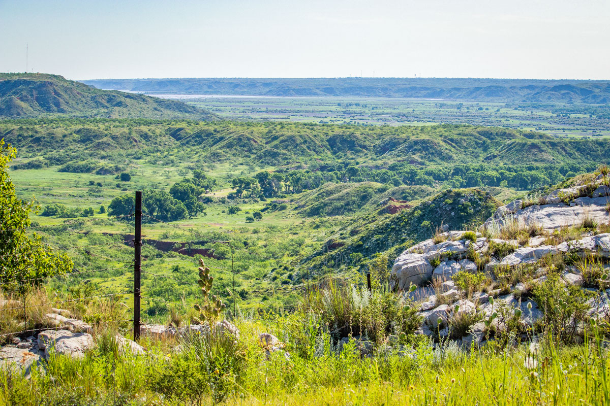
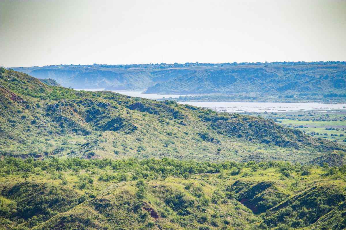
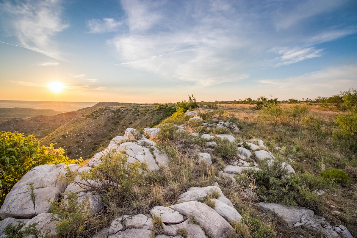
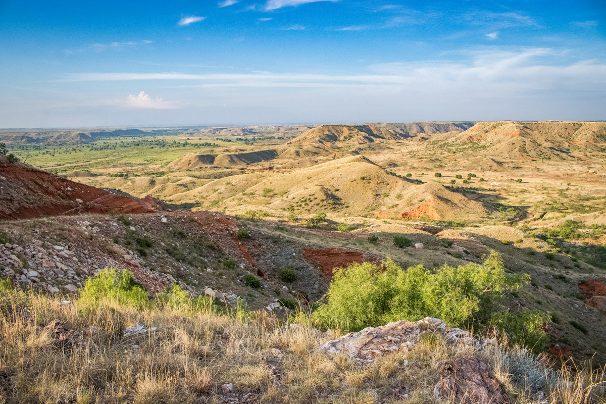
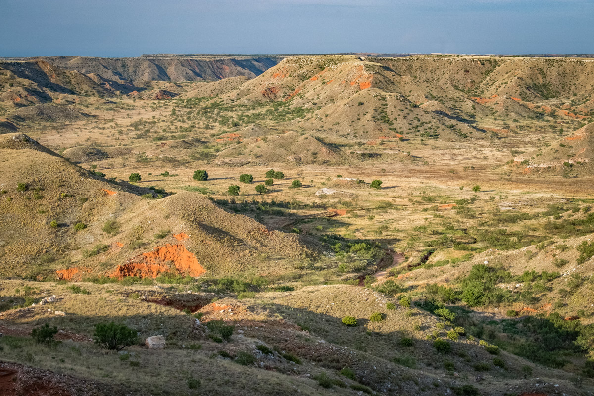
Landscape:
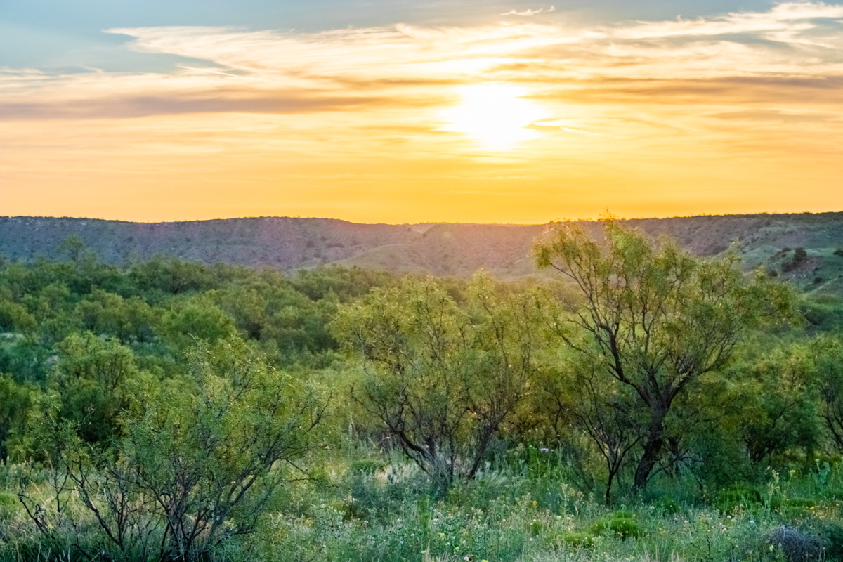
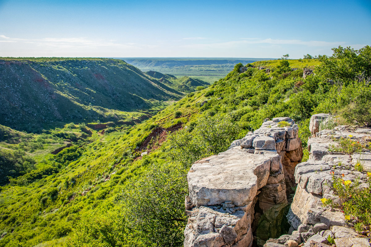
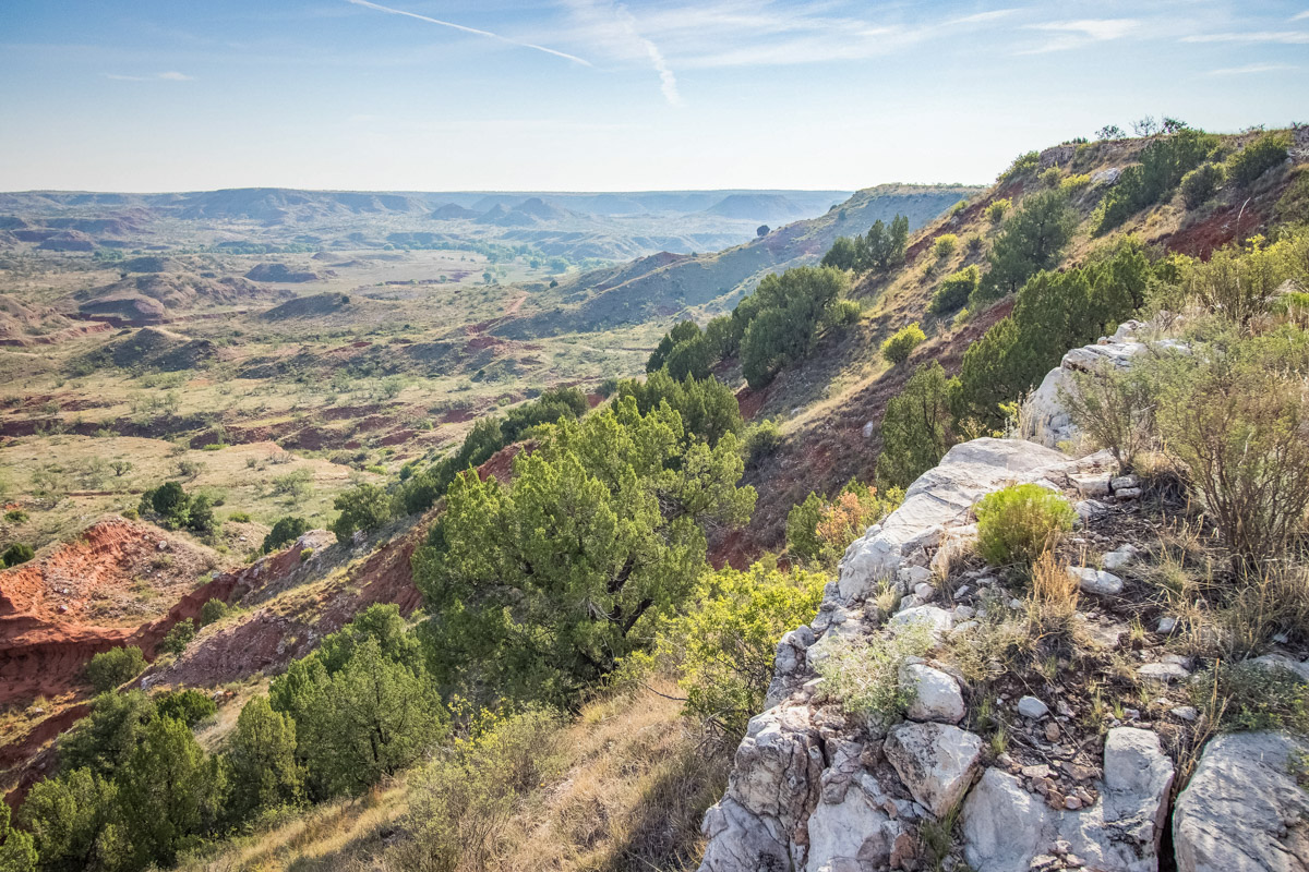
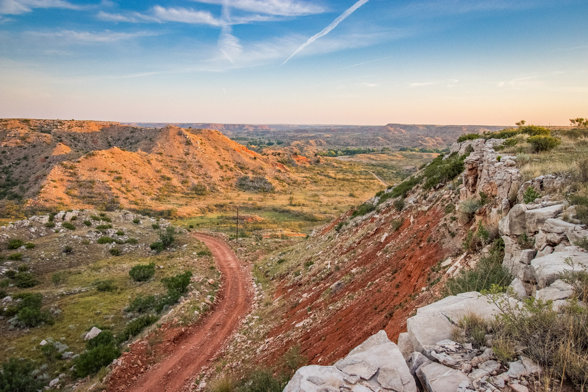
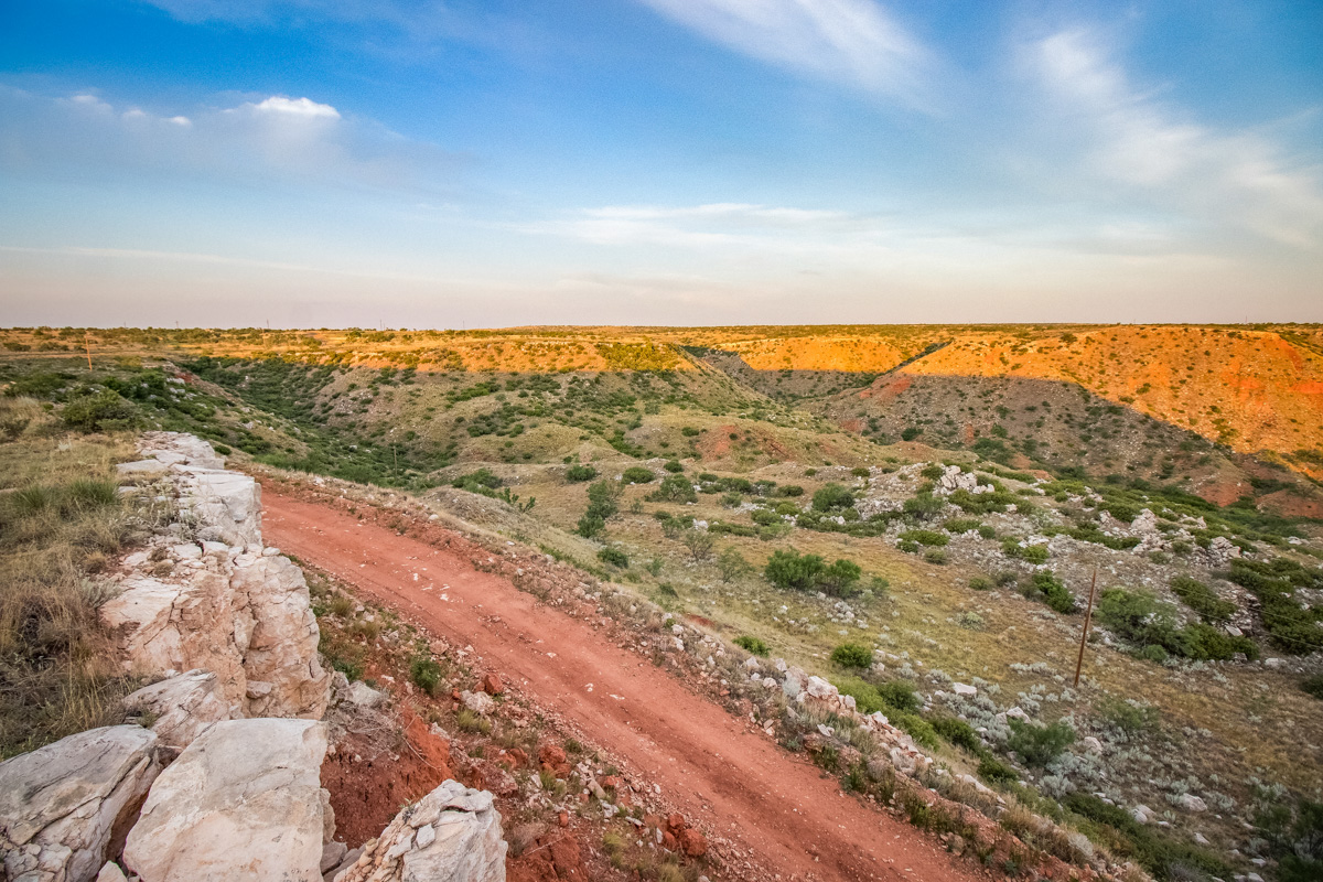
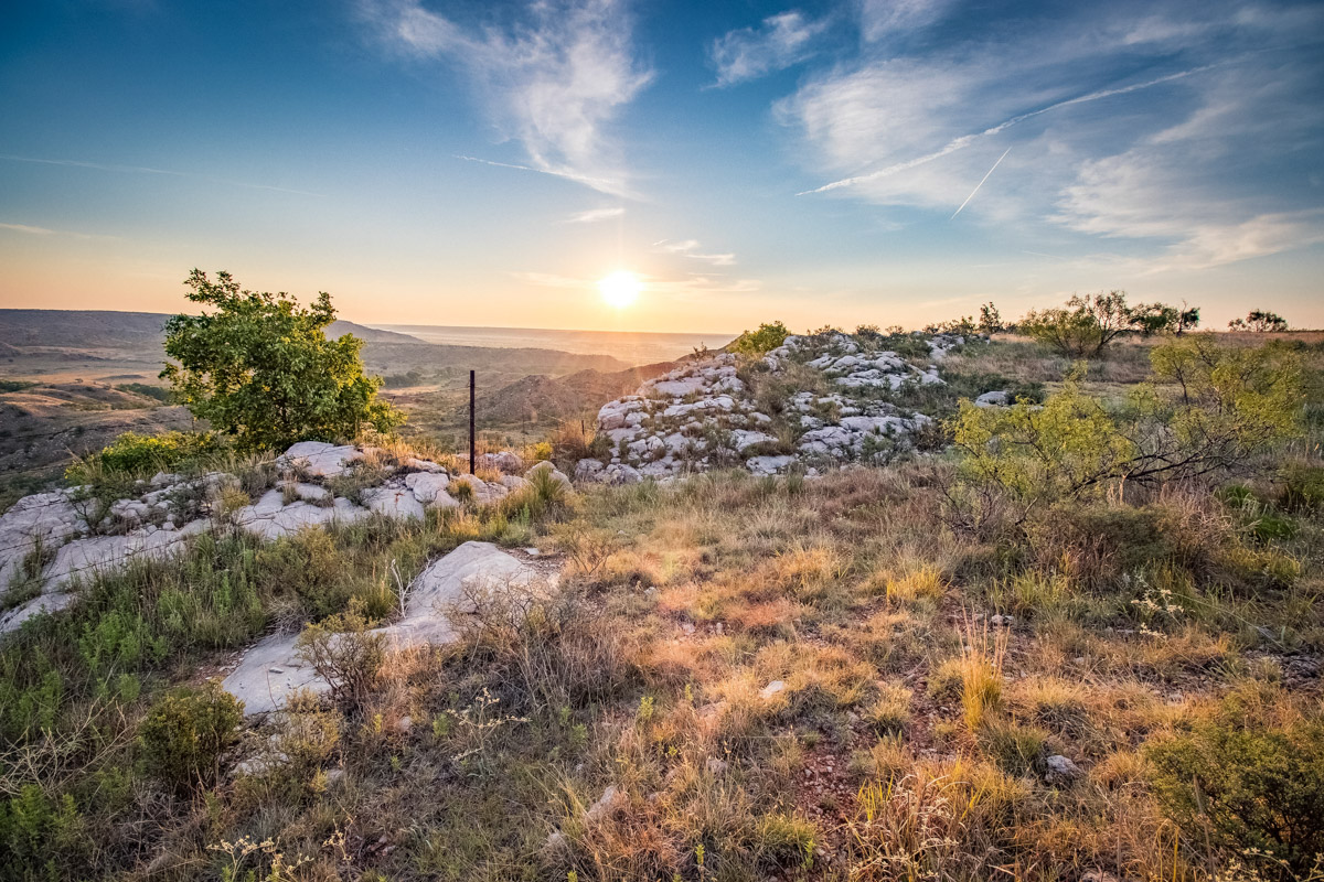
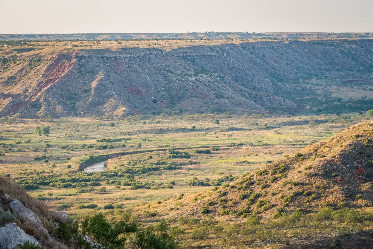
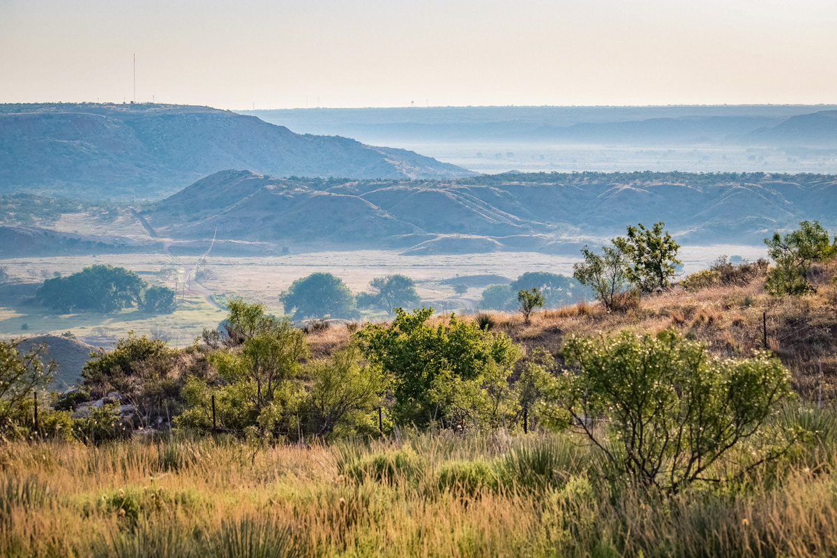
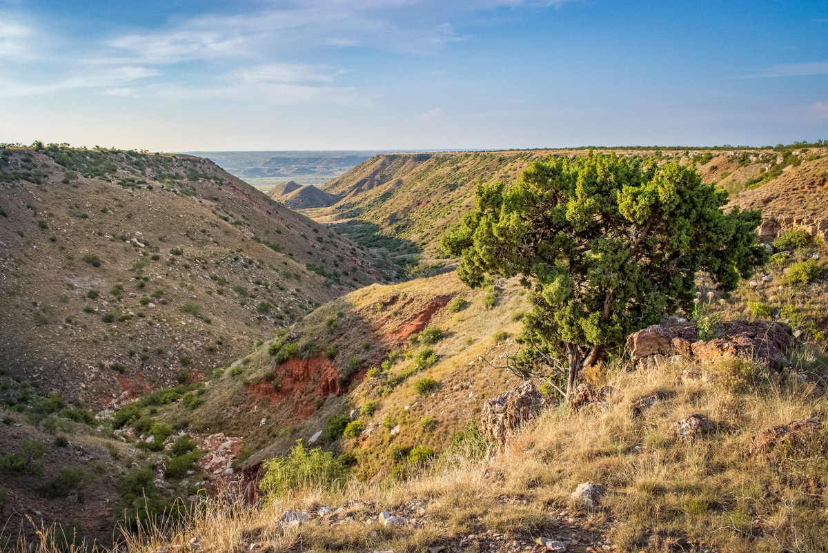
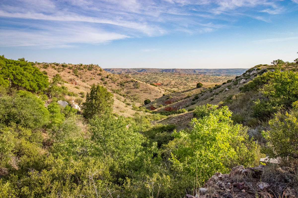
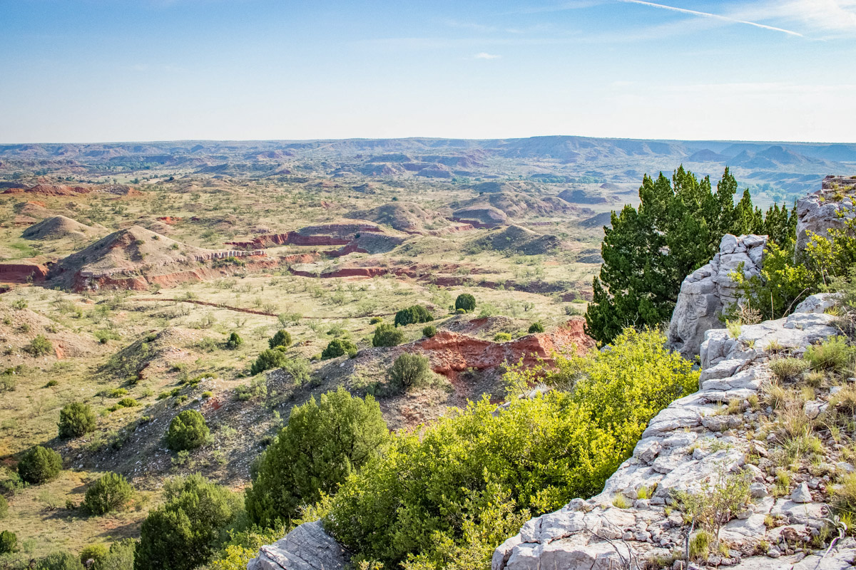
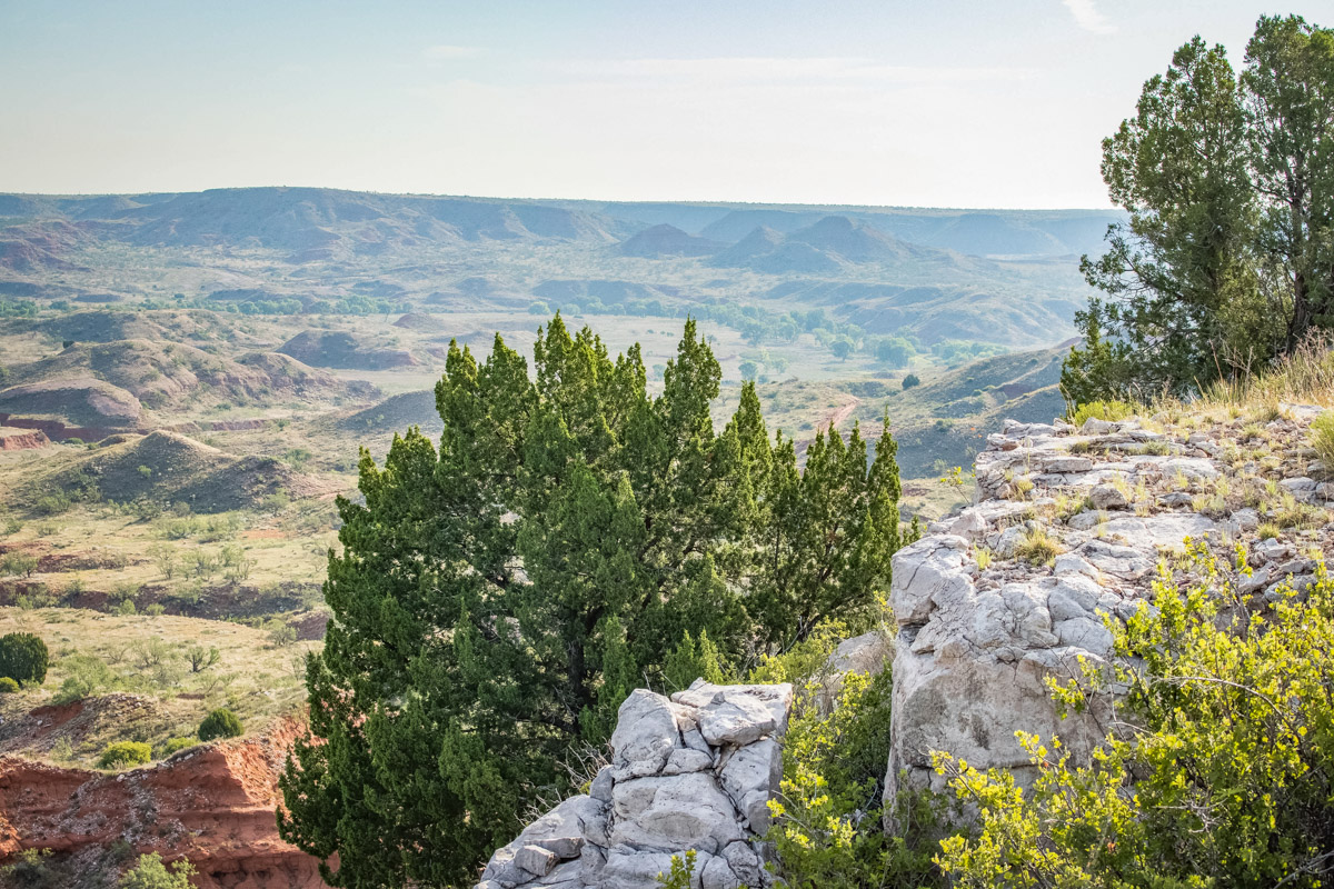
The topography of the Rock Creek Ranch is diverse with a variety of land types ranging from upland flats, elevated ridges, rugged canyons and creek bottoms. The ranch is situated in the Canadian River Breaks, approximately ½ mile west of Lake Meredith.
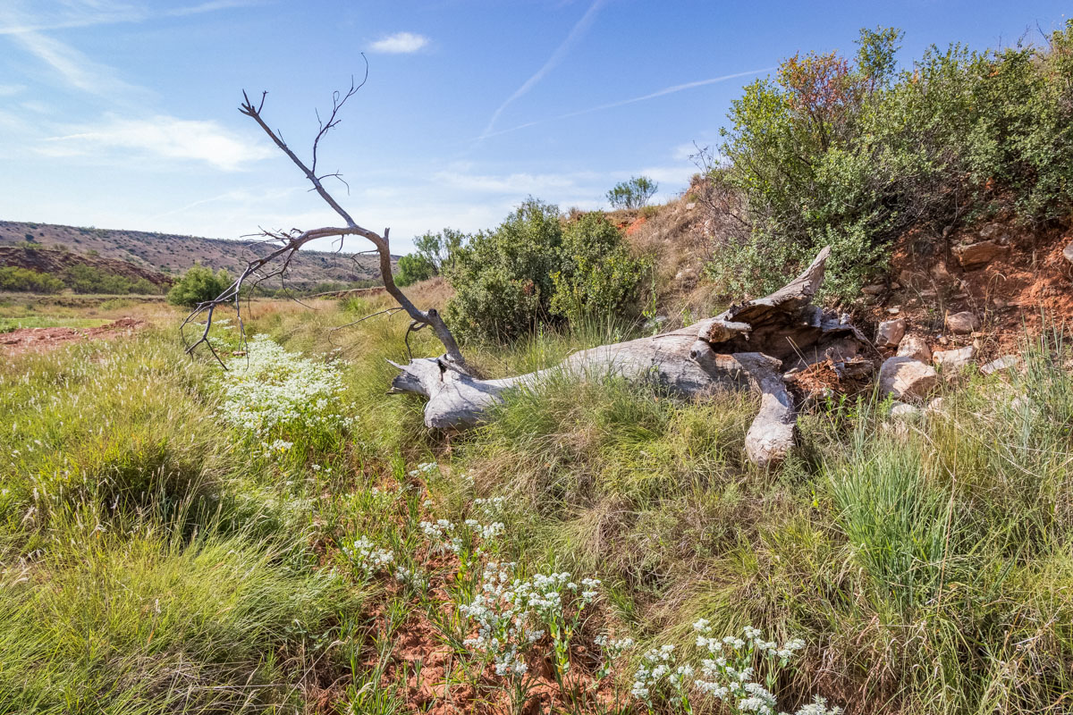
Elevated uplands, with views of downtown Amarillo, extend, primarily, through the central part of the ranch with elevations in the 3,350-foot range. Rugged and scenic canyons surround the uplands, where elevations descend dramatically some 300 feet to the bottoms. Rock Creek heads in the northern part of the ranch, draining to Lake Meredith. Other prominent drainages include McDowell Creek and Devil’s Canyon. Numerous other deep canyons and creek bottoms are found throughout the ranch. Along the winding graded ranch roads, one will find scenic lookouts over the many creek and canyon bottoms and stunning vistas over many miles of the Canadian River Breaks.
Mesquite, along with buffalograss and grama are common on the uplands. The bottomland, along the creeks and draws, supports tall and mid-grasses such as wildrye and bluestem, along with scattered plum thickets, hackberry and mesquite.
The soils here within can be are listed with the accompanying percentages with total area of interest equaling 100: Pullman clay loam (PuA) 65.8%; Randall clay (RaA) 11.13%; Estacado clay loam (EcB) 10.7%; Lofton clay loam (LoA) 8.36%; Olton clay loam (OcA) 2.33%; Olton clay loam (OcB) 1.69%.
See Soil Report for more information.
Exclusions:
There are no known exclusions at this time.
Zoning/Easements:
The property is outside of any municipality so is not zoned. There are no known easements that would affect operation of the farm. It is anticipated all existing easements will be identified by surveyors.
Water Conservation District:
The property lies within the High Plains Groundwater Conservation District.
Area:
This property is located in the northeastern quadrant of Potter County.
Access:
The property can be accessed by a deeded easement off of graded Cig & Hagy Road, that turns off of US 287 North.
Directions:
From Masterson, take Cig Road east about 5.5 miles to Hagy Road. Go south about 1 mile. Go east on dirt road for about 3 miles to ranch gate. See map for directions. Please schedule all property viewings with listing broker.